Food Truck

Avatar Foodtruck

Avatar Food Truck, owned and operated by Chef Anishkumar, a former restaurant chef at Delta Beauséjour, has been proudly serving communities since 2019. What began as a small culinary venture has grown into a well-loved mobile kitchen known for its commitment to quality, consistency, and authentic flavours.

We specialize in both Indian and Canadian cuisine, offering a menu that reflects Chef Anishkumar’s professional training and his passion for fresh, handcrafted food. From traditional Indian favourites to classic Canadian comfort dishes, every item is prepared with care, attention to detail, and a focus on customer satisfaction.
Avatar Food Truck travels across New Brunswick and Nova Scotia throughout the season, bringing diverse flavours to festivals, neighbourhoods, private events, and community gatherings. With a reputation built on reliability, cleanliness, and warm service, we continue to serve thousands of customers each year and look forward to many more seasons on the road.

Warren Lake Trail

Note September 23, 2026: Temporary Bridge Closure

The Warren Lake suspension bridge remains closed due to storm damage

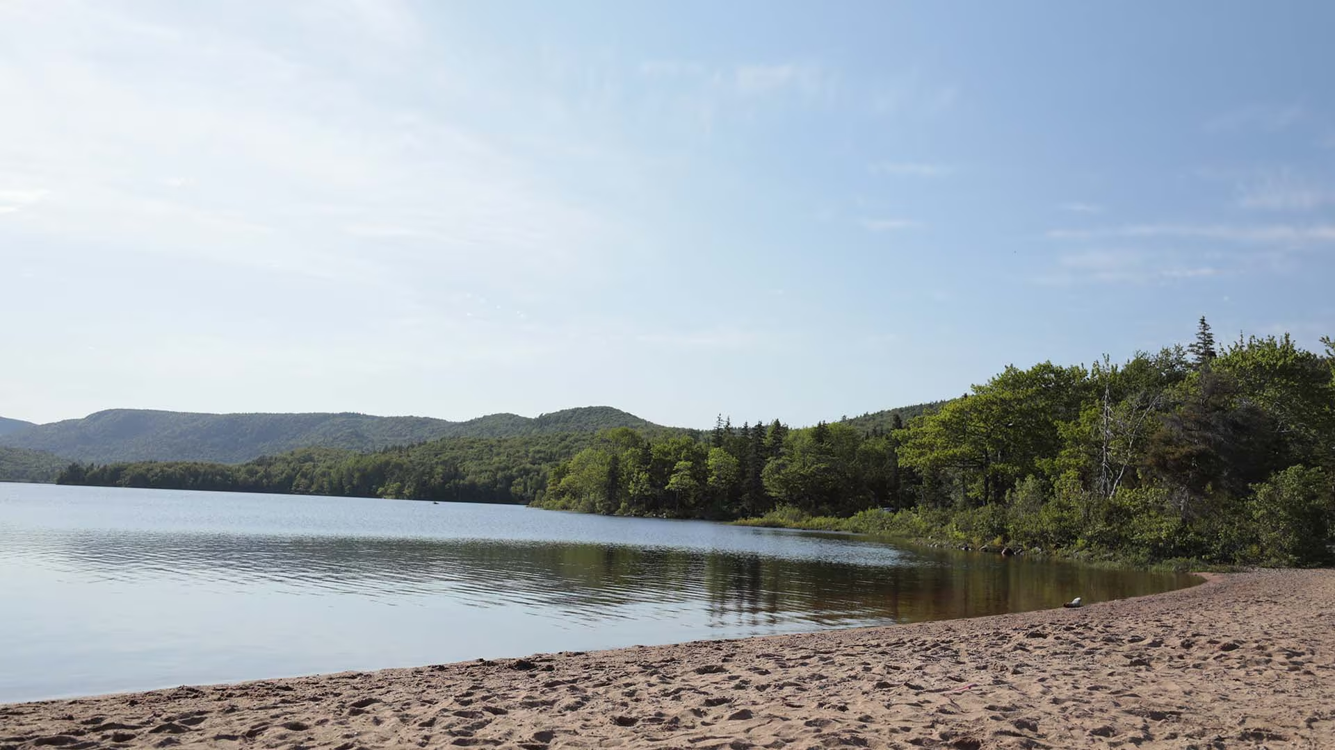
For a relaxing walk or an early morning jog, this level trail is hard to beat. Starting at the Warren Lake picnic area or the access trail from Broad Cove Campground, the trail hugs the shoreline of the park’s largest lake and is alive with wildlife. A wide variety of birds flit through the trees and there is evidence of larger animals like moose and bear. Quiet hikers may catch a glimpse of one of these elusive animals. The west end of the trail can be a bit wet and muddy—be sure to wear appropriate footwear.

Trailhead (2): The Warren Lake picnic area or from the connector trail (1.6 km) across from Broad Cove Campground. 

Significant Feature: Acadian forest, lake

Length: 4.7 km (2.9 mi) loop

Hiking Time: 1.5–2 hours

Elevation: 15 m (50 ft.)Level trail. A few rough and wet sections.
Trail Rating: Moderate

GPS Co-ordinates for Trailhead (in decimal degrees):
Lat: 46.713207 Long: -60.383985

Park is open year-round but full visitor services are only available from mid-May until mid-October. A park pass is required for hiking or use of other services in the park; park entry fee applies. Check in at the Parks Canada visitor centres in Chéticamp (16 Visitor Centre Rd., situated on the west side of the park) or in Ingonish (37637 Cabot Trail, on the east side of the park) to obtain passes, information on visitor safety and any other information you may need, including a trail location map.

For your comfort and safety:

  • Do not approach, disturb or feed wild animals.
  • Take along appropriate clothing – rapid weather changes often occur on the plateau or along the coast.
  • Carry water with you, especially for longer trails, climbs or open barrens.
  • Bring insect repellent as black flies and mosquitoes are common all summer.
  • Mountain bikes are permitted only where indicated, for public safety and protection of the environment.
  • Stay on designated trails and boardwalks to protect fragile vegetation.
  • Do not throw food or scraps along the trails or roads.
  • Read "Keep it Wild, Keep it Safe" brochure, available at park visitor centres and on the Parks Canada website.- Recreational drone use is prohibited within the national park for the safety of wildlife and other visitors.

Skyline Trail

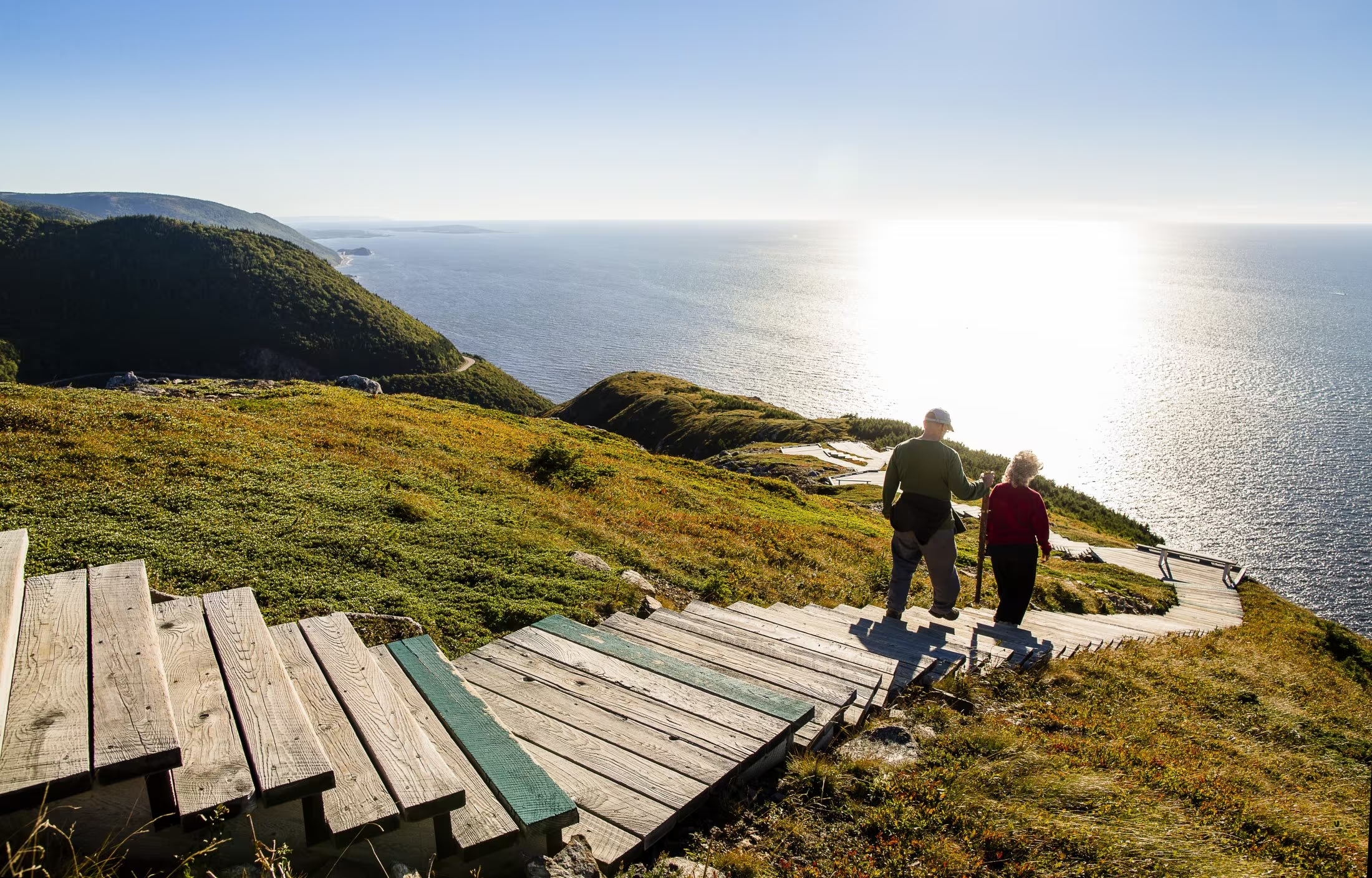
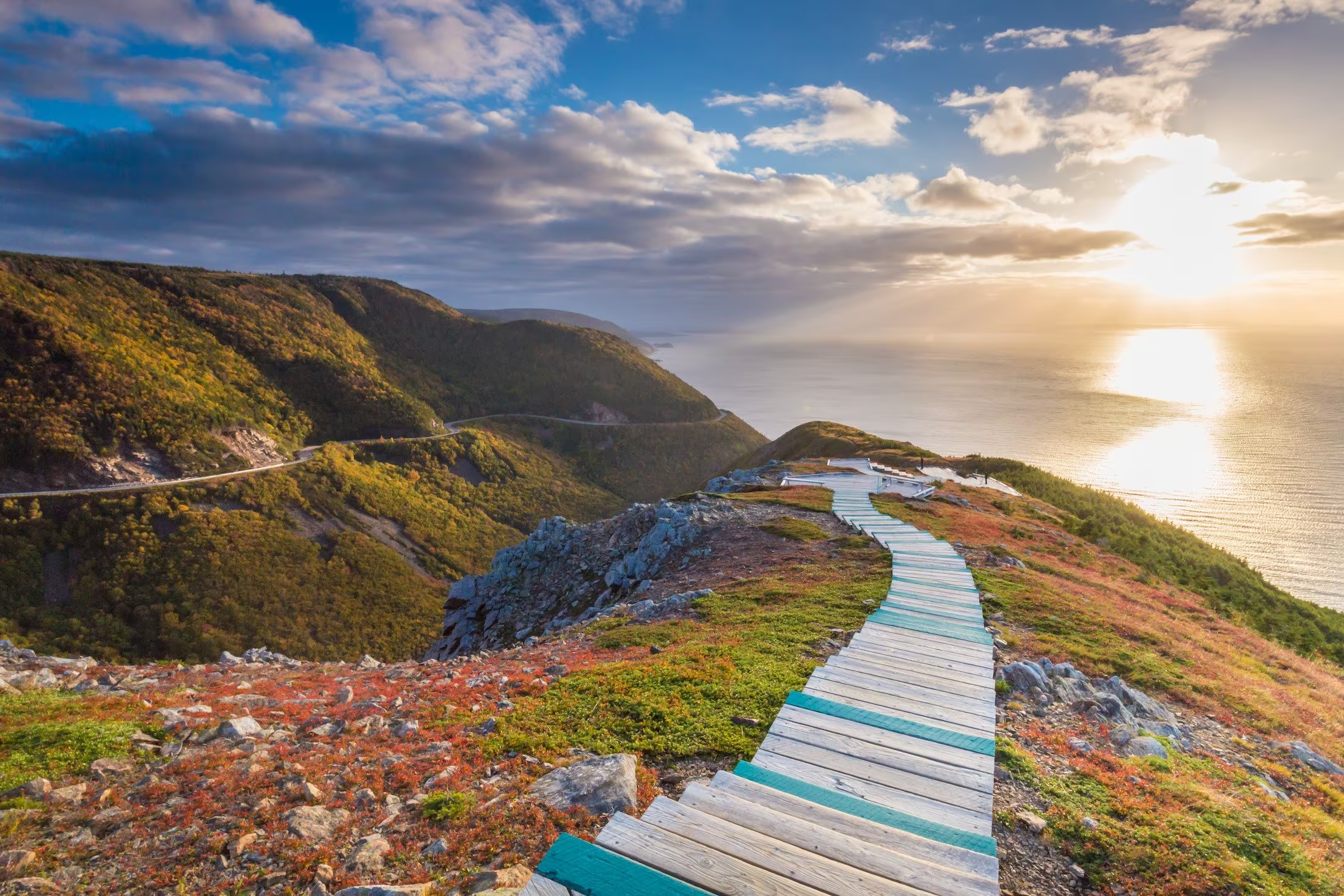
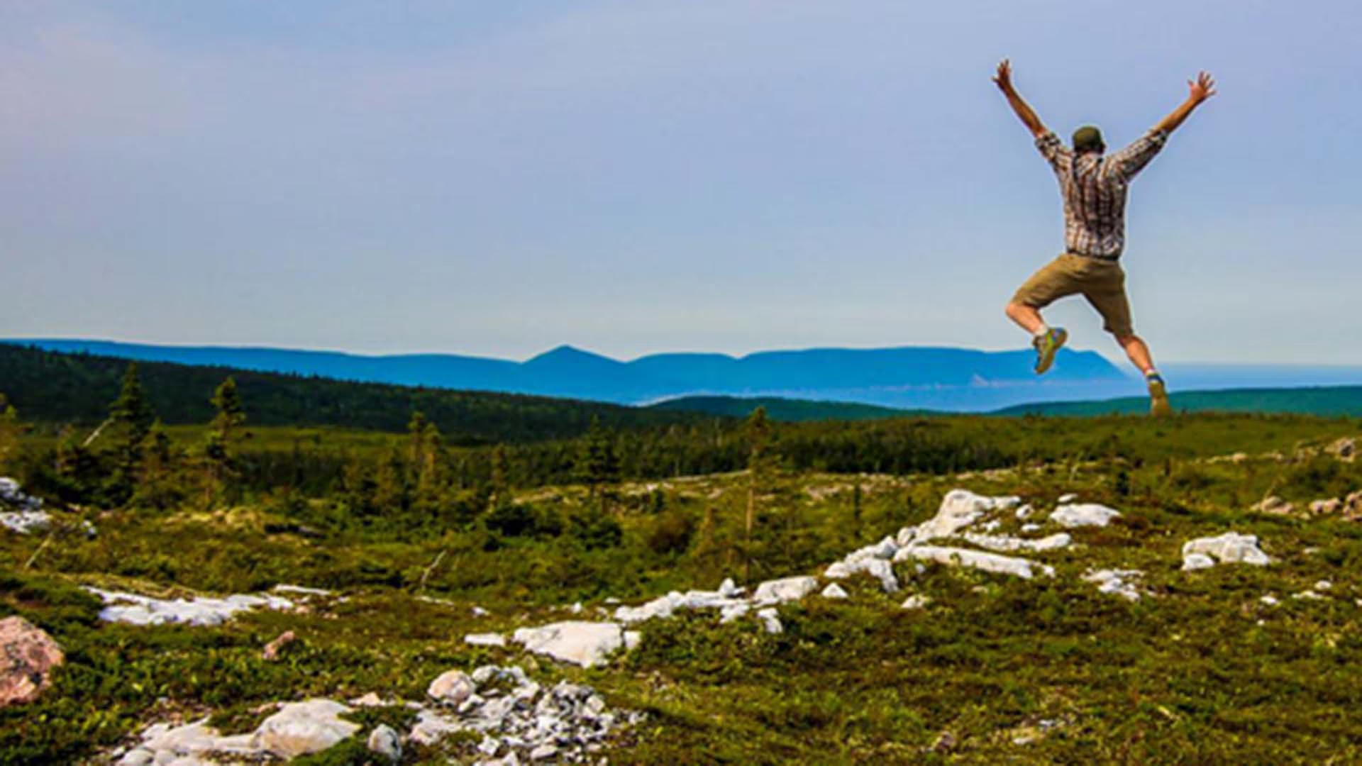
A dramatic headland cliff overlooks the rugged coast from the end of this level trail. You can enjoy an eagle’s view of the Cabot Trail as it winds its way down the mountain and vehicles look like toys. Watch for whales in the Gulf of St. Lawrence from the viewing decks. Moose, bald eagles, bears and numerous boreal birds live in this habitat. Give moose a wide berth. You are required to stay on the boardwalk. This protects the fragile headland plants that are easily damaged by trampling and you, the visitor, from the dangers of steep cliffs and high winds. Fines may be issued for entering restricted areas. For the safety of visitors and wildlife, dogs are not permitted here. Wildlife like moose and bear become particularly agitated in the presence of dogs. 

Trailhead: On the Cabot Trail on the top of French Mountain 

Significant Feature: Headland cliff, ocean

Length: 6.5 km (4 mi) return; 8.2 km (5.1 mi) loop

Hiking Time: 1.5–3 hours

Elevation: 290–405 m (950–1330 ft.)Main trail suitable for most skill levels. Boardwalk with steps at headland.
Trail Rating: Easy

GPS Co-ordinates for Trailhead (in decimal degrees): Lat: 46.737691 Long: -60.880377

Park is open year-round but full visitor services are only available from mid-May until mid-October.

A park pass is required for hiking or use of other services in the park; park entry fee applies. Check in at the Parks Canada visitor centres in Chéticamp (16 Visitor Centre Rd., situated on the west side of the park) or in Ingonish (37637 Cabot Trail, on the east side of the park) to obtain passes, information on visitor safety and any other information you may need, including a trail location map.

For your comfort and safety:

  • Stay on boardwalks to protect fragile vegetation.
  • Dogs are not permitted on the Skyline Trail as they disturb wildlife, especially moose and bear.
  • Do not approach, disturb or feed wild animals.
  • Take along appropriate clothing – rapid weather changes often occur on the plateau or along the coast.
  • Carry water with you, especially for longer trails, climbs or open barrens.
  • Bring insect repellent as black flies and mosquitoes are common all summer.
  • Stay on designated trails and boardwalks to protect fragile vegetation.
  • Do not throw food or scraps along the trails or roads.
  • Read "Keep it Wild, Keep it Safe" brochure, available at park visitor centres and on the Parks Canada website.
  • Recreational drone use is prohibited within the national park for the safety of wildlife and other visitors.

Skyline Trail parking reservations will be required during the 2026 peak season.


A new parking reservation system will be in place from June 26 to October 25, 2026.

To ensure a safe and enjoyable visit, visitors must plan ahead and secure a parking reservation in advance. Once all parking reservations are booked, there is no access to the trail during that time. Visitors are strongly encouraged to book their parking reservation online or by phone before arriving to guarantee entry and avoid disappointment.

Reservations launch May 6, 2026, at 8 a.m. ET / 9 a.m. AT for Skyline Trail parking, required from June 26 to October 25, 2026.

Plan ahead and secure your spot early!

For more information click here.

When to visit

Visitation is highest on weekends and holidays, and advance planning is strongly recommended. From November to May, parking reservations are not required. This quieter period still offers a rewarding Skyline Trail experience, though visitors should note that services are limited. Visitor services are available from mid-May through October 25, 2026.

What are the time slots?

Regular Parking:

• 8:00 am – 12:00 pm

• 9:00 am – 1:00 pm

• 12:00 pm – 4:00 pm

• 1:00 pm – 5:00 pm

• 4:00 pm – 8:00 pm

• 5:00 pm – 9:00 pm

When booking your parking reservation, you’ll choose from a four-hour window that best fits your schedule. This gives you plenty of time to arrive, prepare, and begin your hike. Visitors may check-in within the first hour into their reserved time slot but should arrive no earlier than 10 minutes before their reservation.

Time slot arrivals help space out visitation throughout the day, creating a more relaxed experience. Parking reservations can be made up until 30 minutes past the start of a time slot.

How to book


There are two ways to reserve your parking spot at the Skyline Trail

• Online

• By telephone: 1-877-737-3783

How to make an online reservation for Skyline Trail parking:


If you have never made a Parks Canada reservation or if you haven’t made a reservation since before March 3, 2023, you’ll need to create a new account. For more information on how to create a Parks Canada Reservation Service account, click here.

Skyline Sunset Hike

Immerse yourself in the splendour of the sunset as the ocean glistens below. A walk through the boreal forest reveals this panoramic view, often graced by bald eagles, whales and moose. Here, the mountains truly meet the sea.

Your evening hike begins two hours before sunset at the Skyline trailhead, north of Chéticamp. Marvel at the picturesque scenery as your guide leads you along the trail to a jaw-dropping view from the Skyline headland, just in time to watch the sun as it sets on the Gulf of St. Lawrence.

Along the way, listen as your guide stops to describe the area’s biodiversity. Visit a viewing platform and learn more about the challenges facing the area’s boreal forest, as well as the effects of over-browsing by the moose population.

Once you reach the headland, feel free to enjoy the views and the sunset on your own. Your guide is also available for questions. Return to the trailhead at your leisure, or walk back with your guide.

Length: 3 hours

Offered: Daily, June 23 – October 12, 2025

Time: Tour begins 2-hours before sunset. Find out the sunset time here.

Price: $29.50 per person

Book your tickets at Parks Canada visitor centres, campground kiosks, or by contacting: 902-224-2306 or cbinfo@pc.gc.ca.

Good to know:

  • Recommended for visitors aged 12 and up
  • Suitable for most fitness levels
  • Meet at the Skyline trailhead, near the gate and sign at the turnaround end of the parking lot
  • The Skyline Trail is a 15-minute drive from Chéticamp Campground
  • Advance booking is required
  • Maximum of 20 participants
  • This guided hike will take place in most weather conditions, as long as participants wish to attend; however, in the case of lightning, the hike will be cancelled
  • Dress appropriately for the weather and be prepared to apply insect repellant or sunscreen
  • Sturdy shoes are recommended. Participants should bring their own drinking water.

North Bay Beach

For those seeking a quieter, more secluded beach experience, this long expanse of sand beach is very inviting. 

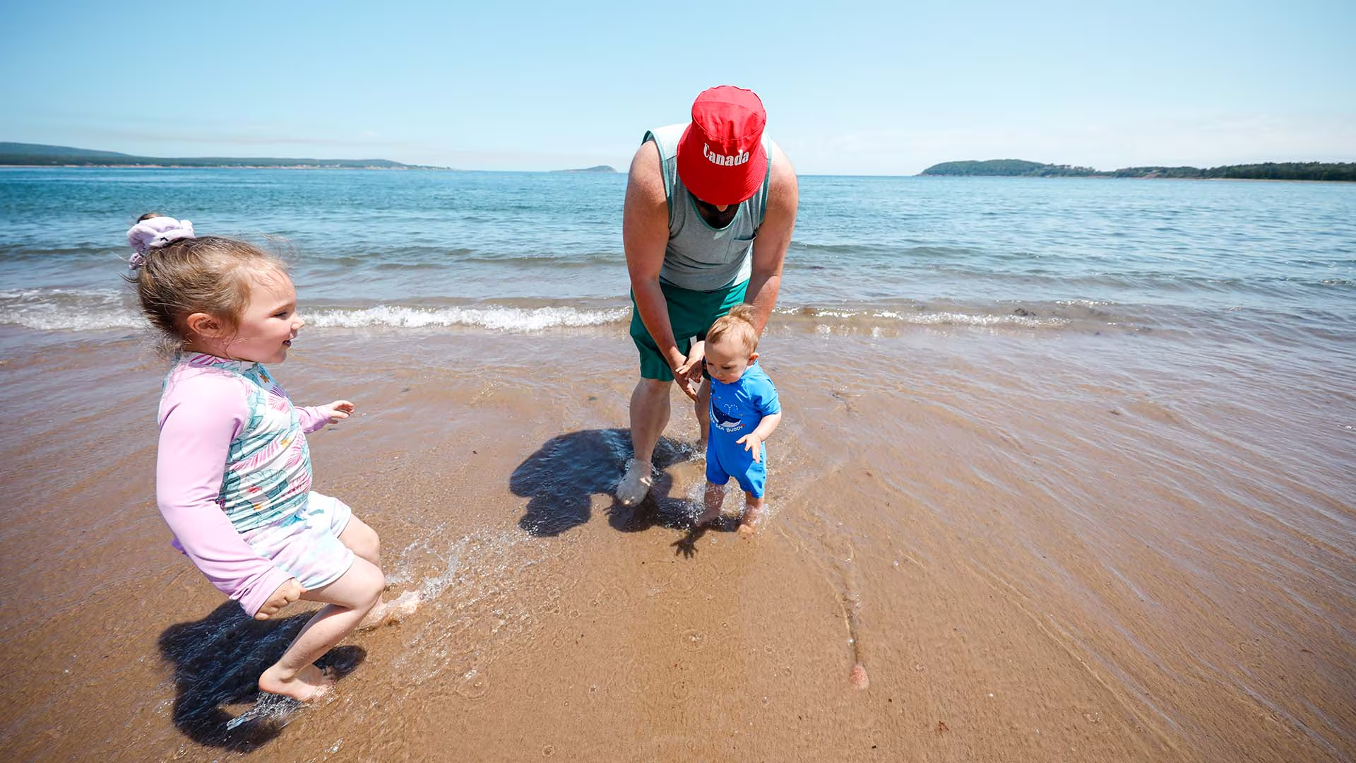
Families will enjoy splashing in the gentle waves, building epic sandcastles, and sharing a picnic under the shade of apple trees. No lifeguards on duty. Dogs on leash are permitted for walking.

Walk the shoreline down to the Clyburn estuary then cool off with a saltwater swim. Help protect the special ecology of this area. Avoid walking on the dune grasses, which stabilize the sand dunes surrounding the beach and are home to several species of birds.

Cape Breton Highlands National Park’s operating season is from mid-May to mid-October, with full services in July and August. The Cabot Trail is open year-round. A park pass is required for use of all services and facilities in the national park, including beaches. Revenues are used to maintain and improve park services.

For more swimming adventures, visit our website:  https://parks.canada.ca/pn-np/ns/cbreton/activ/baignade-swimming

#KeepitWild
Please be responsible and join with us in caring for our environment. Take your garbage with you, keep wildlife at a safe distance, and stay on designated trails to protect fragile plant life. 
Nature, other visitors, and future generations will be thankful for your stewardship.

Mica Hill Trail

This breathtaking trail winds through Acadian mixed forest and stunted taiga as it climbs to the windswept plateau. It offers 360° views spanning the barrens, the dramatic Aspy fault, coastal villages far below and mountains reaching the most northern tip of Cape Breton. Continue along a narrower footpath to Mica Hill’s remarkable displays of mica glittering amongst the quartz boulders. Explore a small side loop past Paquette Lake on your return.

Trailhead: Take the Paquette Lake road and park at the lake 

Significant Feature: Highlands taiga, mica-quartz pegmatite
Length: 7.9 km (4.9 mi) return; 8.4 km (5.2 mi) with loop

Hiking Time: 3–4 hours

Elevation: 260–400 m (850–1345 ft.) Gradual climb.
Trail Rating: Moderate

GPS Co-ordinates for Trailhead (in decimal degrees): Lat: 46.834629 Long: -60.434124

Open from mid-May to mid-October. A park pass is required for hiking or use of other services in the park; park entry fee applies. Check in at the Parks Canada visitor centres in Chéticamp (16 Visitor Centre Rd., situated on the west side of the park) or in Ingonish (37637 Cabot Trail, on the east side of the park) to obtain passes, information on visitor safety and any other information you may need, including a trail location map.

For your comfort and safety:

  • Do not approach, disturb or feed wild animals.
  • Take along appropriate clothing – rapid weather changes often occur on the plateau or along the coast.
  • Carry water with you, especially for longer trails, climbs or open barrens.
  • Bring insect repellent as black flies and mosquitoes are common all summer.
  • Mountain bikes are permitted only where indicated, for public safety and protection of the environment.
  • Stay on designated trails and boardwalks to protect fragile vegetation.
  • Do not throw food or scraps along the trails or roads.
  • Read "Keep it Wild, Keep it Safe" brochure, available at park visitor centres and on the Parks Canada website.
  • Recreational drone use is prohibited within the national park for the safety of wildlife and other visitors.

MacIntosh Brook Falls Trail

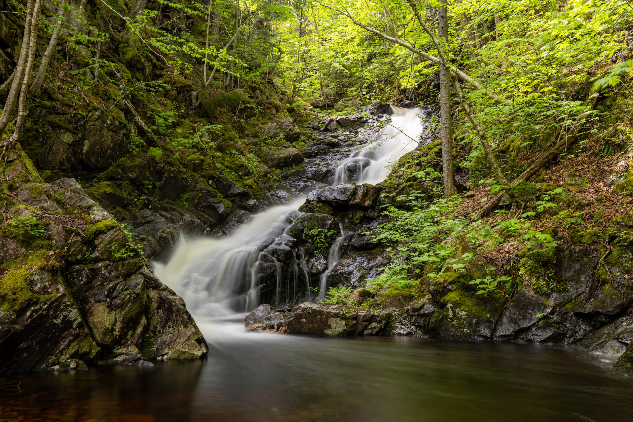
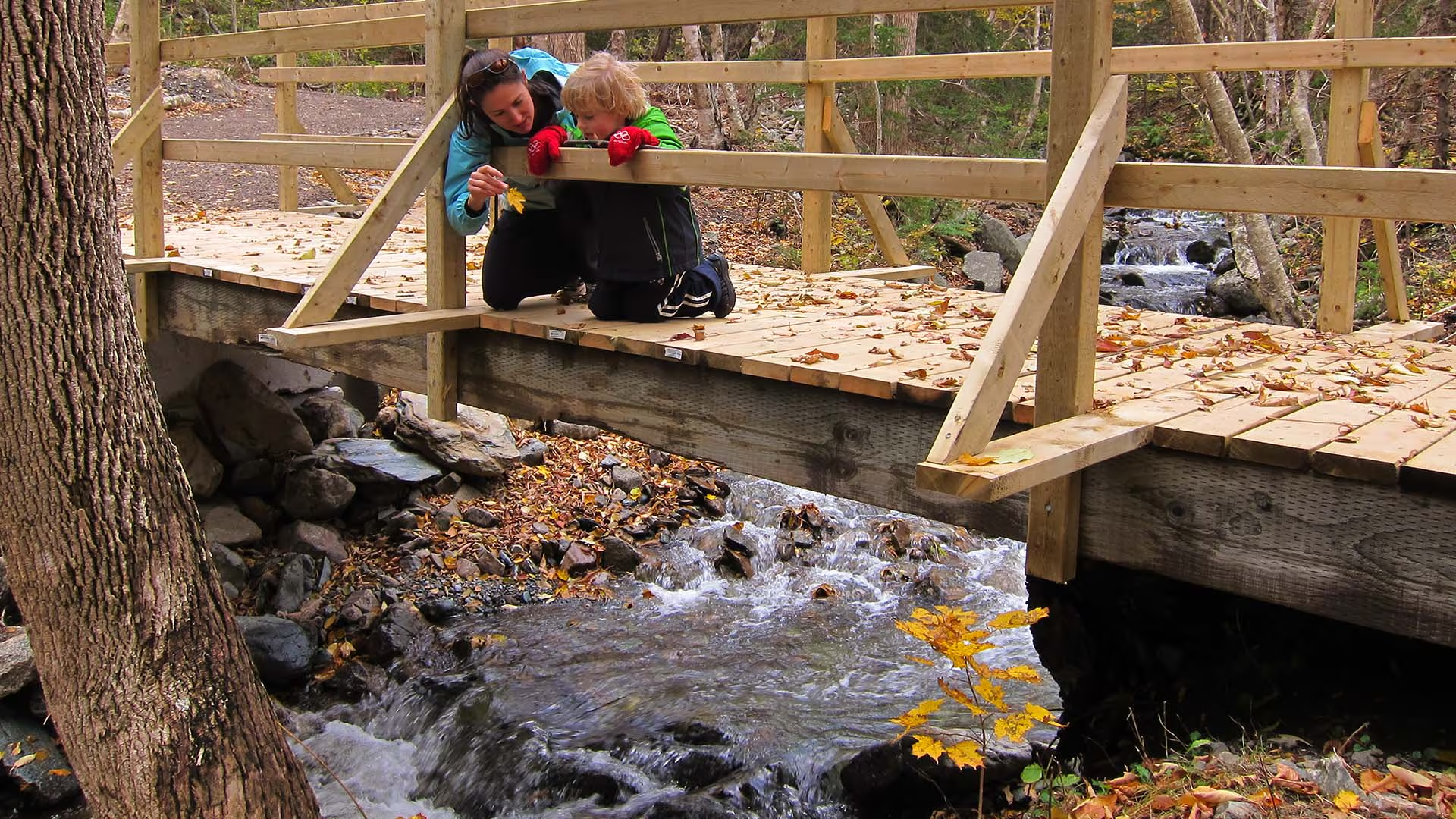
Enjoy a family-friendly, fairly level stroll along a babbling brook and through a mature hardwood forest with a picturesque waterfall at the end. Be serenaded by the songs of forest birds along this relaxing trail. You can even charge your vehicle at the EV charging stations near the trailhead while you hike. 

Trailhead: MacIntosh Brook Campground and day use area 

Significant Feature: Old growth Acadian forest, waterfall

Length: 1.7 km (1.1 mi) return

Hiking Time: 30–45 min

Elevation: 30–65 m (100–215 ft.)Suitable for most skill levels. Uneven trail surface (exposed roots) in some places.
Trail Rating: Easy

Trailhead: 46°48’43.4"N 60°46’04.3"W

Waterfall: 46°48’29.8"N 60°45’43.8"W

Open from mid-May to mid-October. A park pass is required for hiking or use of other services in the park; park entry fee applies. Check in at the Parks Canada visitor centres in Chéticamp (16 Visitor Centre Rd., situated on the west side of the park) or in Ingonish (37637 Cabot Trail, on the east side of the park) to obtain passes, information on visitor safety and any other information you may need, including a trail location map.

For your comfort and safety:

  •  Do not approach, disturb or feed wild animals.
  •  Take along appropriate clothing – rapid weather changes often occur on the plateau or along the coast.
  •  Carry water with you, especially for longer trails, climbs or open barrens.
  •  Bring insect repellent as black flies and mosquitoes are common all summer.
  •  Mountain bikes are permitted only where indicated, for public safety and protection of the environment.
  •  Stay on designated trails and boardwalks to protect fragile vegetation.
  •  Do not throw food or scraps along the trails or roads.
  •  Read "Keep it Wild, Keep it Safe" brochure, available at park visitor centres and on the Parks Canada website.
  •  Recreational drone use is prohibited within the national park for the safety of wildlife and other visitors.

MacIntosh Brook Campground

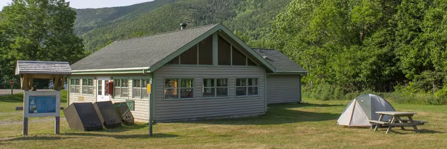
Located in Cape Breton Highlands National Park, MacIntosh Brook Campground is nestled in the Grande Anse Valley, a hardwood valley between North and MacKenzie Mountains, 5 km from Pleasant Bay. 

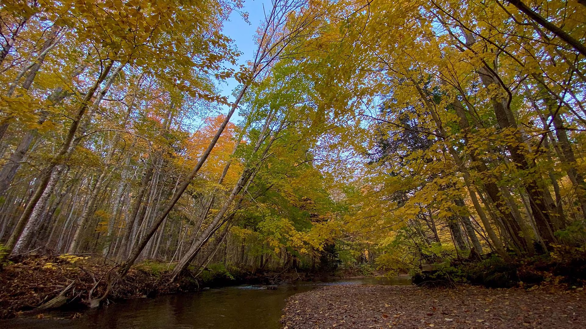
A wide open, grassy area with 10 unserviced sites alongside MacIntosh Brook. This is a beautiful campground to enjoy breathtaking fall scenery. Charge up at our electric vehicle (EV) charging stations before continuing on your journey. 

GPS Location: N46 48.753 W60 46.063

Campground Services:

  • Washrooms with flush toilets
  • Large kitchen shelter with wood stoves
  • Boil water before drinking
  • An emergency call box is available as cell service is unreliable in this area

Pay by self-registration or at Parks Canada Visitor Centres
  There are several walking and hiking trails nearby:  

  • MacIntosh Brook – for a walk in old-growth forest along the river to a waterfall. Interpretive panels share Mi’kmaw culture.
  • Lone Shieling – to see a replica of a Scottish crofters hut
  • Fishing Cove – Hike from the top of the mountain down to a small ocean cove, where a Scottish fishing community once existed on the rugged coast. One of the most challenging trails in the park!

Park is open year-round but full visitor services are only available from mid-May until mid-October. 

#KeepitWild


Please be responsible and join with us in caring for our environment. Take your garbage with you, keep wildlife at a safe distance, and stay on designated trails to protect fragile plant life. 
Nature, other visitors, and future generations will be thankful for your stewardship.

Lone Shieling Trail

Featuring 400-year-old sugar maple trees, the Grande Anse Valley is one of the largest old-growth hardwood forests in the Maritimes. As one of the most protected areas of the park, access is restricted to this short trail. A replica of a Scottish crofter’s hut is found at the beginning of the trail – find out why it’s here. Keep an eye out for wildlife – moose like it here too.

Trailhead: On the Cabot Trail at the base of North Mountain 

Significant Feature: Old-growth Acadian forest, Scottish heritage

Length: 0.6 km (0.4 mi) loop

Hiking Time: 15 minutes

Elevation: 70 m (230 ft.)Interactive loop suitable for most skill levels.

Trail Rating: Easy

GPS Co-ordinates for Trailhead (in decimal degrees):Lat: 46.809804 Long: -60.733019

Park is open year-round but full visitor services are only available from mid-May until mid-October.  A park pass is required all year for hiking or use of other services in the park.  Check in at the Parks Canada Visitor Centres in Chéticamp (16 Visitor Centre Road, just off the Cabot Trail on the west side of the park) or in Ingonish (37637 Cabot Trail, on the east side of the park) to obtain passes, information on visitor safety and any other information you may need, including a trail location map.

For your comfort and safety:

  • Do not approach, disturb or feed wild animals. 
  • Take along appropriate clothing 
  • Rapid weather changes often occur on the plateau or along the coast.
  • Carry water with you, especially for longer trails, climbs or open barrens.
  • Bring insect repellent as black flies and mosquitoes are common all summer.
  • Mountain bikes are permitted only where indicated, for public safety and protection of the environment.
  • Stay on designated trails and boardwalks to protect fragile vegetation.
  • Do not throw food or scraps along the trails or roads.
  • Read "Keep it Wild, Keep it Safe" brochure, available at park visitor centres and on the Parks Canada website.
  • Recreational drone use is prohibited within the national park for the safety of wildlife and other visitors.

Le vieux chemin du Cap-Rouge Trail

Follow the route of the old Cabot Trail from Trout Brook as it gently climbs to a ridge midway up Jerome Mountain, offering views of the Atlantic along the entire length of this trail. Traces of Acadian history abound, with foundations of an old school and of former residents’ houses along the trail. The old wharf at La Bloc is also visible at various points on the journey. Your efforts will be rewarded at the final look-off featuring spectacular views of Presqu’île and the Gulf of St. Lawrence. An exhibit at the look-off provides further information on the families who used to live here.

Trailhead: On the Cabot Trail across from Trout Brook
Significant Features: Acadian history, ocean view
Length: 8.8 km (5.5 mi) return
Time: 2–3 hours
Elevation: 40–110 m (130–360 ft)
Long, gentle climb. Suitable for most skill levels.
Trail Rating: Easy

GPS Co-ordinates for Trailhead (in decimal degrees): Lat: 46.714762 Long: -60.933245

Park is open year-round but full visitor services are only available from mid-May until mid-October. A park pass is required for hiking or use of other services in the park; park entry fee applies. Check in at the Parks Canada visitor centres in Chéticamp (16 Visitor Centre Rd., situated on the west side of the park) or in Ingonish (37637 Cabot Trail, on the east side of the park) to obtain passes, information on visitor safety and any other information you may need, including a trail location map.

For your comfort and safety:
– Do not approach, disturb or feed wild animals.
– Take along appropriate clothing – rapid weather changes often occur on the plateau or along the coast.
– Carry water with you, especially for longer trails, climbs or open barrens.
– Bring insect repellent as black flies and mosquitoes are common all summer.
– Mountain bikes are permitted only where indicated, for public safety and protection of the environment.
– Stay on designated trails and boardwalks to protect fragile vegetation.
– Do not throw food or scraps along the trails or roads.
– Read "Keep it Wild, Keep it Safe" brochure, available at park visitor centres and on the Parks Canada website.- Recreational drone use is prohibited within the national park for the safety of wildlife and other visitors.