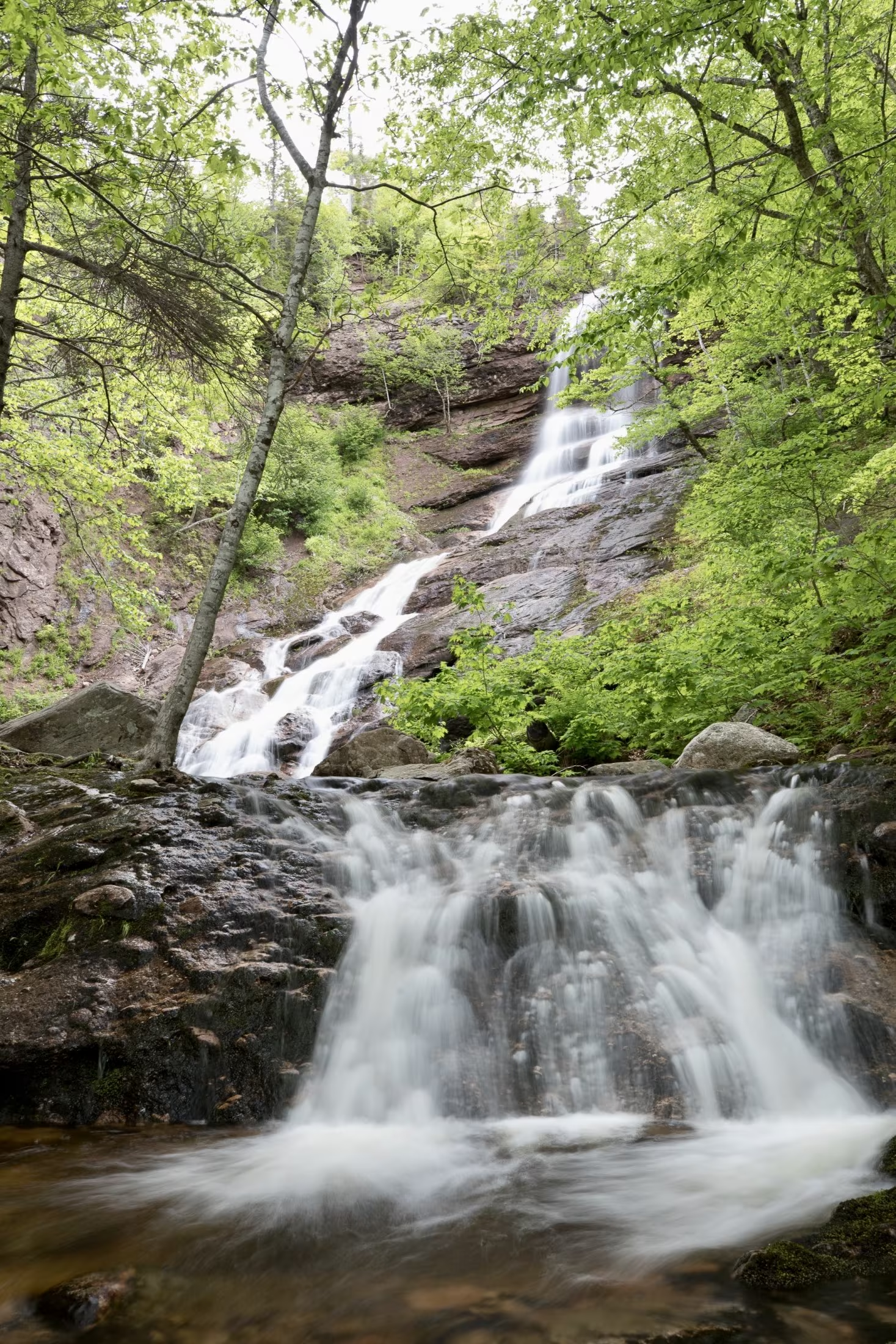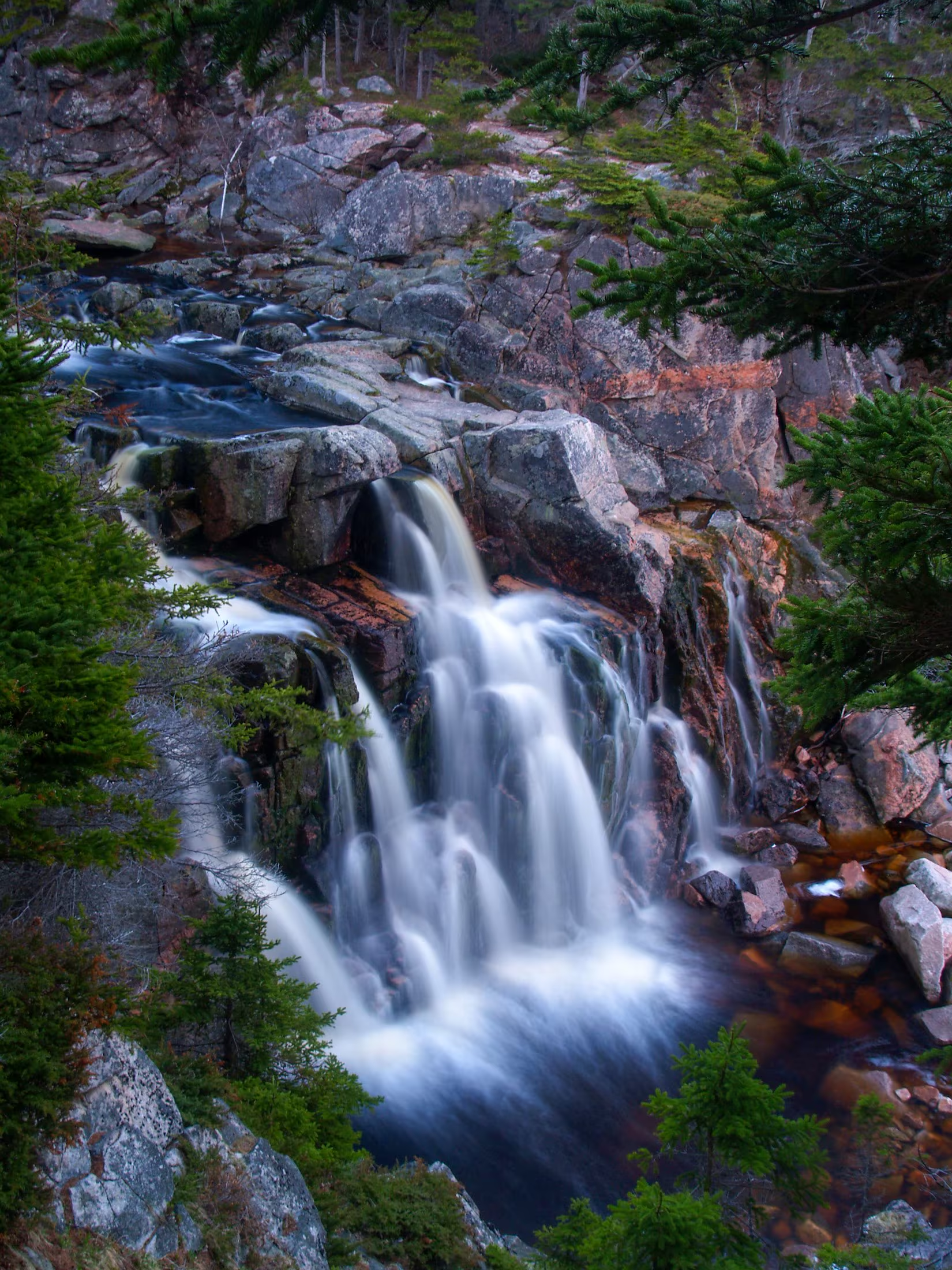
Take in the ocean views at one of Cape Breton Highlands National Park’s most popular beaches bordered by a gentle waterfall. Swim in the ocean or dip your toes in the freshwater brook. Gather with friends and family at the picnic shelter or fire pits on site. Launch an outdoor adventure on one of the hiking trails that connect to the beach, or spend an afternoon at the playground surrounded by nature.
Change houses and washrooms, including one accessible washroom, are available. Park your vehicle in the paved lot north of Black Brook. No lifeguards on duty at this beach.
Cape Breton Highlands National Park’s operating season is from mid-May to mid-October, with full services in July and August. The Cabot Trail is open year-round. A park pass is required for use of all services and facilities in the national park, including beaches. Revenues are used to maintain and improve park services.
For more swimming adventures, visit our website: https://parks.canada.ca/pn-np/ns/cbreton/activ/baignade-swimming
Still Brook Falls:
Trail Head: 46°46’42.6"N 60°19’56.2"W
Waterfall: 46°04’25.7"N 60°55’19.0"W
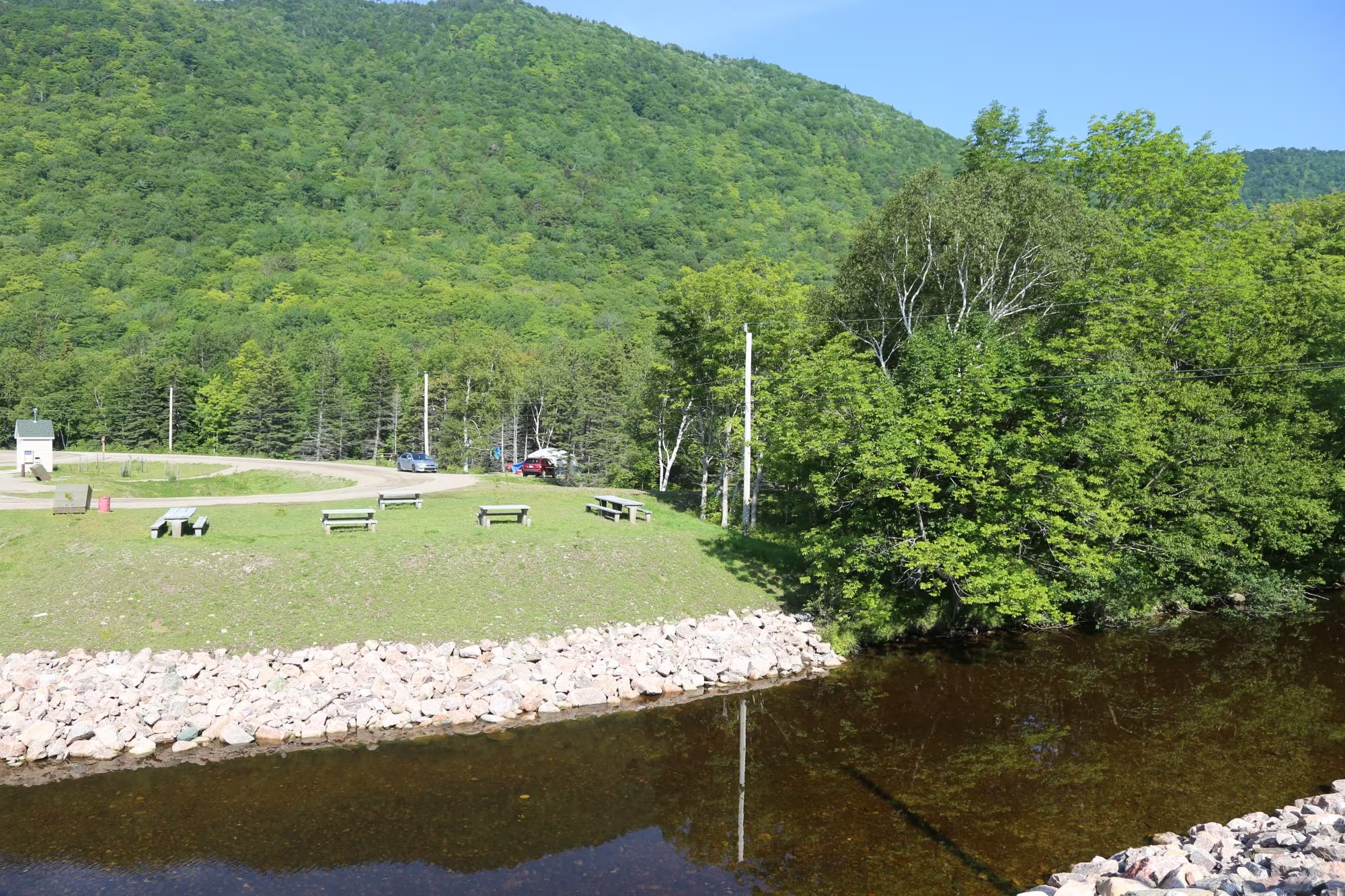
Big Intervale Campground is a small campground in Cape Breton Highlands National Park, located on the bank of the Aspy River and the base of of North Mountain. It is 10 km from Cape North. Location: 46.830550, -60.612670
With only 5 tent sites, it’s a good spot to pull over and camp on your way around the Cabot Trail, especially if it’s late in the day and you don’t want to travel over the mountains after dark.
If you’re cycling around the Cabot Trail, this is an excellent spot to camp before you continue your journey.
Please note that there is no potable water available on site. Make sure you pack extra drinking water.
Pay by self-registration or at a Parks Canada Visitor Centre. Reservations not accepted.
Campground Services:
Enjoy these walking and hiking trails within a short driving distance:
- Aspy, start at Beulach Ban Falls and follow the valley up to a look-off that offers panoramic views of the Aspy Fault and the cascading highlands that surround it.
- Lone Shieling, to see a replica of a Scottish crofters hut and a towering old growth hardwood forest, one of the oldest in the Maritimes.
- Mica Hill, to a gradual climb through an Acadian forest which transitions into a taiga landscape. Continue along a narrower footpath to Mica Hill’s remarkable outcrops of quartz and mica.
#KeepitWild
Please be responsible and join with us in caring for our environment. Take your garbage with you, keep wildlife at a safe distance, and stay on designated trails to protect fragile plant life.
Nature, other visitors, and future generations will be thankful for your stewardship.
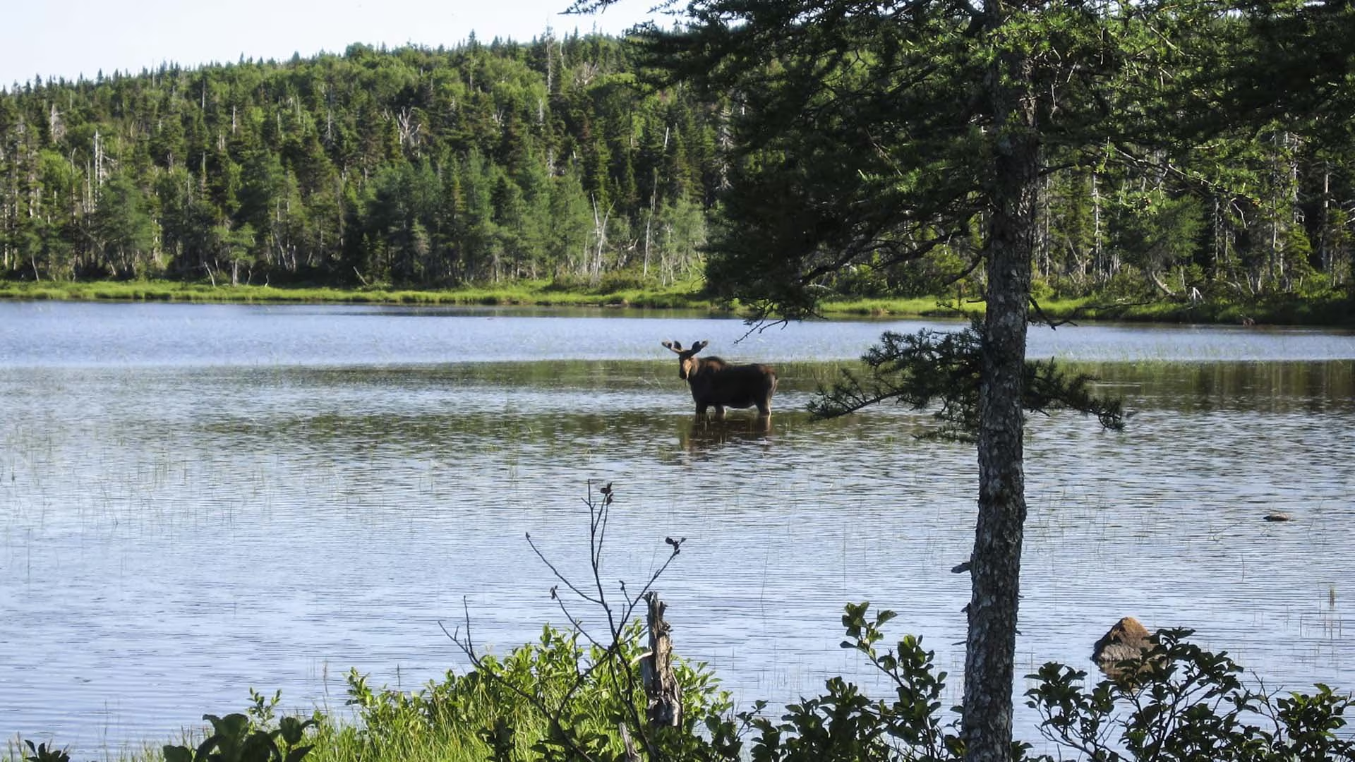
On the plateau at the top of French Mountain, this trail crosses wet barrens and evergreen forests typical of the highlands, ending at a small lake. Boardwalks in some sections keep you dry and protect the habitat from trampling. Moose are frequently seen as well as a variety of northern birds.
Trailhead: On the Cabot Trail at the top of French Mountain
Significant Feature: Boreal highland forestLength: 3 km (1.9 mi) return.
Hiking Time: 1–1.5 hours
Elevation: 400 m (1315 ft.)Level trail, suitable for most skill levels. Some muddy sections.
Trail Rating: Easy
GPS Co-ordinates for Trailhead (in decimal degrees): Lat: 46.747348 Long: -60.821458
Open from mid-May to mid-October. A park pass is required for hiking or use of other services in the park; park entry fee applies. Check in at the Parks Canada visitor centres in Chéticamp (16 Visitor Centre Rd., situated on the west side of the park) or in Ingonish (37637 Cabot Trail, on the east side of the park) to obtain passes, information on visitor safety and any other information you may need, including a trail location map.
For your comfort and safety:
- Do not approach, disturb or feed wild animals.
- Take along appropriate clothing – rapid weather changes often occur on the plateau or along the coast.
- Carry water with you, especially for longer trails, climbs or open barrens.
- Bring insect repellent as black flies and mosquitoes are common all summer.
- Mountain bikes are permitted only where indicated, for public safety and protection of the environment.
- Stay on designated trails and boardwalks to protect fragile vegetation.
- Do not throw food or scraps along the trails or roads.
- Read "Keep it Wild, Keep it Safe" brochure, available at park visitor centres and on the Parks Canada website.- Recreational drone use is prohibited within the national park for the safety of wildlife and other visitors
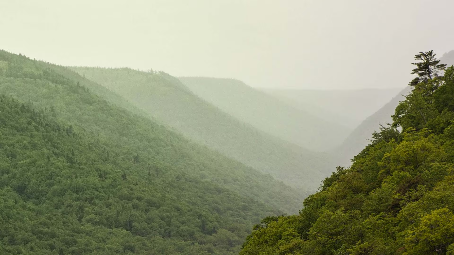
This trail meanders along the Aspy fault, through an Acadian and mixed forest. As nature reclaims land once used for farming and logging, a regenerated forest begins to blend in with the old growth. The magnificent red oak and the hoots of the barred owl or great horned owl will appeal to the true nature enthusiast. Waterproof hiking boots are recommended.
Trailhead: At the parking lot for Beulach Ban Falls
Significant Features: Acadian and mixed forest
Length: 9.6 km (6 mi) return
Hiking time: 3–4 hours
Elevation: 60–450 m (200–1,500 ft)
Short climbs. Rugged sections.
Trail Rating: Moderate/Difficult
GPS Co-ordinates for Trailhead (in decimal degrees):
Lat: 46.814041 Long: -60.626273
Park is open year-round but full visitor services are only
available from mid-May until mid-October. A park pass is required for hiking or use of other services in the park; park entry fee applies. Check in at the Parks Canada visitor centres in Chéticamp (16 Visitor Centre Rd., situated on the west side of the park) or in Ingonish (37637 Cabot Trail, on the east side of the park) to obtain passes, information on visitor safety and any other information you may need, including a trail location map.
For your comfort and safety:
– Do not approach, disturb or feed wild animals.
– Take along appropriate clothing – rapid weather changes often occur on the plateau or along the coast.
– Carry water with you, especially for longer trails, climbs or open barrens.
– Bring insect repellent as black flies and mosquitoes are common all summer.
– Mountain bikes are permitted only where indicated, for public safety and protection of the environment.
– Stay on designated trails and boardwalks to protect fragile vegetation.
– Do not throw food or scraps along the trails or roads.
– Read “Keep it Wild, Keep it Safe” brochure, available at park visitor centres and on the Parks Canada website.- Recreational drone use is prohibited within the national park for the safety of wildlife and other visitors