Kauzmann Trail is a 3.7 kilometer lightly trafficked out and back trail located near Bay Saint Lawrence East, Nova Scotia, Canada that features a river. The trail is good for all skill levels and primarily used for hiking, walking, and nature trips.
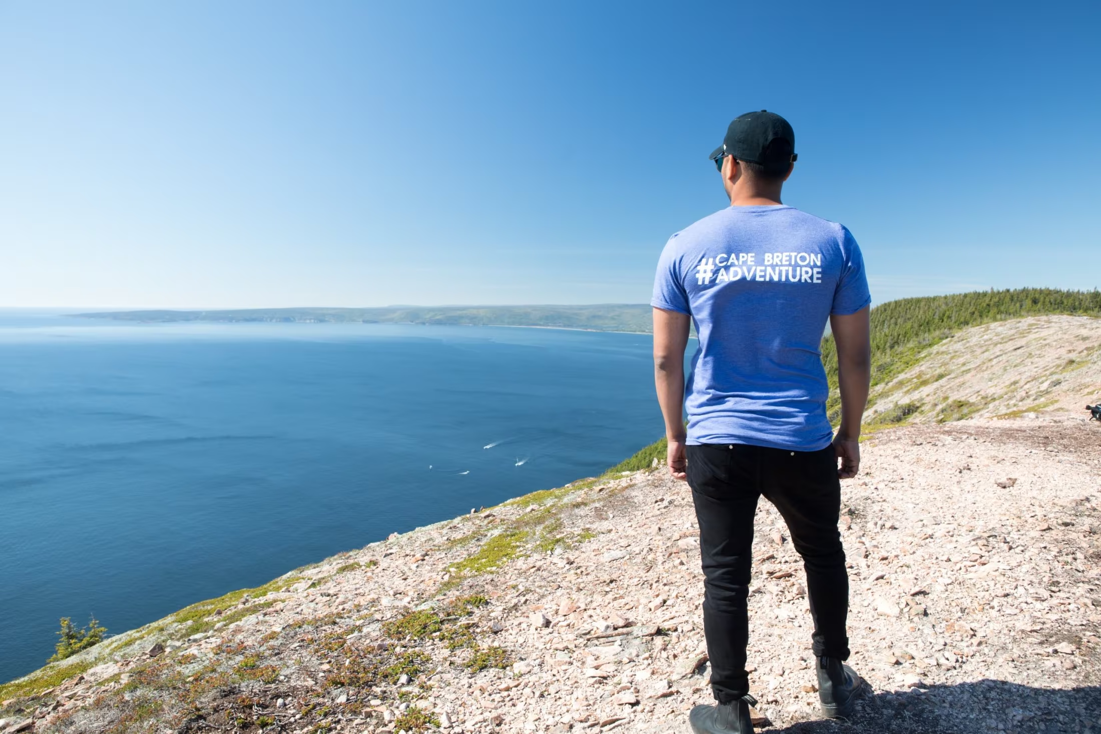
Kauzmann Trail is a 3.7 kilometer lightly trafficked out and back trail located near Bay Saint Lawrence East, Nova Scotia, Canada that features a river. The trail is good for all skill levels and primarily used for hiking, walking, and nature trips.
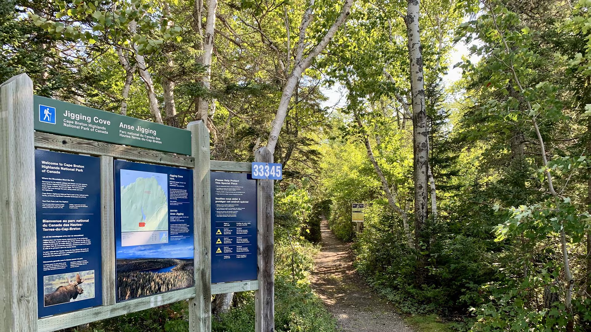
Birders and other nature lovers will enjoy the varied wildlife on this short relaxing trail, following the shoreline of a small man-made lake. The trail name comes from a nearby cove, where fishermen used to jig for cod.
Trailhead: Parking lot on the Cabot Trail
Significant Feature: Acadian forest, lake
Length: 2.15 km (1.6 mi) loop
Hiking Time: 2–3 hours
Elevation: 0–65 m (0–215 ft.)
Trail Rating: Easy – Level trail. Narrow with wet sections.
GPS Co-ordinates for Trailhead (in decimal degrees): Lat: 46.787754 Long: -60.346626
Park is open year-round but full visitor services are only available from mid-May until mid-October. A park pass is required all year for hiking or use of other services in the park; park entry fee applies. Check in at the Parks Canada visitor centres in Chéticamp (16 Visitor Centre Rd., situated on the west side of the park) or in Ingonish (37637 Cabot Trail, on the east side of the park) to obtain passes, information on visitor safety and any other information you may need, including a trail location map.
For your comfort and safety:
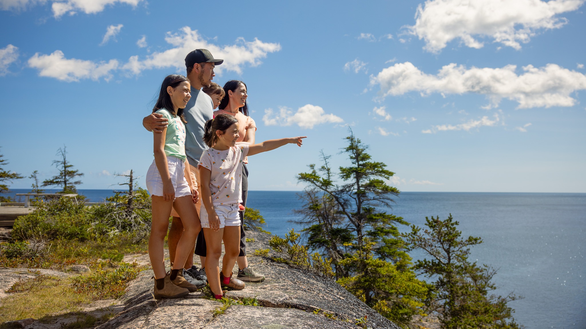
Discover the serene beauty of the Jack Pine Trail in Cape Breton Highlands National Park. This short loop trail winds through a unique stand of jack pine with sweeping views of the Atlantic coastline.
This trail can be easily accessed from the Cabot Trail at Black Brook day-use area, this hike delivers both drama and calm in one short outing.
Whether you’re hiking solo, with friends, or with someone special, it’s the perfect way to connect with nature and let the sea-air refresh your spirit.
Trailhead: Turn off the Cabot Trail at the Black Brook day use area and turn left to the upper parking lot.
Significant Feature: Atlantic coastline
Length: 2.3 km (1.4 mi) loop
Hiking Time: 1 hour
Elevation: 10–55 m (35–180 ft.)Interpretive loop. Short climbs. Some rocky, rugged sections.
Trail Rating: Easy – Family-friendly trail suitable for all visitors
GPS Co-ordinates for Trailhead (in decimal degrees):
Lat: 46.778569 Long: -60.332248
Park is open year-round but full visitor services are only available from mid-May until mid-October. A park pass is required all year for hiking or use of other services in the park; park entry fee applies. Check in at the Parks Canada visitor centres in Chéticamp (16 Visitor Centre Rd., situated on the west side of the park) or in Ingonish (37637 Cabot Trail, on the east side of the park) to obtain passes, information on visitor safety and any other information you may need, including a trail location map.
For your comfort and safety:
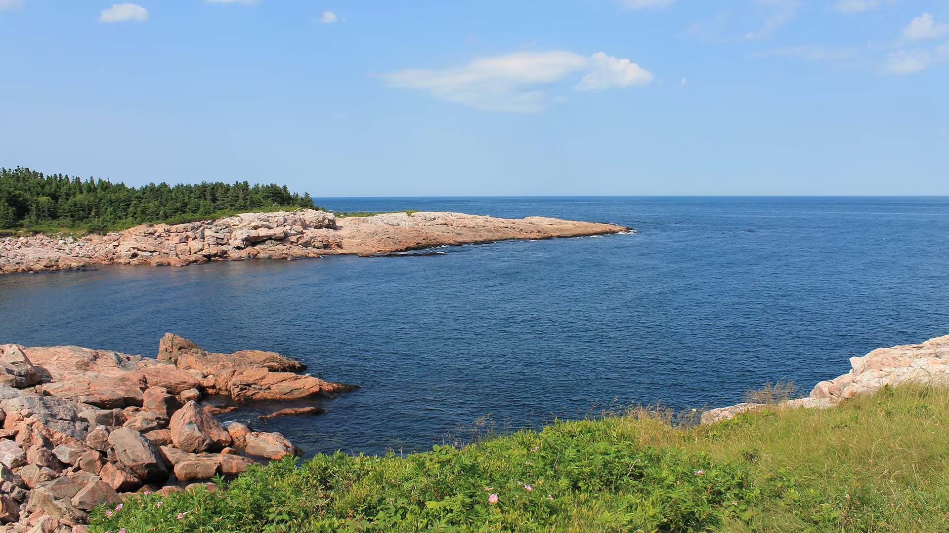
Although this trail is very short, a mere “leg stretcher”, it is quite fascinating. From this rocky granite headland jutting out into the sea, you can watch the ocean crash against the rocks or catch a glimpse of whales offshore as fishermen tend to their lobster traps, daring to come so close to the rocks. Notice the twisted stunted trees – known as “krummholz” – and the leathery leaves of the bayberry. Plants here have adapted to this windy, salt-sprayed coastal environment.
Caution: Keep away from rock edges during high wind and waves and always use caution around dark rocks.
Trailhead: Parking lot on the Cabot Trail
Significant Feature: Atlantic coastline, geology
Length: 0.2-km (0.1-mi) loop
Hiking Time: 10 minutes
Elevation: 10 m (35 ft.)
Trail Rating: Easy
GPS Co-ordinates for Trailhead (in decimal degrees):
Lat: 46.750779 Long: -60.324785
Park is open year-round but full visitor services are only available from mid-May until mid-October. A park pass is required all year for hiking or use of other services in the park. Check in at the Parks Canada Visitor Centres in Chéticamp (16 Visitor Centre Road, just off the Cabot Trail on the west side of the park) or in Ingonish (37637 Cabot Trail, on the east side of the park) to obtain passes, information on visitor safety and any other information you may need, including a trail location map.
For your comfort and safety:
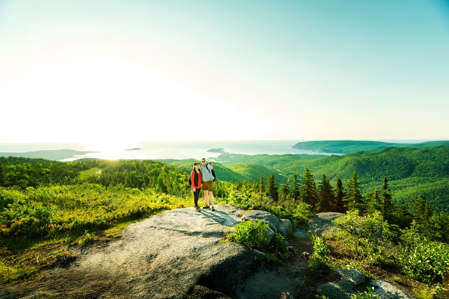
Climb through a lush forest to one of the park’s most breathtaking summits. At the top, expansive 360° views reveal the Clyburn Brook canyon, the Atlantic coastline from Cape Smokey to Ingonish, and the dramatic rocky face of Franey Mountain. Moose are often spotted along the way, adding to the wilderness experience.
The trail has been recently realigned to offer two scenic loops, both leading to unforgettable vistas. Access the trailhead at the end of Franey Road.
Length:
4.5 km / 2.7 mi (lower loop)
13 km / 8 mi (full loop)
Rating: Difficult — Longer trails with steep sections suitable for prepared visitors with trail experience.
Elevation:
17 – 170 m (55 – 557 ft) (lower loop)
17 – 423 m (55 – 1,387 ft) (full loop)
Time:
1.5 – 2 hours (lower loop)
5 – 6 hours (full loop)
GPS Co-ordinates for Trailhead (in decimal degrees): Lat: 46.660766, Long: -60.422683
Open from mid-May to mid-October. A park pass is required for hiking or use of other services in the park; park entry fee applies. Check in at the Parks Canada visitor centres in Chéticamp (16 Visitor Centre Rd., situated on the west side of the park) or in Ingonish (37637 Cabot Trail, on the east side of the park) to obtain passes, information on visitor safety and any other information you may need, including a trail location map.
For your comfort and safety:

Dalem Lake Provincial Park is on Cape Breton Island (3 km / 2 mi east of Boularderie East, 4 km/2.5 mi north off Highway 105 at St James Road). Dalem Lake is a popular park on a small lake with hardwood-shaded tables and a white sand beach.
There is a boat launch for non-motorized boats and a hiking trail 2.2 km (1.4 mi).
Park activities include sports fishing, kayaking, canoeing, hiking, bird watching and exploring the area’s wildlife.
Note: Infrastructure improvements in the park may cause delays or reduce services while we complete this important work. We appreciate your understanding at this time.
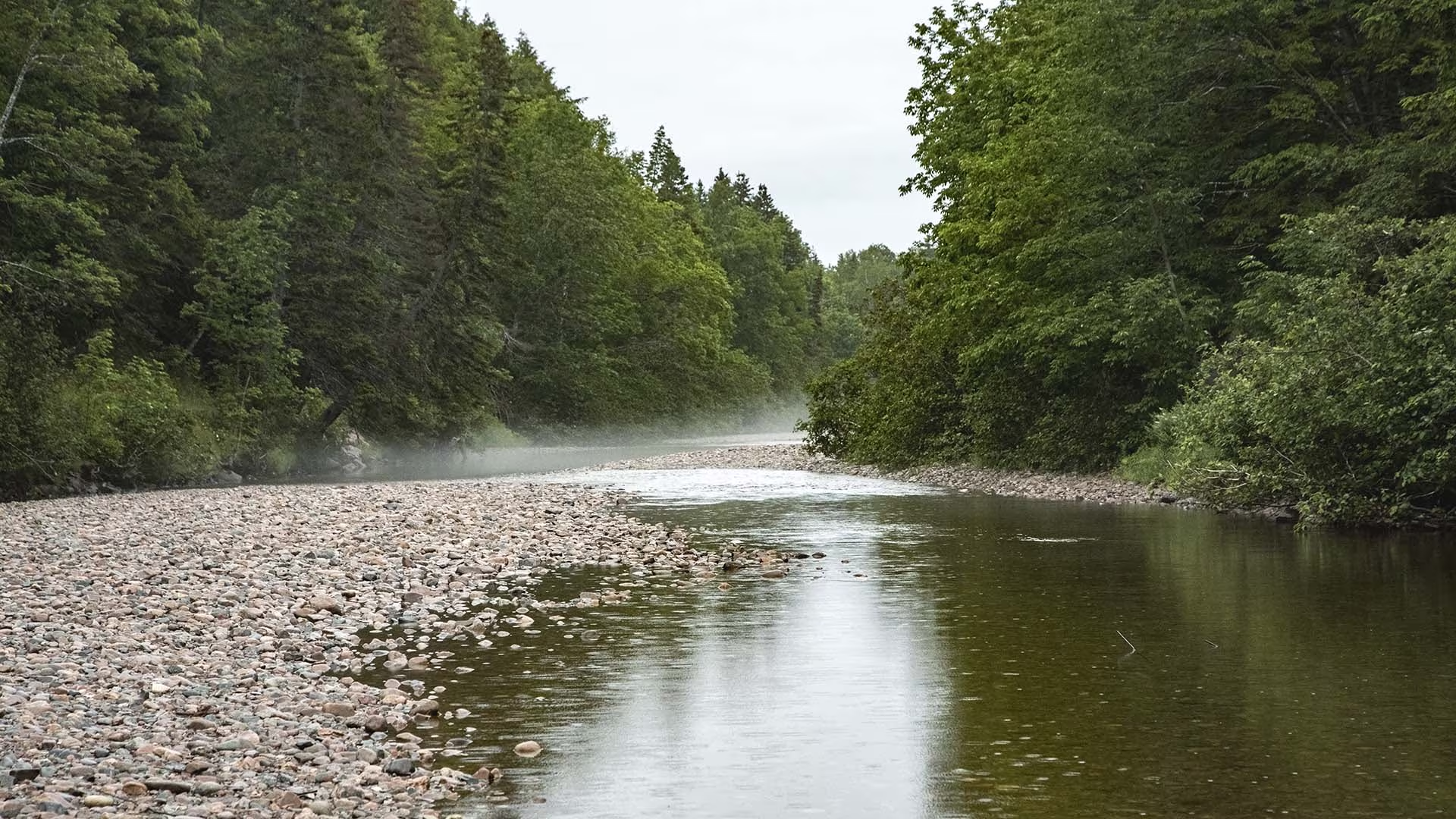
Hikers will marvel at the spectacular stands of hardwood trees, boulders bigger than cars, old abandoned beaver ponds, meadows, apple trees and even the remains of an old gold mine on the Clyburn Valley Trail. This trail follows the river for most of the way, but you can catch a glimpse of the Cape Breton Highlands Links, as it weaves its way up the valley. Feel humbled by the sheer rock face of Franey Mountain 425 m (1400 ft.) above. This level, easy trail is great for a fitness walk or relaxing stroll. Caution: Mountain bikes are permitted but there are rough sections starting about 2 km in. Not recommended for road bikes.
Trailhead: Just north of the Clyburn River bridge
Significant Feature: Hardwood valley, river, remains of old gold mine
Length: 8.10 km (5 mi) return
Hiking Time: 2–3 hours
Elevation: 5–50 m (15–165 ft.)Relatively level trail. Rough sections where trail floods. Not maintained beyond the gold mine.
Trail Rating: Moderate
GPS Co-ordinates for Trailhead (in decimal degrees): Lat: 46.660688 Long: -60.410384
Park is open year-round but full visitor services are only available from mid-May until mid-October. A park pass is required for hiking or use of other services in the park; park entry fee applies. Check in at the Parks Canada visitor centres in Chéticamp (16 Visitor Centre Rd., situated on the west side of the park) or in Ingonish (37637 Cabot Trail, on the east side of the park) to obtain passes, information on visitor safety and any other information you may need, including a trail location map.
For your comfort and safety:
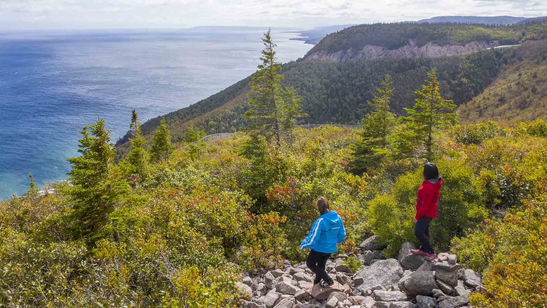
Cape Smokey Provincial Park is on top of Smokey Mountain along the Cabot Trail on Cape Breton Island.
With picnic tables and incredible look-off views, Cape Smokey is a popular rest stop for visitors to the Cabot Trail and the Cape Breton Highlands National Park area. The park has great bird watching and photography opportunities.
A trail, 5 km (3.1 mi) each way, offers even more spectacular views. Rest stops are provided along the way. Allow 4 hours for this hiking trail.
Note: Infrastructure improvements in the park may cause delays or reduce services while we complete this important work. We appreciate your understanding at this time.
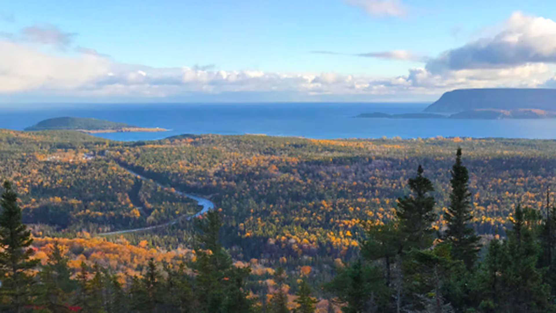
This switchback trail leads through a dense forest of softwood to the top of Broad Cove Mountain for exceptional views of the rocky Atlantic coast, with Middle Head and Cape Smokey in the distance. You climb 168 m over a distance of 1.6 km. Watch for moose along the way and eagles as they soar overhead. Relax at the top and enjoy the vistas below.
Trailhead: A small parking lot about 1/3 of the way in on Warren Lake Road
Significant Feature: Ocean, mountain scenery, fall colours
Length: 2.3 km (1.4 mi) return
Hiking Time: 1 hour
Elevation: 35–180 m (115–590 ft.)Short, steep climb. Rugged sections.
Trail Rating: Moderate
GPS Co-ordinates for Trailhead (in decimal degrees): Lat: 46.7155114 Long: -60.370568
Park is open year-round but full visitor services are only available from mid-May until mid-October. A park pass is required for hiking or use of other services in the park; park entry fee applies. Check in at the Parks Canada visitor centres in Chéticamp (16 Visitor Centre Rd., situated on the west side of the park) or in Ingonish (37637 Cabot Trail, on the east side of the park) to obtain passes, information on visitor safety and any other information you may need, including a trail location map.
For your comfort and safety:

In keeping with Parks Canada’s mandate to protect the natural environment, a boardwalk keeps your feet dry as you walk while preventing you from trampling the fragile life in this highland plateau bog. A self-guiding trail, signs explain life here – pitcher plants, delicate orchids, colourful dragonflies, green frogs and gigantic moose. The trail, as well as the privy at the trailhead, is wheelchair accessible. Ideal for baby strollers.
Trailhead: On the Cabot Trail at the top of French Mountain
Significant Feature: Boreal -Taiga, highland bog
Length: 0.5 km (0.3 mile) loop.
Hiking Time: 15 minutes.
Elevation: 410 m (1345 ft.)
GPS Co-ordinates for Trailhead (in decimal degrees):
Lat: 46.742037 Long: -60.827493
Park is open year-round but full visitor services are only available from mid-May until mid-October. A park pass is required all year for hiking or use of other services in the park. Check in at the Parks Canada Visitor Centres in Chéticamp (16 Visitor Centre Road, just off the Cabot Trail on the west side of the park) or in Ingonish (37637 Cabot Trail, on the east side of the park) to obtain passes, information on visitor safety and any other information you may need, including a trail location map.
For your comfort and safety: