Waterfall

North River Falls Provincial Park

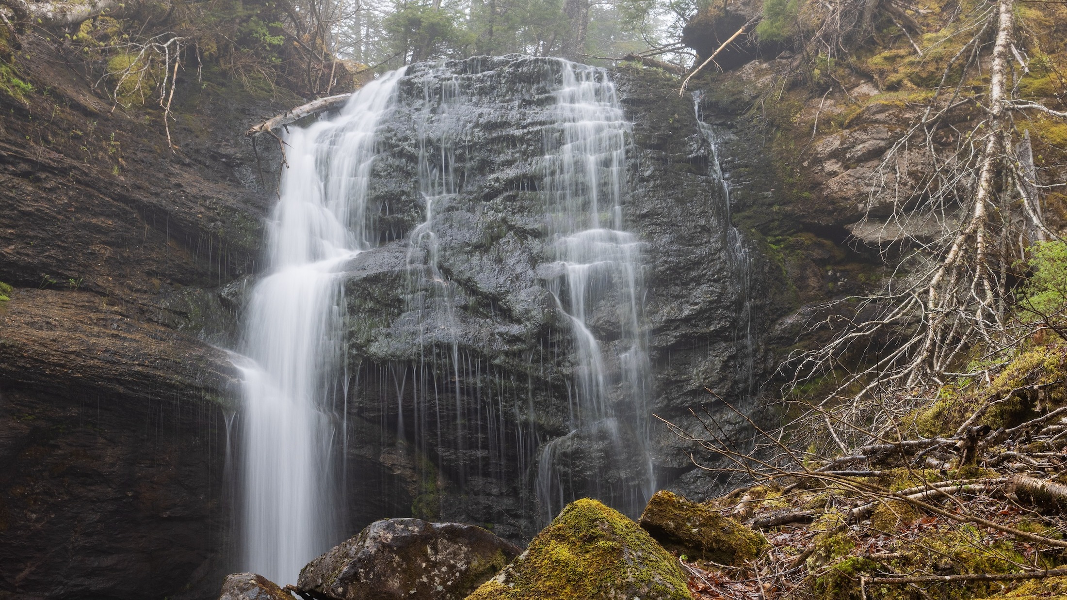
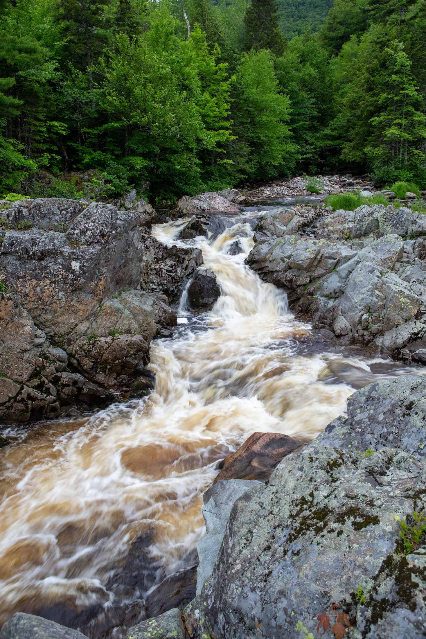
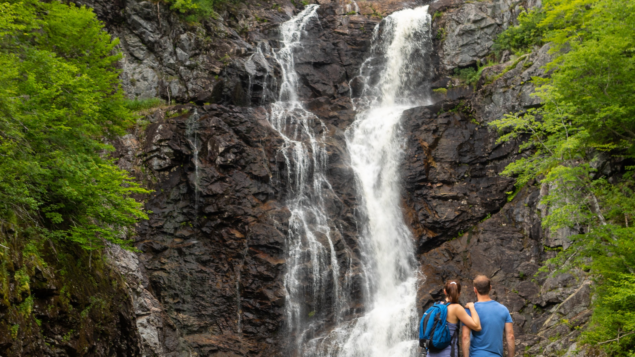
North River Falls

Height: 30 m

Distance (one way): 9 km

Difficulty: Moderate (distance)

Elevation: 680 m

Hiking Time: 6-8 hours

Cellphone Coverage: No

***Please note that this trail has experienced serious degradation and should only be traversed by experienced hikers***

Finding the Trailhead: On the Cabot Trail northeast of Baddeck, drive to North River Bridge. On the east side of the bridge across the North River, turn onto Oregon Road and drive to the end where you will see the entrance to the North River Falls Provincial Park and the trailhead. Park here.

Trailhead:  46°19’05.7"N 60°39’44.6"W Waterfall: 46°22’13.6"N 60°41’58.5"W

The Hike: The trailhead is marked with a sign where you parked. The trail at first is quite broad and well used. A little distance past the midpoint of the hike, the trail becomes a little more challenging. The valley narrows quite a lot, and the trail has been constructed in such a way that you need to need to cross several tributaries to the East Branch of the North River. Unfortunately, bridges on this section may be out of commission due to heavy ice flows in the spring. After a challenging hike, you are rewarded with a huge waterfall.

North River Wilderness Area straddles the North River valley, west of St. Anns Harbour, Victoria County. Expanded in 2015, this wilderness area protects more than 5,000 hectares of highland plateau, uplands and rugged river valley.

This area features outstanding examples of geological, fluvial and ecological processes. Mature-old deciduous forest ecosystems are found along the lower valley slopes, together with some hemlock. Pure hemlock stands also occur, such as the “Oregon site” (recognized by the International Biological Program), where tree ages range from regenerating seedlings to mature trees of over 190 years, with individuals reaching ages of over 250 year near the river. The higher elevation elevation areas support a more boreal forest of balsam fir and spruce, as well as wetlands and ponds.

Salmon in the North River are one of the few healthy and self-sustaining early-run sea winter stocks remaining in Nova Scotia. The river contains gravel spawning beds, deep holding pools, and the cold water conditions required by salmon.

The North River is well known as a regional recreation destination, especially for anglers and hikers.

Foot paths along North River have been used by generations of anglers travelling up and down the river to popular salmon pools. These trails meander beside the river for several kilometres, passing through fascinating river-side habitats and forests. They also provide scenic views of waterfalls, pools, and the steep slopes of the canyon ecosystem.

The well-known North River Falls Trail (9 km each way) follows the river valley to the base of North River Falls. At over 32 metres, this is reputed to be the highest falls in the province. Other hiking opportunities on unmanaged trail are found in the south west of the area, where a day hike to the top of Bald Mountain is rewarded with a stunning view of the surrounding wilderness area and countryside.

Guests at Ski Tuonela, near Goose Cove, can enjoy backcountry skiing within North River Wilderness Area, to the look-off at Bald Mountain.

The expanded wilderness area includes the small, former North River Provincial Park, including the trail head of the North River Falls hiking trail. This trail head is a major access point for angling and hiking and will continue to be maintained for public access and enjoyment.

The wilderness area extends to the western side of the forest access road from Oregon to the highlands (off-highway vehicle trail #814). This road can be used to access the wilderness area. Road conditions may be poor.

About 600 m of electrical transmission line passes through the southeastern part of the wilderness area. Nova Scotia Power (NSPI) retains the authority to operate and maintain this transmission line.
Ariel

Neils Brook Beach Trail

Take a peaceful walk through soft boreal forest to the hidden-gem of Neils Brook Beach.

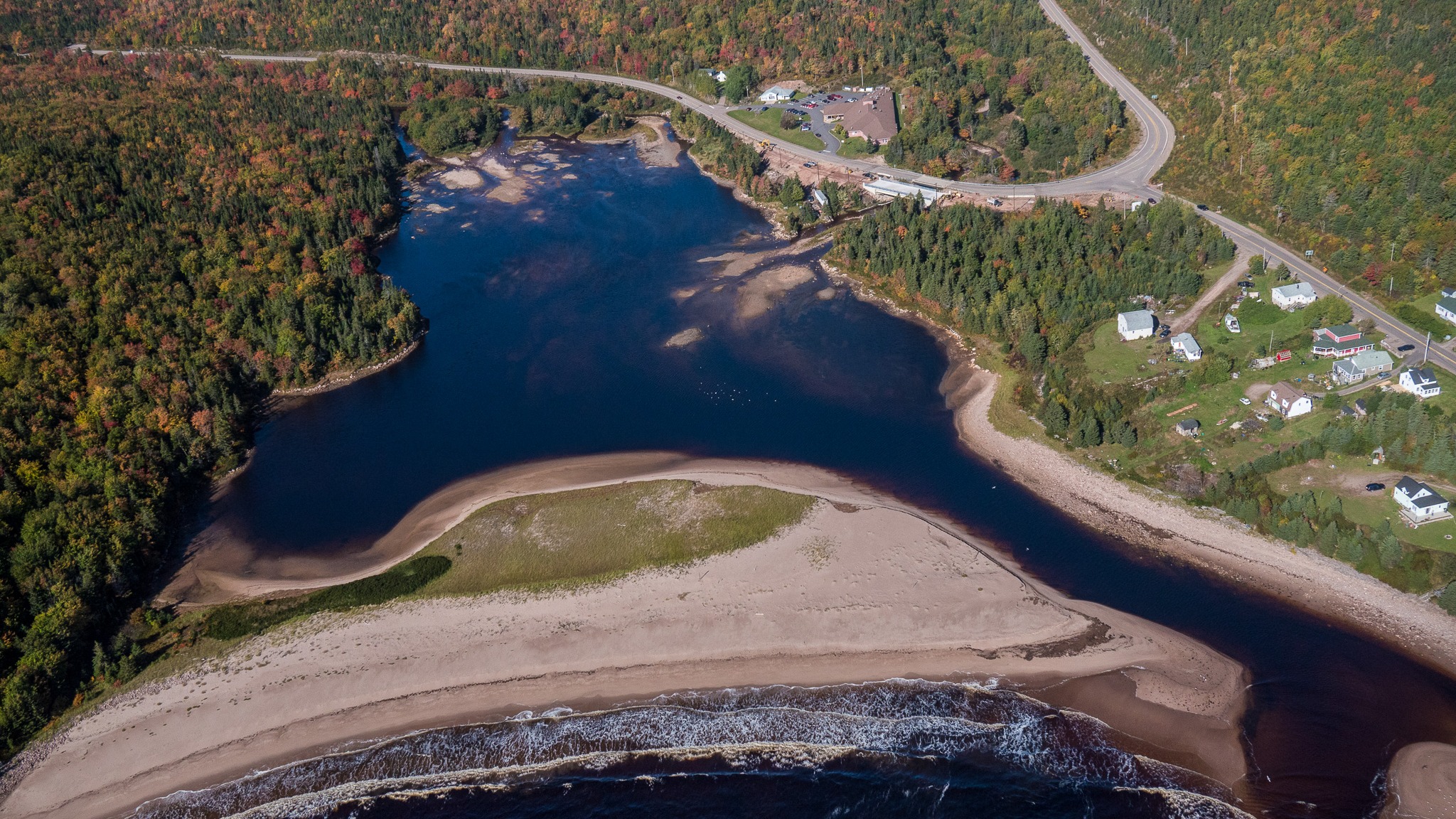
This trail winds to the lesser-explored end of Neil’s Harbour Beach and opens onto an estuary alive with nature and the dramatic meeting of forest and Atlantic coast. This stroll offers the comfort of sheltering woods and the reward of ocean breeze, making it ideal for families, casual walkers, or anyone seeking a tranquil nature escape
Length: 2.5 km (1.5 mi) return
Rating: Easy – Family-friendly and suitable for all visitors
Elevation: 0 – 45 m (0 – 150 ft)
Time: 45 – 50 minutes
Trailhead Coordinates: 46.807398, -60.344756
Trail

Middle Head Trail

Have you ever dreamed of hiking a trail that feels like it stretches right into the sea? Middle Head in Cape Breton Highlands National Park does exactly that!

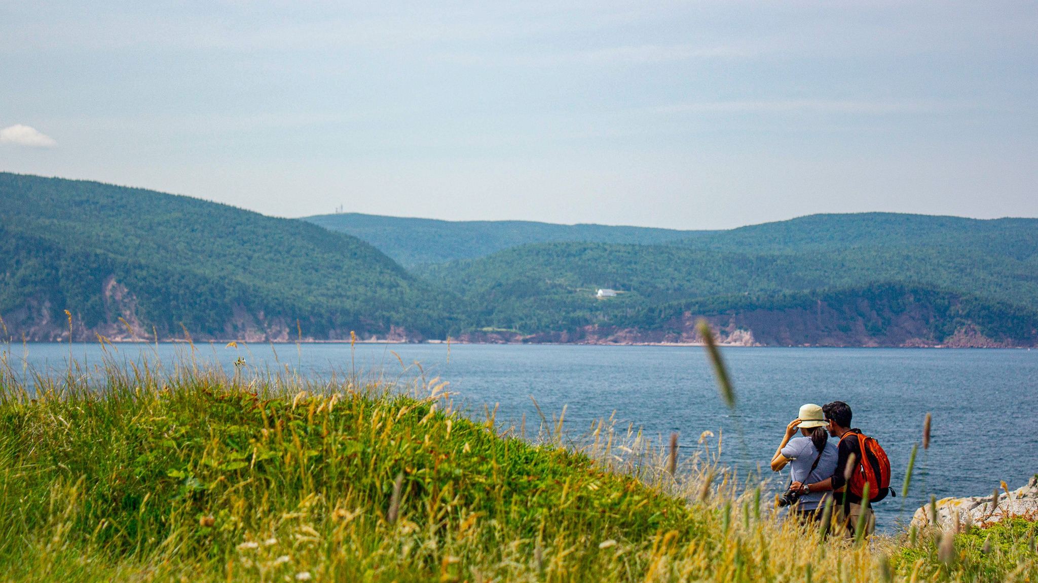
This 5.3 km (return) trail follows a long, narrow peninsula separating two sparkling ocean bays and ends on dramatic cliffs with sweeping views of the Atlantic, Cape Smokey, and Ingonish Island.

Along the way, watch for seabirds, seals, whales, eagles, and even fishing boats heading out to sea in early summer.

Discover brand-new interpretive panels that share Mi’kmaq stories and connections to this land and sea, along with insights into the trail’s rich natural and cultural heritage.

Trailhead: Behind Keltic Lodge, Ingonish

(civic address: 383 Keltic In Road, Ingonish)

Lat: 46.655391 Long: -60.372142

Distance: 5.3 km (return)

Elevation: 10 – 55 m (32 – 180 ft)

Time: 1.5–2 hours

Rating: Easy

Park is open year-round but full visitor services are only available from mid-May until mid-October. A park pass is required for hiking or use of other services in the park; park entry fee applies. Check in at the Parks Canada visitor centres in Chéticamp (16 Visitor Centre Rd., situated on the west side of the park) or in Ingonish (37637 Cabot Trail, on the east side of the park) to obtain passes, information on visitor safety and any other information you may need, including a trail location map.

For your comfort and safety:

  • Do not approach, disturb or feed wild animals.
  • Take along appropriate clothing – rapid weather changes often occur on the plateau or along the coast.
  • Carry water with you, especially for longer trails, climbs or open barrens.
  • Bring insect repellent as black flies and mosquitoes are common all summer.
  • Mountain bikes are permitted only where indicated, for public safety and protection of the environment.
  • Stay on designated trails and boardwalks to protect fragile vegetation.
  • Do not throw food or scraps along the trails or roads.
  • Read "Keep it Wild, Keep it Safe" brochure, available at park visitor centres and on the Parks Canada website.
  • Recreational drone use is prohibited within the national park for the safety of wildlife and other visitors.

Mica Hill Trail

This breathtaking trail winds through Acadian mixed forest and stunted taiga as it climbs to the windswept plateau. It offers 360° views spanning the barrens, the dramatic Aspy fault, coastal villages far below and mountains reaching the most northern tip of Cape Breton. Continue along a narrower footpath to Mica Hill’s remarkable displays of mica glittering amongst the quartz boulders. Explore a small side loop past Paquette Lake on your return.

Trailhead: Take the Paquette Lake road and park at the lake 

Significant Feature: Highlands taiga, mica-quartz pegmatite
Length: 7.9 km (4.9 mi) return; 8.4 km (5.2 mi) with loop

Hiking Time: 3–4 hours

Elevation: 260–400 m (850–1345 ft.) Gradual climb.
Trail Rating: Moderate

GPS Co-ordinates for Trailhead (in decimal degrees): Lat: 46.834629 Long: -60.434124

Open from mid-May to mid-October. A park pass is required for hiking or use of other services in the park; park entry fee applies. Check in at the Parks Canada visitor centres in Chéticamp (16 Visitor Centre Rd., situated on the west side of the park) or in Ingonish (37637 Cabot Trail, on the east side of the park) to obtain passes, information on visitor safety and any other information you may need, including a trail location map.

For your comfort and safety:

  • Do not approach, disturb or feed wild animals.
  • Take along appropriate clothing – rapid weather changes often occur on the plateau or along the coast.
  • Carry water with you, especially for longer trails, climbs or open barrens.
  • Bring insect repellent as black flies and mosquitoes are common all summer.
  • Mountain bikes are permitted only where indicated, for public safety and protection of the environment.
  • Stay on designated trails and boardwalks to protect fragile vegetation.
  • Do not throw food or scraps along the trails or roads.
  • Read "Keep it Wild, Keep it Safe" brochure, available at park visitor centres and on the Parks Canada website.
  • Recreational drone use is prohibited within the national park for the safety of wildlife and other visitors.
Waterfall

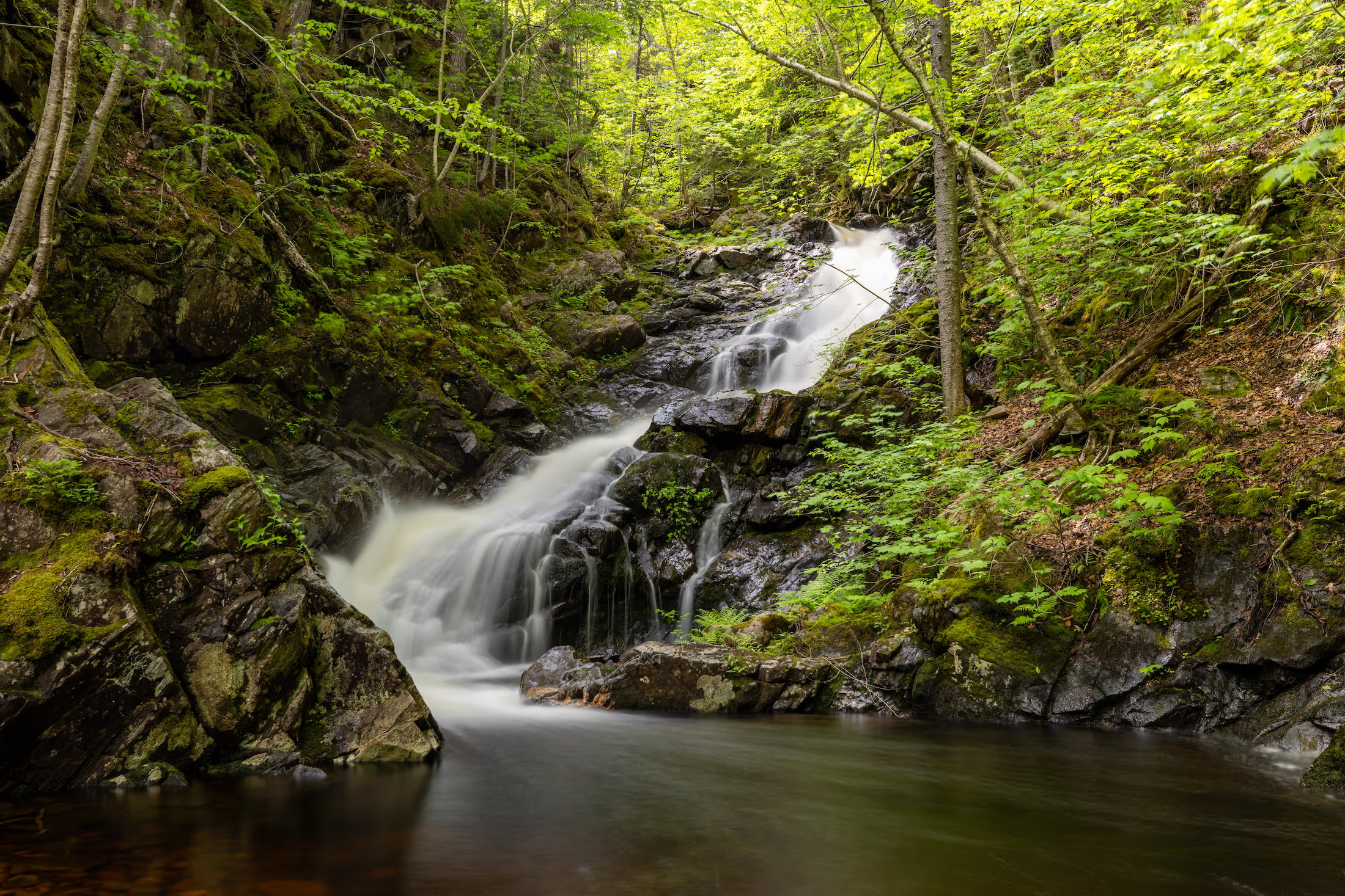
McNaughton’s Falls

Waterfall Season Select!

McNaughton’s Falls, Wagmatcook First Nation
Height: 15 m
Distance (one way): 4 km
Difficulty: Moderate 
Elevation: 300 m
Hiking Time: 2 hours
Cellphone Coverage: Yes (partial)
Finding the Trailhead: From the Trans-Canada Highway (Highway 105) between St. Patrick’s Channel and Nyanza, turn onto Humes Rear Road, located 1 km southwest of the bridge over Middle River. Drive on the Humes Rear Road for 750 m and park near the school and baseball field.
Trailhead: 46º04’25.7”N, 60º55’19.0”W Waterfall: 46°04’36.4"N 60°57’45.7"W
The Hike: From where you parked, start walking on the continuation of the Humes Rear Road. There is a loss of elevation at first to a large wooden bridge over MacNaughtons Brook. After the first bridge, you cross another smaller brook and then walk uphill to an intersection after walking 1.5 km from your car. Turn to the right at the intersection and hike uphill for approximately 2 km until you see flagging on the right side of the trail. Turn right and follow the footpath downhill for another 50m or so. There is a small viewing platform for this waterfall.
Waterfall

Mary Ann Falls

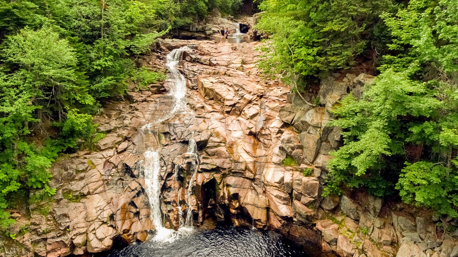
Cape Breton Highlands National Park invites you to explore one of its newest hiking experiences, following a section of the original Cabot Trail route from before its 1950s realignment. Now designated exclusively for hiking, this revitalized trail offers a journey through Acadian forest to the breathtaking Mary Ann Falls, a cascading waterfall tucked deep within the park.

At the end of the trail, descend a sturdy staircase to reach the base of the falls, where cool waters and scenic surroundings provide a rewarding place to rest. Along the way, hikers can discover remnants of a historic iron bridge that once crossed Mary Ann Brook, adding a meaningful connection to the area’s past.
This moderate 13.9 km (8.6 mi) return hike features long and steep sections and is best suited for visitors with hiking experience who are prepared with proper footwear, water, and supplies. The trail includes uneven terrain in places and typically takes 5 to 6 hours to complete.
While Mary Ann Falls is known as a historic swimming spot, its remote location means visitors should use caution, as emergency services are not readily accessible.
Distance: 13.9 km return
Time: 5 to 6 hours
Elevation: 8 to 166 m (26 to 545 ft)
Trailhead: 46°42’47.1"N 60°21’53.8"W
Waterfall:46°45’42.9"N 60°21’47.5"W

MacIntosh Brook Falls Trail

Enjoy a family-friendly, fairly level stroll along a babbling brook and through a mature hardwood forest with a picturesque waterfall at the end. Be serenaded by the songs of forest birds along this relaxing trail. You can even charge your vehicle at the EV charging stations near the trailhead while you hike. 

Trailhead: MacIntosh Brook Campground and day use area 

Significant Feature: Old growth Acadian forest, waterfall

Length: 1.7 km (1.1 mi) return

Hiking Time: 30–45 min

Elevation: 30–65 m (100–215 ft.)Suitable for most skill levels. Uneven trail surface (exposed roots) in some places.
Trail Rating: Easy

Trailhead: 46°48’43.4"N 60°46’04.3"W

Waterfall: 46°48’29.8"N 60°45’43.8"W

Open from mid-May to mid-October. A park pass is required for hiking or use of other services in the park; park entry fee applies. Check in at the Parks Canada visitor centres in Chéticamp (16 Visitor Centre Rd., situated on the west side of the park) or in Ingonish (37637 Cabot Trail, on the east side of the park) to obtain passes, information on visitor safety and any other information you may need, including a trail location map.

For your comfort and safety:

  •  Do not approach, disturb or feed wild animals.
  •  Take along appropriate clothing – rapid weather changes often occur on the plateau or along the coast.
  •  Carry water with you, especially for longer trails, climbs or open barrens.
  •  Bring insect repellent as black flies and mosquitoes are common all summer.
  •  Mountain bikes are permitted only where indicated, for public safety and protection of the environment.
  •  Stay on designated trails and boardwalks to protect fragile vegetation.
  •  Do not throw food or scraps along the trails or roads.
  •  Read "Keep it Wild, Keep it Safe" brochure, available at park visitor centres and on the Parks Canada website.
  •  Recreational drone use is prohibited within the national park for the safety of wildlife and other visitors.

Lowland Cove Loop – Meat Cove

Length: 16 km (10 mi) return
Hiking Time: 5+hr
Type of Trail: natural surface, compacted earth
Uses (no snow): walking, biking, horseback riding, ATVs
Uses (snow): cross-country skiing, snowmobiling, snowshoeing
Facilities: camping, tables, water, outhouses (at trailhead only)
Dog Use: off-leash permitted

Gov’t Topo Map: 11N02 (Cape St. Lawrence)
Rating (1-5): 4 [distance, elevation change]

Trailhead GPS: N 47° 01” 35.2’ W 60° 33” 33.3’

Access Information: Turn off the Cabot Trail at Cape North Village onto the Bay St. Lawrence Road. At 15.5 km (9.75 mi), turn sharply left onto the Meat Cove Road, which is paved for the first 6 km (3.75 mi), but for the last 7 km (4.25 mi) is narrow dirt road. Follow it to the Meat Cove Campground, and park there.

Introduction: If Nova Scotia has any community that looks like an alpine village, it is Meat Cove. Situated near the extreme northern tip of Cape Breton Island, the road literally ends here, the dirt track from Bay St. Lawrence hugging steep hillsides above sheer coastal cliffs until it drops into the deep ravine carved by Meat Cove Brook. This appears to be a trail at the end of the earth, and is as remote as it seems.

Meat Cove earned its name in the late 1700s, when the stench of slaughtered moose caused complaints from passing ships. There are numerous hiking options available near the community; the one described was profiled originally in Walk Cape Breton, published in 1975. The Cape St. Lawrence-Lowland Cove loop can be a challenging one-day trek, or undertaken as a more relaxed two-day campout.

Cautionary Notes: Wildlife, rugged terrain, hunting is permitted in season. No cell phone reception.

Ratings are designated from 1 to 5 indicating suitability for all fitness and experience levels, with 5 being suitable only for experienced and very fit outdoor people. Novices should only choose level 1 and 2 hikes, and work their way up. Level 4 and 5 hikes have indicators associated with their ratings.

Lower North River Falls

Waterfall Season Select!

Lower North River Falls

Height: 5 m

Distance (one way):  approximately 1 km

Difficulty: easy

Hiking Time: 1 hour

Cellphone Coverage: No

Finding the Trailhead: On the Cabot Trail northeast of Baddeck, drive to North River Bridge. On the east side of the bridge across the North River, turn onto Oregon Road and drive to the end where you will see the entrance to the North River Falls Provincial Park and the trailhead. Park here. The trailhead is on the left side (south side) of the parking lot.

Trailhead: 46°19’05.4"N 60°39’45.0"W  Waterfall: 46°18’59.9"N 60°40’15.5"W

The Hike: From where you park look for the trail on the left (south) of the parking lot. The trail begins with a gentle descent to the river and then follows the river for a few hundred metres. The trail has had some washouts closer to the waterfalls but is still easily traversable. Keep an eye on the trail as it can be easy to miss, especially on your way out.

Lone Shieling Trail

Featuring 400-year-old sugar maple trees, the Grande Anse Valley is one of the largest old-growth hardwood forests in the Maritimes. As one of the most protected areas of the park, access is restricted to this short trail. A replica of a Scottish crofter’s hut is found at the beginning of the trail – find out why it’s here. Keep an eye out for wildlife – moose like it here too.

Trailhead: On the Cabot Trail at the base of North Mountain 

Significant Feature: Old-growth Acadian forest, Scottish heritage

Length: 0.6 km (0.4 mi) loop

Hiking Time: 15 minutes

Elevation: 70 m (230 ft.)Interactive loop suitable for most skill levels.

Trail Rating: Easy

GPS Co-ordinates for Trailhead (in decimal degrees):Lat: 46.809804 Long: -60.733019

Park is open year-round but full visitor services are only available from mid-May until mid-October.  A park pass is required all year for hiking or use of other services in the park.  Check in at the Parks Canada Visitor Centres in Chéticamp (16 Visitor Centre Road, just off the Cabot Trail on the west side of the park) or in Ingonish (37637 Cabot Trail, on the east side of the park) to obtain passes, information on visitor safety and any other information you may need, including a trail location map.

For your comfort and safety:

  • Do not approach, disturb or feed wild animals. 
  • Take along appropriate clothing 
  • Rapid weather changes often occur on the plateau or along the coast.
  • Carry water with you, especially for longer trails, climbs or open barrens.
  • Bring insect repellent as black flies and mosquitoes are common all summer.
  • Mountain bikes are permitted only where indicated, for public safety and protection of the environment.
  • Stay on designated trails and boardwalks to protect fragile vegetation.
  • Do not throw food or scraps along the trails or roads.
  • Read "Keep it Wild, Keep it Safe" brochure, available at park visitor centres and on the Parks Canada website.
  • Recreational drone use is prohibited within the national park for the safety of wildlife and other visitors.