Enjoy this short (less than 2 km) trail to one of the best and most hidden views on the Island!
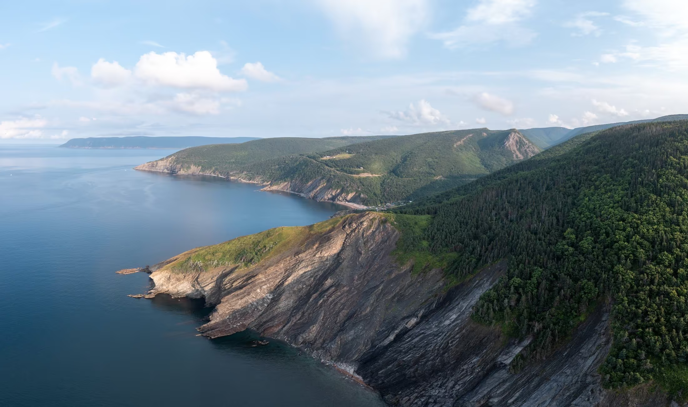
Enjoy this short (less than 2 km) trail to one of the best and most hidden views on the Island!
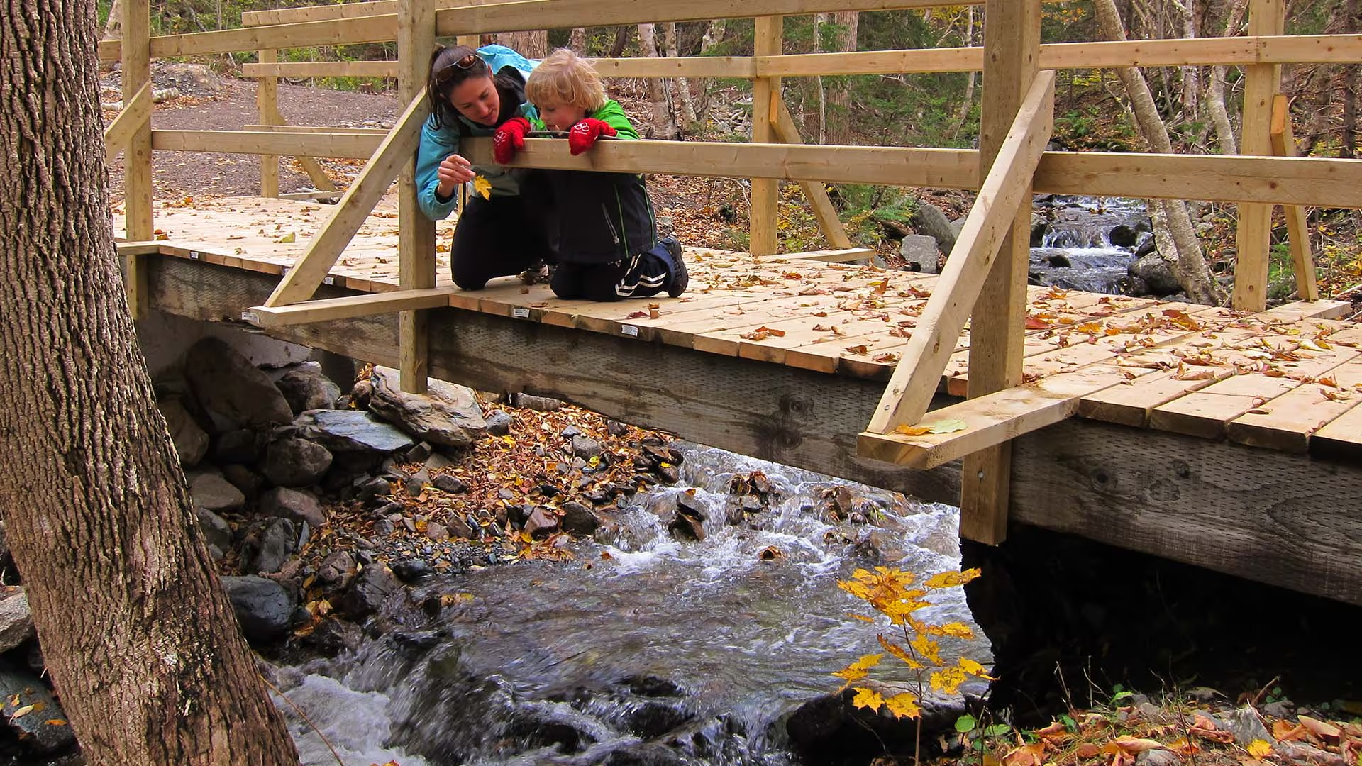
Follow the route of the old Cabot Trail from Trout Brook as it gently climbs to a ridge midway up Jerome Mountain, offering views of the Atlantic along the entire length of this trail. Traces of Acadian history abound, with foundations of an old school and of former residents’ houses along the trail. The old wharf at La Bloc is also visible at various points on the journey. Your efforts will be rewarded at the final look-off featuring spectacular views of Presqu’île and the Gulf of St. Lawrence. An exhibit at the look-off provides further information on the families who used to live here.
Trailhead: On the Cabot Trail across from Trout Brook
Significant Features: Acadian history, ocean view
Length: 8.8 km (5.5 mi) return
Time: 2–3 hours
Elevation: 40–110 m (130–360 ft)
Long, gentle climb. Suitable for most skill levels.
Trail Rating: Easy
GPS Co-ordinates for Trailhead (in decimal degrees): Lat: 46.714762 Long: -60.933245
Park is open year-round but full visitor services are only available from mid-May until mid-October. A park pass is required for hiking or use of other services in the park; park entry fee applies. Check in at the Parks Canada visitor centres in Chéticamp (16 Visitor Centre Rd., situated on the west side of the park) or in Ingonish (37637 Cabot Trail, on the east side of the park) to obtain passes, information on visitor safety and any other information you may need, including a trail location map.
For your comfort and safety:
– Do not approach, disturb or feed wild animals.
– Take along appropriate clothing – rapid weather changes often occur on the plateau or along the coast.
– Carry water with you, especially for longer trails, climbs or open barrens.
– Bring insect repellent as black flies and mosquitoes are common all summer.
– Mountain bikes are permitted only where indicated, for public safety and protection of the environment.
– Stay on designated trails and boardwalks to protect fragile vegetation.
– Do not throw food or scraps along the trails or roads.
– Read "Keep it Wild, Keep it Safe" brochure, available at park visitor centres and on the Parks Canada website.- Recreational drone use is prohibited within the national park for the safety of wildlife and other visitors.
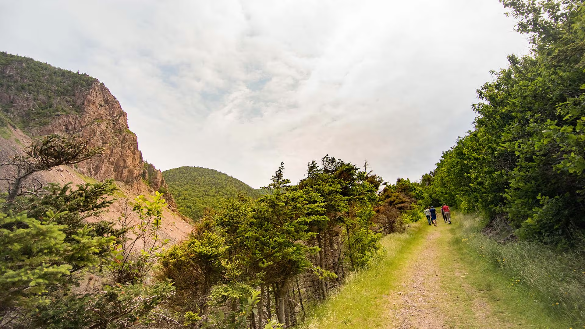
The trail explores a spruce forest, old fields and foundation ruins on a “buttereau” (small hill) overlooking the Chéticamp River and Gulf of St. Lawrence. Wildflowers, trees and shrubs have invaded these pastures that were once tilled by the Acadian pioneers, making an ideal spot for birds and small mammals. Plaques commemorate former Acadian homesteads. Continue onto the connecting Chemin du Buttereau Trail to add 4.6 km to your hike.
Trailhead: On the Cabot Trail opposite the Grande Falaise picnic area.
Significant Feature: Acadian history, ocean
Length: 1.6 km (1 mi) loop.
Hiking Time: 30–45 minutes
Elevation: 10–55 m (35–180 ft.)Interpretive loop. Suitable for most skill levels. Short climbs.
Trail Rating: Easy
GPS Co-ordinates for Trailhead (in decimal degrees):
Lat: 46.676389 Long: -60.957946
Park is open year-round but full visitor services are only available from mid-May until mid-October.
Open from mid-May to mid-October. A park pass is required for hiking or use of other services in the park; park entry fee applies. Check in at the Parks Canada visitor centres in Chéticamp (16 Visitor Centre Rd., situated on the west side of the park) or in Ingonish (37637 Cabot Trail, on the east side of the park) to obtain passes, information on visitor safety and any other information you may need, including a trail location map.
For your comfort and safety:
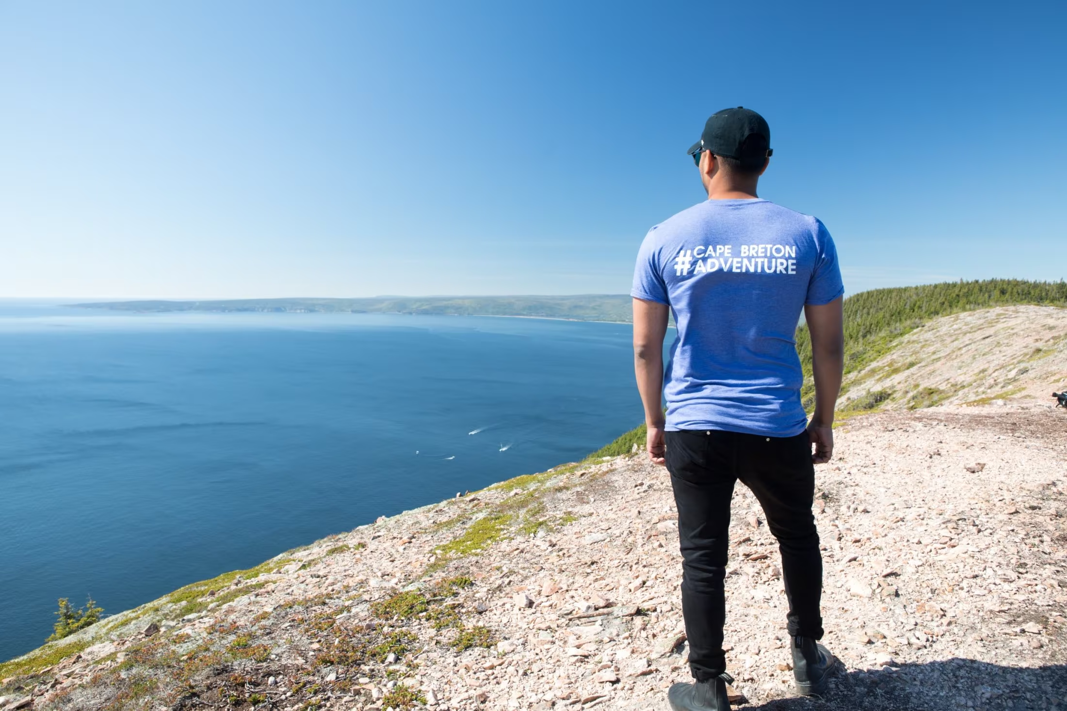
Kauzmann Trail is a 3.7 kilometer lightly trafficked out and back trail located near Bay Saint Lawrence East, Nova Scotia, Canada that features a river. The trail is good for all skill levels and primarily used for hiking, walking, and nature trips.
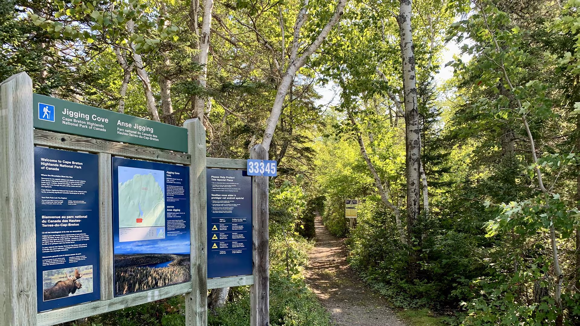
Birders and other nature lovers will enjoy the varied wildlife on this short relaxing trail, following the shoreline of a small man-made lake. The trail name comes from a nearby cove, where fishermen used to jig for cod.
Trailhead: Parking lot on the Cabot Trail
Significant Feature: Acadian forest, lake
Length: 2.15 km (1.6 mi) loop
Hiking Time: 2–3 hours
Elevation: 0–65 m (0–215 ft.)
Trail Rating: Easy – Level trail. Narrow with wet sections.
GPS Co-ordinates for Trailhead (in decimal degrees): Lat: 46.787754 Long: -60.346626
Park is open year-round but full visitor services are only available from mid-May until mid-October. A park pass is required all year for hiking or use of other services in the park; park entry fee applies. Check in at the Parks Canada visitor centres in Chéticamp (16 Visitor Centre Rd., situated on the west side of the park) or in Ingonish (37637 Cabot Trail, on the east side of the park) to obtain passes, information on visitor safety and any other information you may need, including a trail location map.
For your comfort and safety:
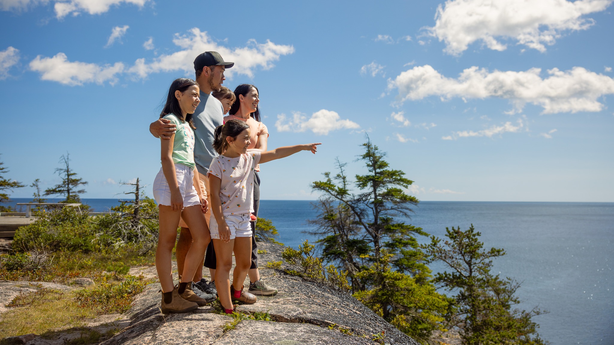
Discover the serene beauty of the Jack Pine Trail in Cape Breton Highlands National Park. This short loop trail winds through a unique stand of jack pine with sweeping views of the Atlantic coastline.
This trail can be easily accessed from the Cabot Trail at Black Brook day-use area, this hike delivers both drama and calm in one short outing.
Whether you’re hiking solo, with friends, or with someone special, it’s the perfect way to connect with nature and let the sea-air refresh your spirit.
Trailhead: Turn off the Cabot Trail at the Black Brook day use area and turn left to the upper parking lot.
Significant Feature: Atlantic coastline
Length: 2.3 km (1.4 mi) loop
Hiking Time: 1 hour
Elevation: 10–55 m (35–180 ft.)Interpretive loop. Short climbs. Some rocky, rugged sections.
Trail Rating: Easy – Family-friendly trail suitable for all visitors
GPS Co-ordinates for Trailhead (in decimal degrees):
Lat: 46.778569 Long: -60.332248
Park is open year-round but full visitor services are only available from mid-May until mid-October. A park pass is required all year for hiking or use of other services in the park; park entry fee applies. Check in at the Parks Canada visitor centres in Chéticamp (16 Visitor Centre Rd., situated on the west side of the park) or in Ingonish (37637 Cabot Trail, on the east side of the park) to obtain passes, information on visitor safety and any other information you may need, including a trail location map.
For your comfort and safety:
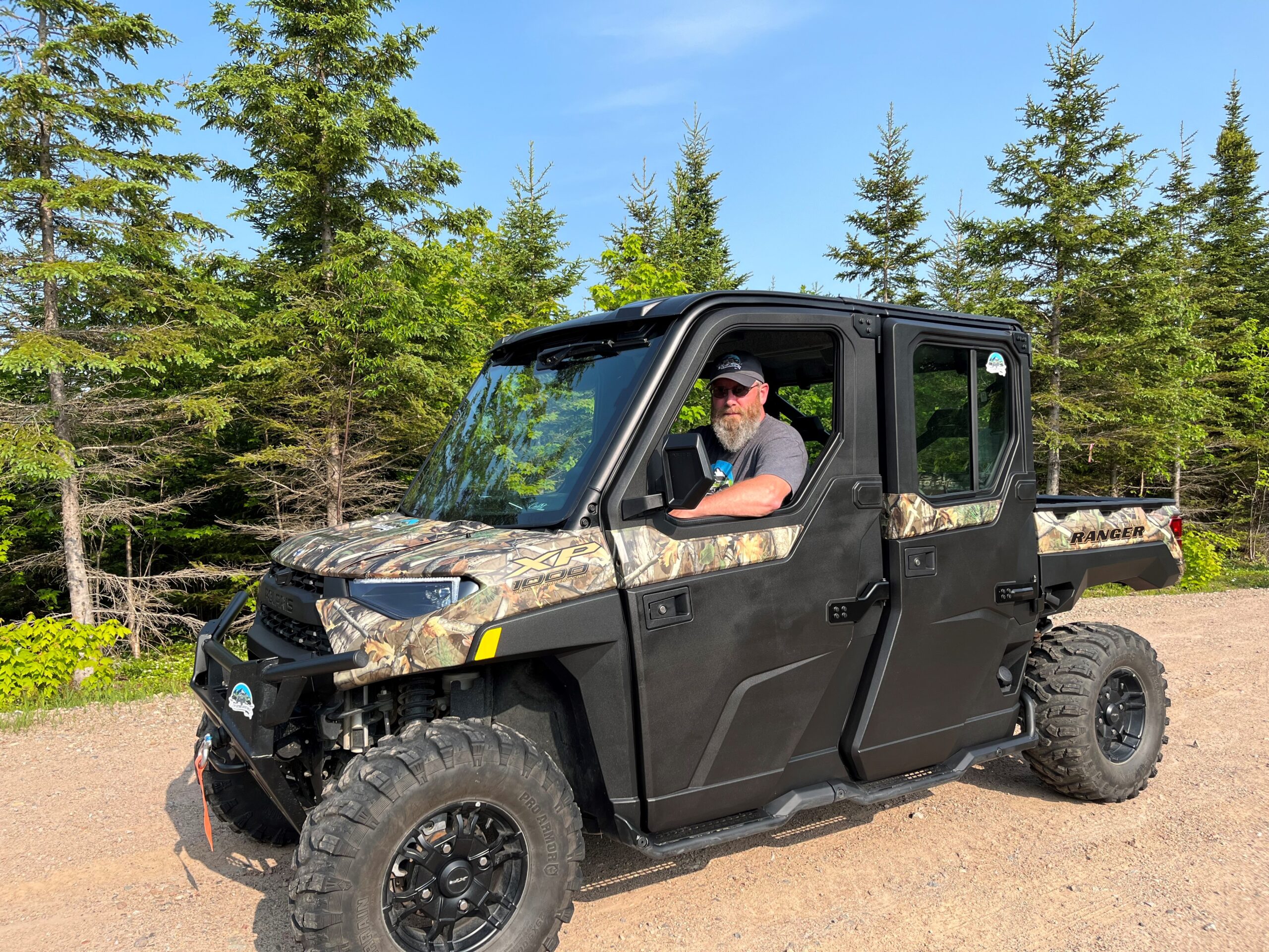
2-Hour TNT Highlands Trail Tour
Answer the call of the Cape Breton Highlands on this exciting guided side-by-side adventure. Join our experienced guide as you explore a network of scenic wilderness roads and trails, venturing deep into the Highlands and away from the crowds.
Perfect for groups of up to 5 passengers, this tour takes you through rugged forest landscapes, offering opportunities to spot local wildlife, discover hidden viewpoints, and experience the natural beauty that makes Cape Breton so special. Along the way, you’ll enjoy plenty of photo opportunities and unique perspectives of the surrounding landscape.
We will have you outfitted and ready to ride before setting off on an unforgettable journey through the Highlands. Travel along mountain trails and backcountry roads, immerse yourself in nature, take in scenic lookoffs, and create lasting memories before returning to our base camp.
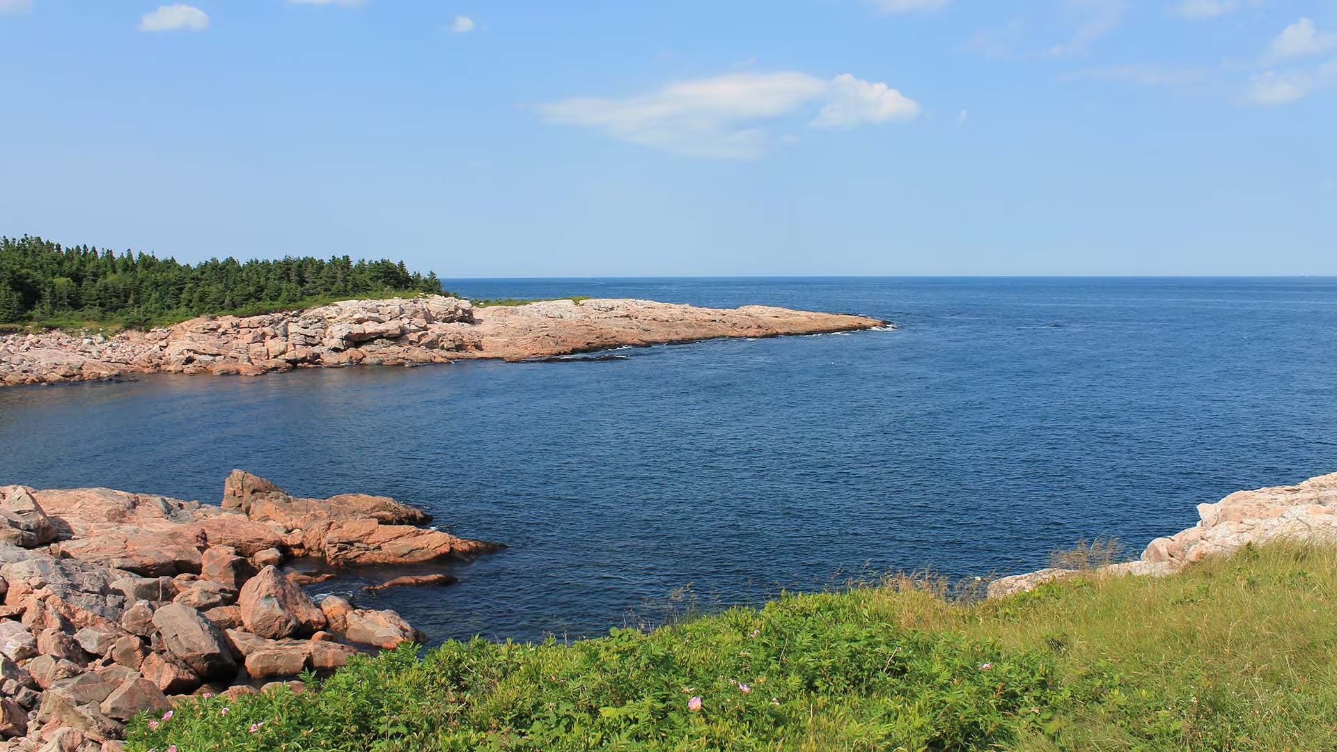
Although this trail is very short, a mere “leg stretcher”, it is quite fascinating. From this rocky granite headland jutting out into the sea, you can watch the ocean crash against the rocks or catch a glimpse of whales offshore as fishermen tend to their lobster traps, daring to come so close to the rocks. Notice the twisted stunted trees – known as “krummholz” – and the leathery leaves of the bayberry. Plants here have adapted to this windy, salt-sprayed coastal environment.
Caution: Keep away from rock edges during high wind and waves and always use caution around dark rocks.
Trailhead: Parking lot on the Cabot Trail
Significant Feature: Atlantic coastline, geology
Length: 0.2-km (0.1-mi) loop
Hiking Time: 10 minutes
Elevation: 10 m (35 ft.)
Trail Rating: Easy
GPS Co-ordinates for Trailhead (in decimal degrees):
Lat: 46.750779 Long: -60.324785
Park is open year-round but full visitor services are only available from mid-May until mid-October. A park pass is required all year for hiking or use of other services in the park. Check in at the Parks Canada Visitor Centres in Chéticamp (16 Visitor Centre Road, just off the Cabot Trail on the west side of the park) or in Ingonish (37637 Cabot Trail, on the east side of the park) to obtain passes, information on visitor safety and any other information you may need, including a trail location map.
For your comfort and safety:
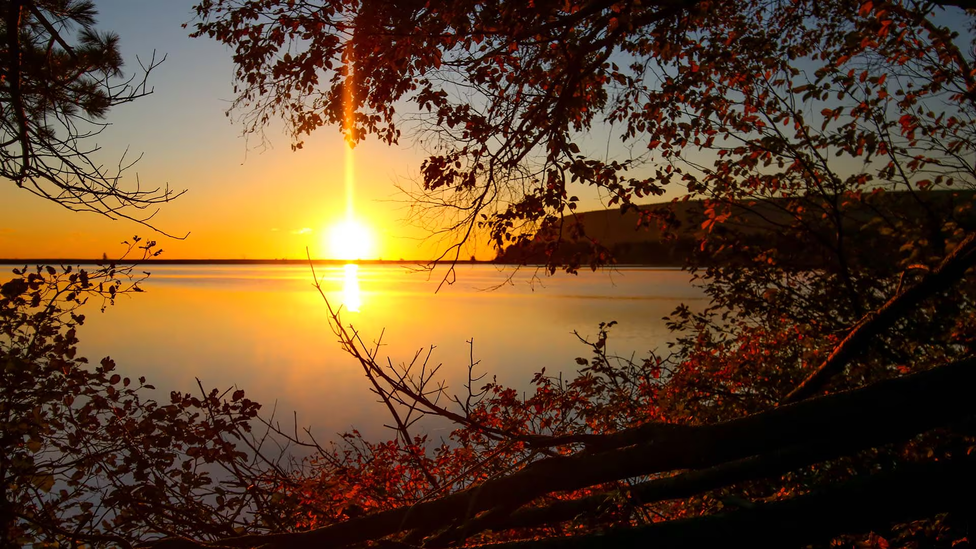
Starting next to the ocean, this short, level trail follows the shoreline of a small lake that was once an ocean bay. A side trail (1.6 km return) follows the cobble barrier beach which separates the lake from the Atlantic Ocean. Hear the unique song of the loon, or catch a glimpse of one from the viewing deck. Complete your stroll with a dip in the ocean or in Freshwater Lake itself. Bicycles are permitted on this trail but pedestrians have the right of way.
Trailhead: The Ingonish Beach Day Use Area parking lot Significant Feature: Atlantic coastline, lake, beaver pondLength: 1.7 km (1.1 mi)Hiking Time: 30–40 minutesElevation: 0–15 m (0–50 ft) Level, wheelchair-accessible trail. Suitable for families with young children.
Trail Rating: Easy
GPS Co-ordinates for Trailhead (in decimal degrees):
Lat: 46.650291 Long: -60.390789
Park is open year-round but full visitor services are only
available from mid-May until mid-October. A park pass is required all year for hiking or use of other services in the park; park entry fee applies. Check in at the Parks Canada visitor centres in Chéticamp (16 Visitor Centre Rd., situated on the west side of the park) or in Ingonish (37637 Cabot Trail, on the east side of the park) to obtain passes, information on visitor safety and any other information you may need, including a trail location map.
For your comfort and safety:
– Do not approach, disturb or feed wild animals.
– Take along appropriate clothing – rapid weather changes often occur on the plateau or along the coast.
– Carry water with you, especially for longer trails, climbs or open barrens.
– Bring insect repellent as black flies and mosquitoes are common all summer.
– Mountain bikes are permitted only where indicated, for public safety and protection of the environment.
– Stay on designated trails and boardwalks to protect fragile vegetation.
– Do not throw food or scraps along the trails or roads.
– Read “Keep it Wild, Keep it Safe” brochure, available at park visitor centres and on the Parks Canada website.- Recreational drone use is prohibited within the national park for the safety of wildlife and other visitors
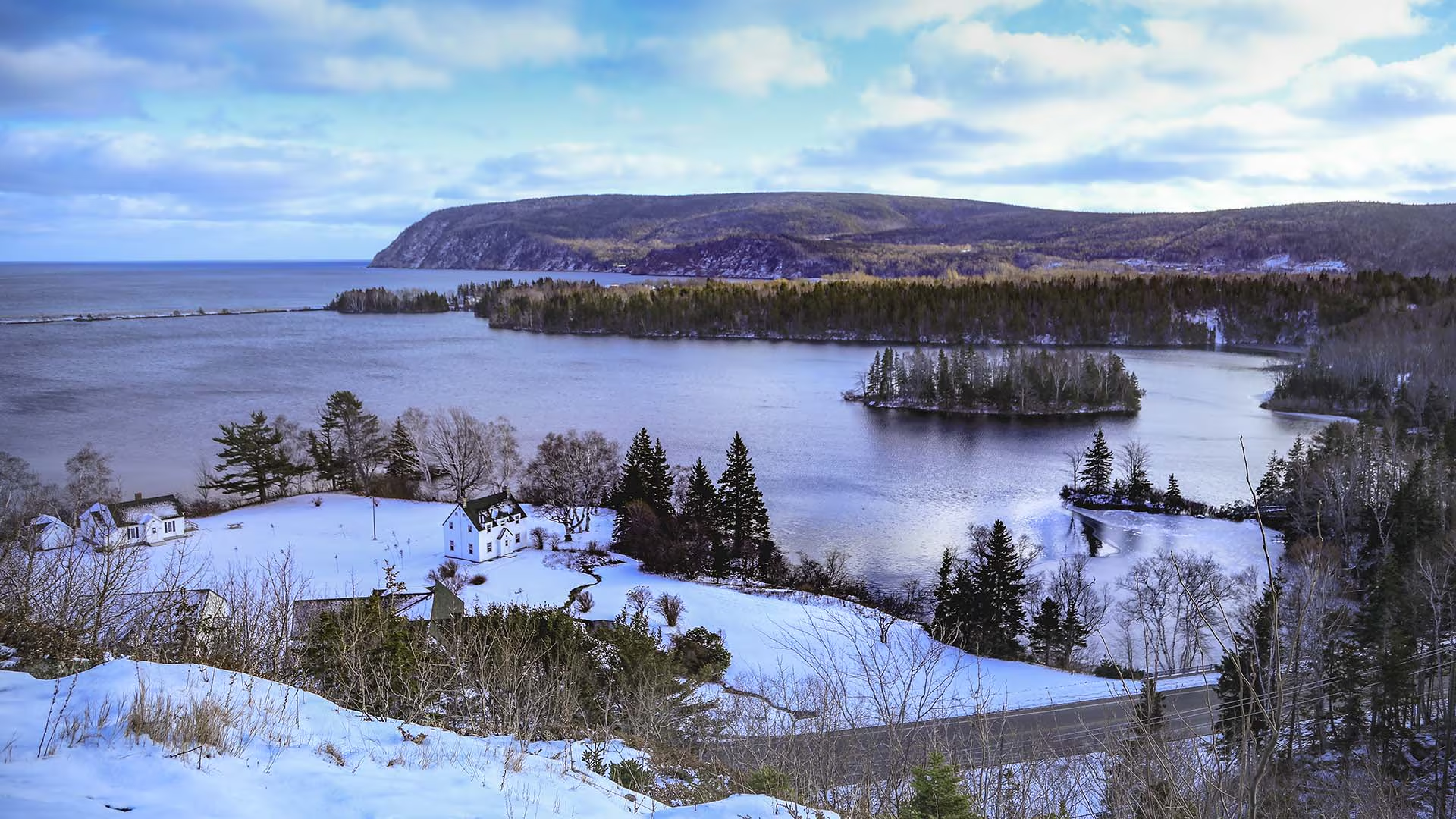
Short but steep, or, steep but short! Wooden stairs lead to a picturesque vista unfolds before you: Ingonish Beach, Freshwater Lake, Middle Head and Cape Smokey. If you don’t have time for a longer hike to get a view, then this trail is for you. Children enjoy it also but be careful at the top.
Trailhead: On the Cabot Trail, across from the Park’s Administration Building in Ingonish
Significant Feature: Atlantic coastline
Length: 0.3 km (0.2 mi) return
Hiking Time: 10 minutes
Elevation: 10 – 45 m (35 – 150 ft.)
Trail Rating: Moderate
GPS Co-ordinates for Trailhead (in decimal degrees):
Lat: 46.646010 Long: -60.402759
Park is open year-round but full visitor services are only available from mid-May until mid-October. A park pass is required all year for hiking or use of other services in the park. Check in at the Parks Canada Visitor Centres in Chéticamp (16 Visitor Centre Road, just off the Cabot Trail on the west side of the park) or in Ingonish (37637 Cabot Trail, on the east side of the park) to obtain passes, information on visitor safety and any other information you may need, including a trail location map.
For your comfort and safety: