Skyline Sunset Hike

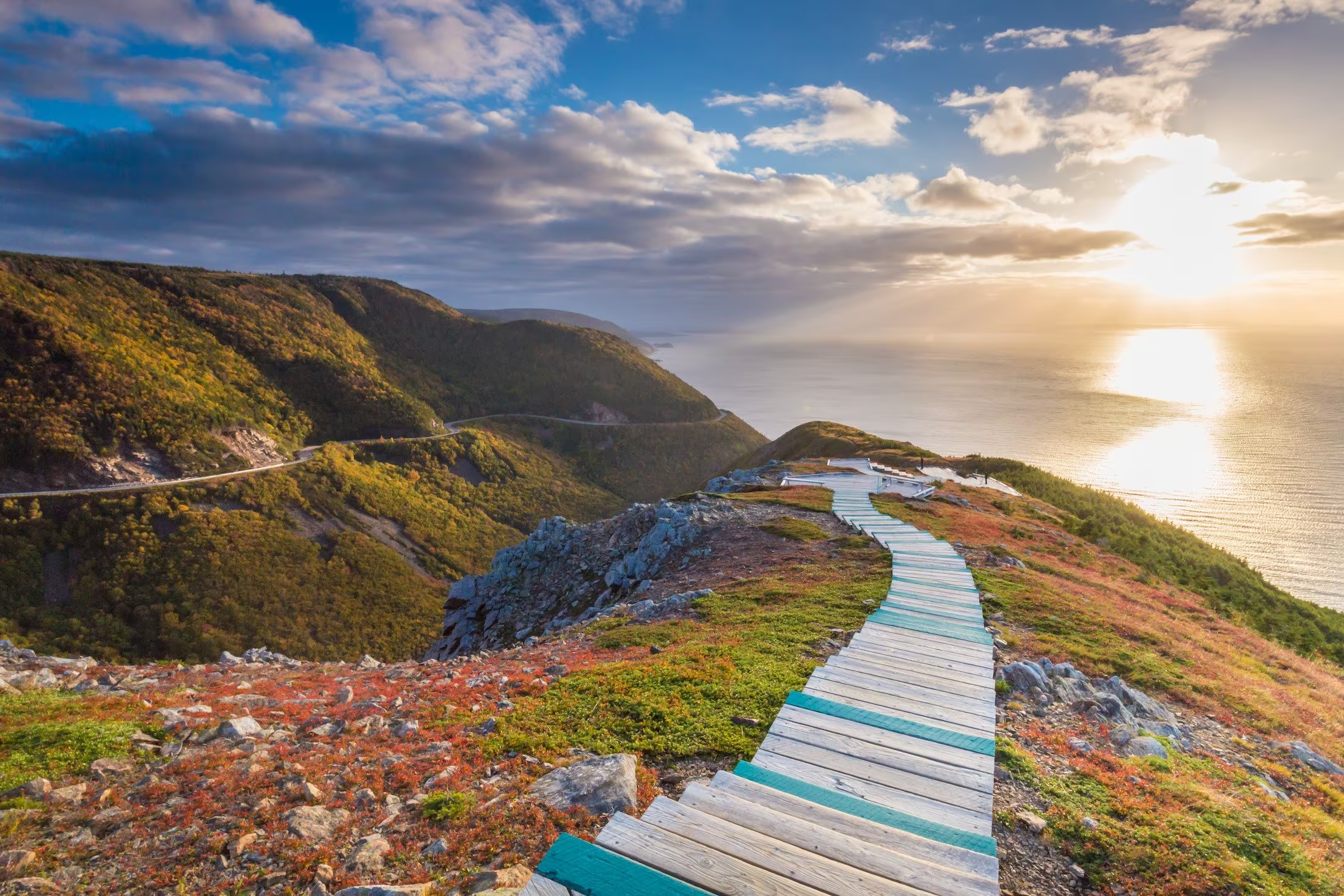
Immerse yourself in the splendour of the sunset as the ocean glistens below. A walk through the boreal forest reveals this panoramic view, often graced by bald eagles, whales and moose. Here, the mountains truly meet the sea.

Your evening hike begins two hours before sunset at the Skyline trailhead, north of Chéticamp. Marvel at the picturesque scenery as your guide leads you along the trail to a jaw-dropping view from the Skyline headland, just in time to watch the sun as it sets on the Gulf of St. Lawrence.

Along the way, listen as your guide stops to describe the area’s biodiversity. Visit a viewing platform and learn more about the challenges facing the area’s boreal forest, as well as the effects of over-browsing by the moose population.

Once you reach the headland, feel free to enjoy the views and the sunset on your own. Your guide is also available for questions. Return to the trailhead at your leisure, or walk back with your guide.

Length: 3 hours

Offered: Daily, June 23 – October 12, 2025

Time: Tour begins 2-hours before sunset. Find out the sunset time here.

Price: $29.50 per person

Book your tickets at Parks Canada visitor centres, campground kiosks, or by contacting: 902-224-2306 or cbinfo@pc.gc.ca.

Good to know:

  • Recommended for visitors aged 12 and up
  • Suitable for most fitness levels
  • Meet at the Skyline trailhead, near the gate and sign at the turnaround end of the parking lot
  • The Skyline Trail is a 15-minute drive from Chéticamp Campground
  • Advance booking is required
  • Maximum of 20 participants
  • This guided hike will take place in most weather conditions, as long as participants wish to attend; however, in the case of lightning, the hike will be cancelled
  • Dress appropriately for the weather and be prepared to apply insect repellant or sunscreen
  • Sturdy shoes are recommended. Participants should bring their own drinking water.

Ski Tuonela

The “Tuonela Trail”, founded in 1997, boasts the maritime’s only serviced Telemark hill. Located in the snow belt of Cape Breton, it was discovered in the late 80’s by two avid backcountry skiers, Chris and Tim. It has been developed over the last ten years, with help from local skiers.

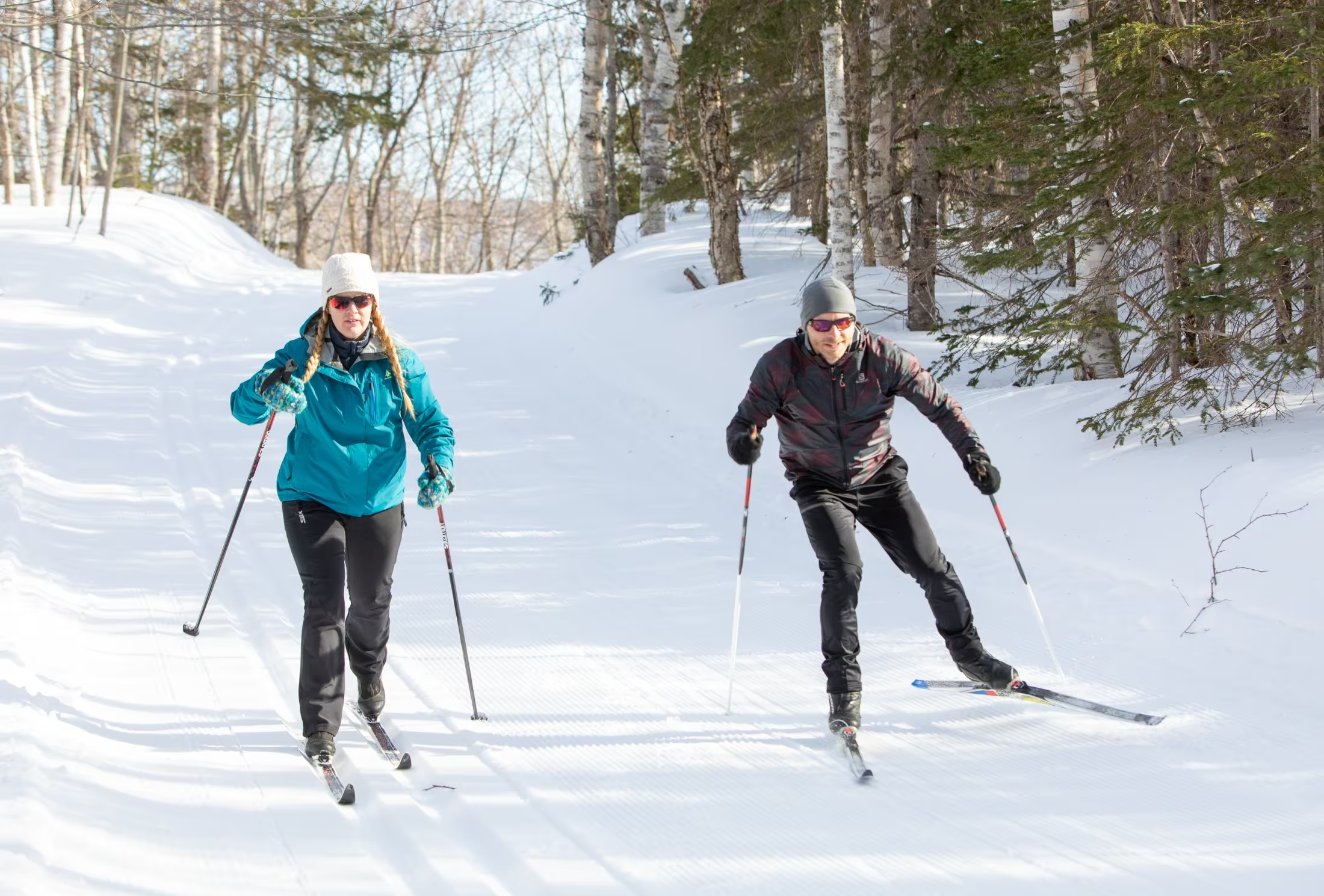
The Telemark Hill with an elevation of 900ASL, has a 1400ft run over a 400ft vertical. There are steep black diamond chutes at the top followed by a majestic run through a spaced maple and birch forest. Access to the top of the Telly Hill is by the groomed trail, snowshoes or climbing skins when the Telemark Hill is open. The 25km of x-country trails are groomed on a regular basis. Designed mainly for classic technique, some are wide enough to permit skating.

The “Millenium Trail”, with its 9 ungroomed switchback bends from the “Peligroso Loop” to the “Xriss-Xross” is a challenge for skiers of any level. “Xriss-Xross” for the 2006 season was totally redesigned and runs along ridges beetween sink holes. Along with its spectacular views of St. Ann’s Bay the “Top of the World” loop leads to the top of the Telemark Hill and accesses the “NDP” trail, the ultimate in black diamond fun. It is a groomed trail with steep sections, hairpin bends, and brings you right back into the Village. “OutThere.com” which leads from “The Hearth” back to “Round the Knoll”, was cut in 2005 and is on the top of the highlands plateau. New for 2008 is the “Manchester Loop” which is an easy 1 km warm-up loop to & from the Village.. Whatever level of skier you are, we have something for you.

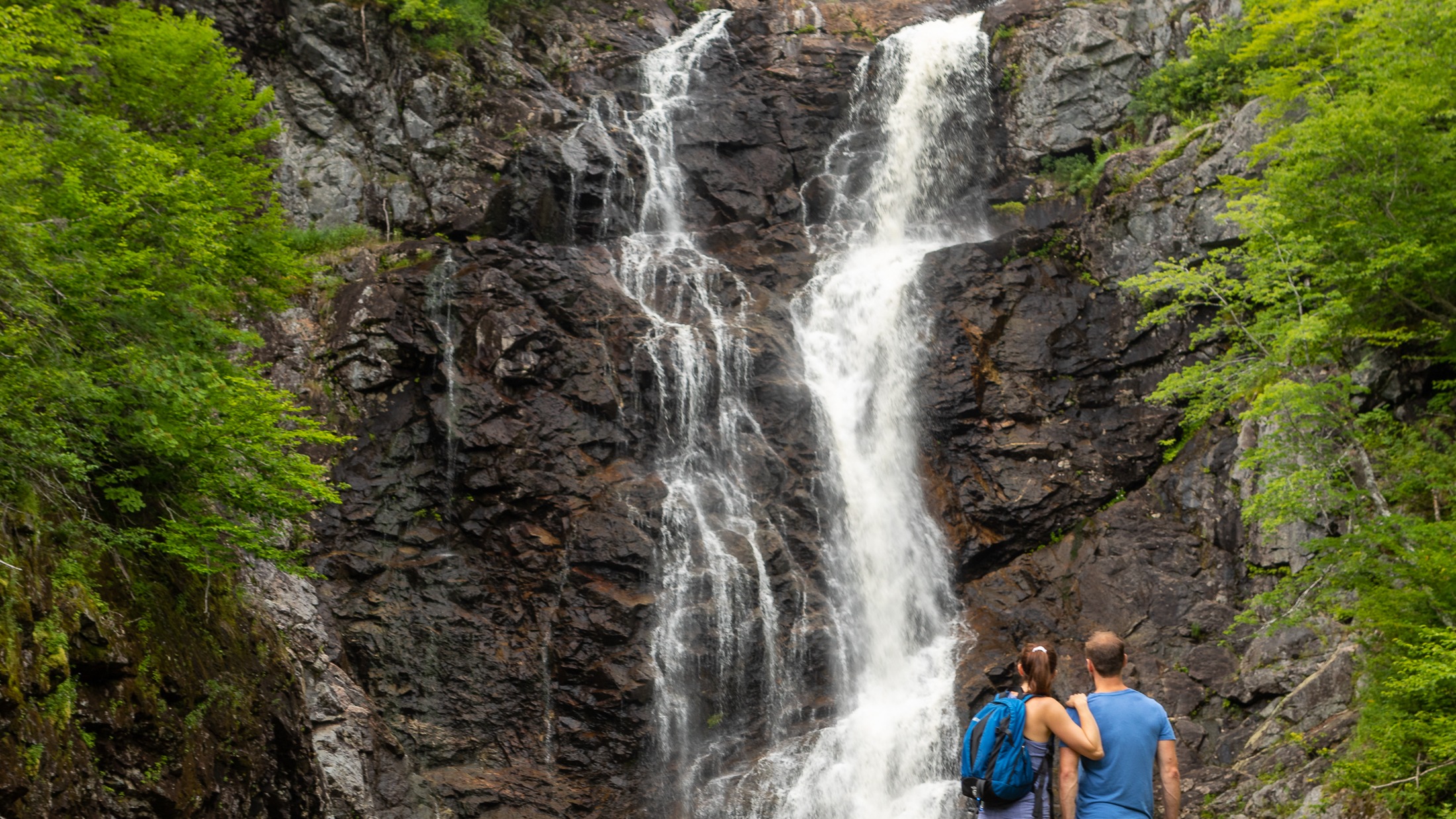
Second Branch Humes River Falls

Waterfall Season Select!


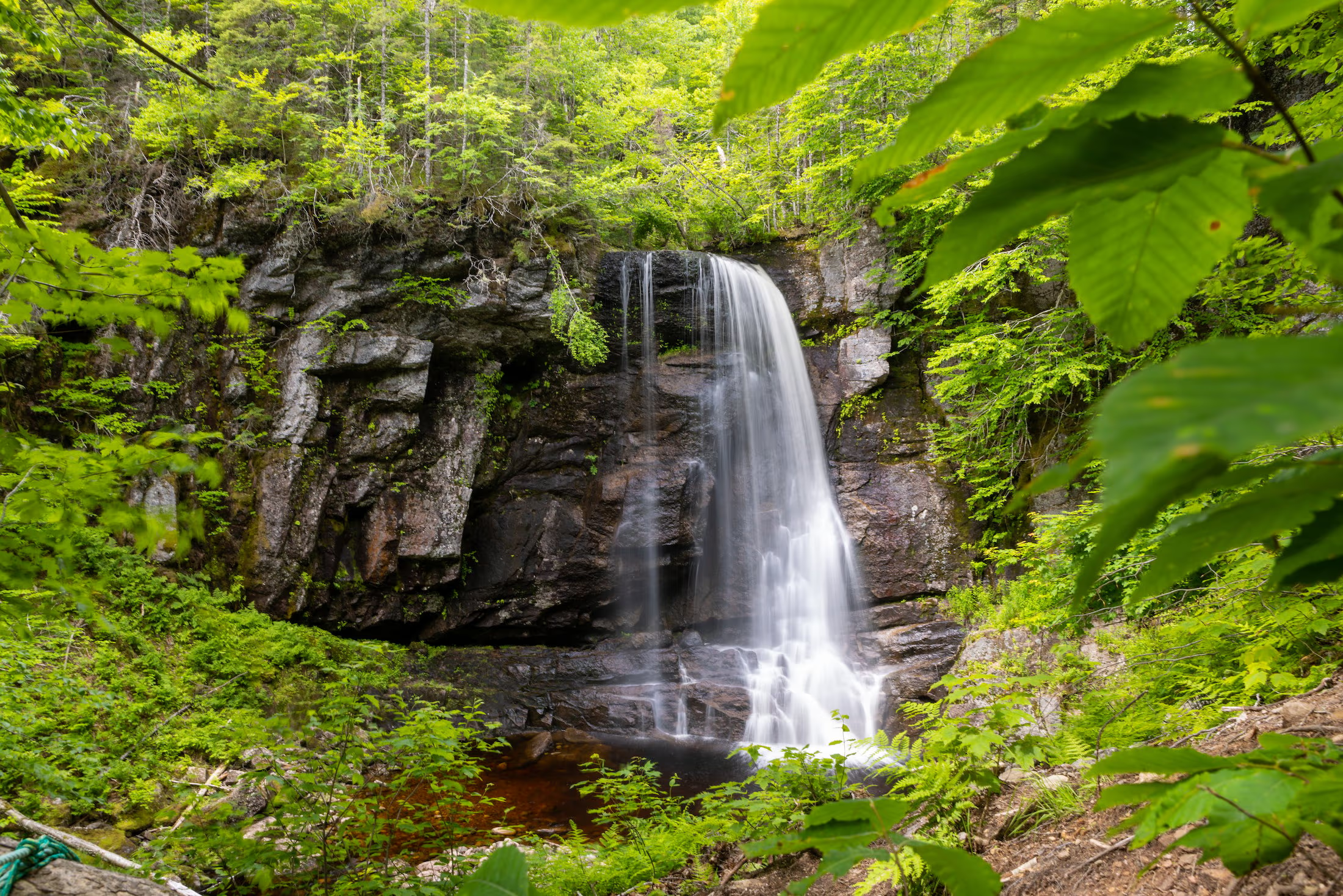
Second Branch Humes River Falls, Wagmatcook First Nation

Height: 15 m

Distance (one way): 4.8 km

Difficulty: Moderate to difficult

Elevation: 300 m

Hiking Time: 3 hours

Cellphone Coverage: Yes

Finding the Trailhead: From the Trans-Canada Highway (Highway 105) between St. Patrick’s Channel and Nyanza, turn onto Humes Rear Road, located 1 km southwest of the bridge over Middle River. Drive on the Humes Rear Road for 750 m and park near the school and baseball field.

Trailhead: 46º04’25.7”N, 60º55’19.0”W    Waterfall: 46º03’49.5”N, 60º58’35.8”W

The Hike: From where you parked, start walking on the continuation of the Humes Rear Road. There is a loss of elevation at first to a large wooden bridge over MacNaughtons Brook. After the first bridge, you cross another smaller brook and then walk uphill to an intersection after walking 1.5 km from your car. Turn to the right at the intersection and hike uphill to the narrow, wooden trail head (2.7 km from the parking lot).

There are lots of markers in the trees on the left of the road, and the narrow woodland Trail really begins here. The trail passes by an old rock wall and rock foundations, then it ascends a small hill. As of September 2020, the trail has been completed all the way to the fall with signage provided by the Wagmatcook First Nation. The route goes down one small valley, goes back up hill, and finally makes it to the falls on the Second Branch Humes River.

Sailing CBI

Discover the best kept secrets of the Bras d’Or Lake with Captain Paul Jamieson and our experienced sailing staff with over 45 years experience.

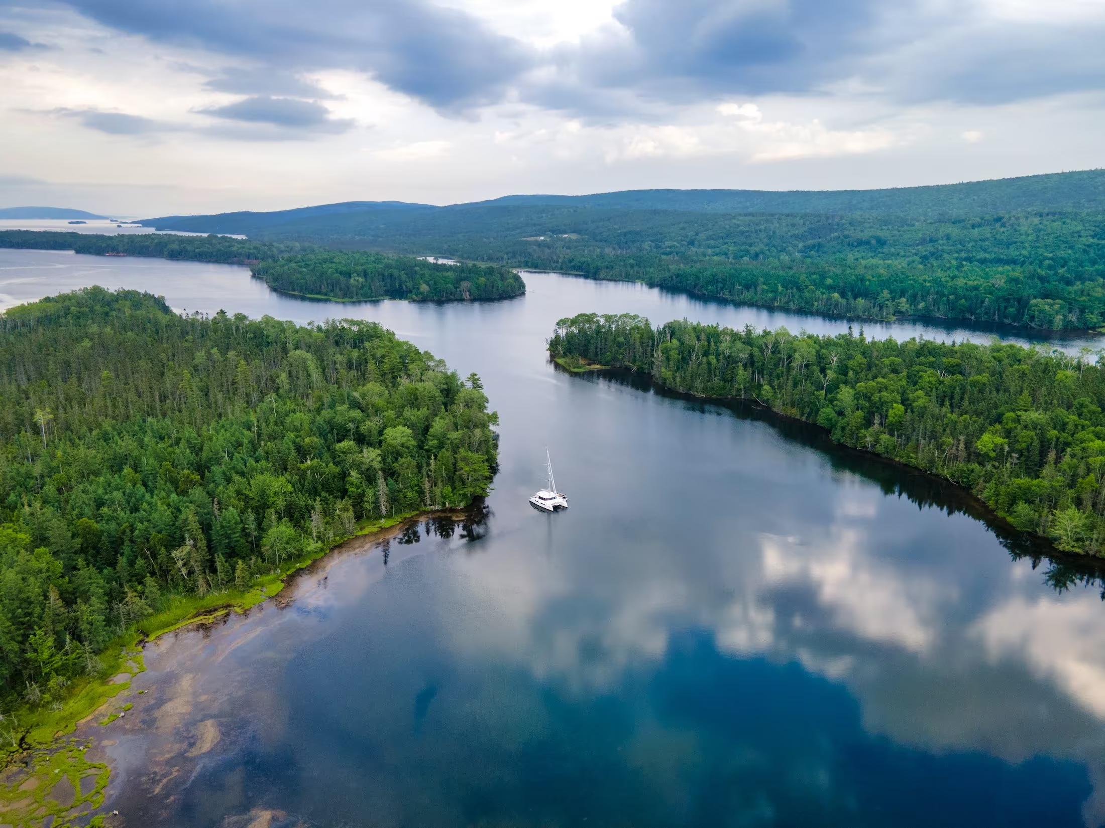
Set sail upon Canada’s largest inland saltwater sea, the Bras d’Or Lake, aboard the Cape Bretoner 1 luxury catamaran. Depart from picturesque Baddeck, along the world-famous Cabot Trail, enjoy breathtaking scenic views and Cape Breton’s famous hospitality while sailing the waters of the UNESCO Biosphere Reserve and coastlines stretching over 790miles (1,250km).

The Cape Bretoner 1, a spacious 42′ Alpha Catamaran, owned and operated by Sailing Cape Breton Island Inc. is the ideal way to experience the beauty of Cape Breton. Join us as we cruise the pristine waters of the Bras d’Or Lake and awaken your senses in the fresh salt air on an unforgettable day trip, relaxing overnight getaway, or 3-6 night vacation charter.

Get ready to embark on a journey of a lifetime with Sailing CBI! Things are booking up quickly so contact us to book your charter. We have 2, 4, and 6 hour charters. In addition, you can set sail on an overnight(s) adventure with Captain Paul at the helm. You can also experience the ultimate luxury of having a private chef on board with a 5-course menu or experience local musicians on the special charter “Backstage on the Bras D’Or” sunset charter.

This charter is a must when you visit the renowned Cabot Trail. Find us on the Baddeck Waterfront at the Baddeck community wharf, 2 Jones Street.

Ross Ferry Provincial Park

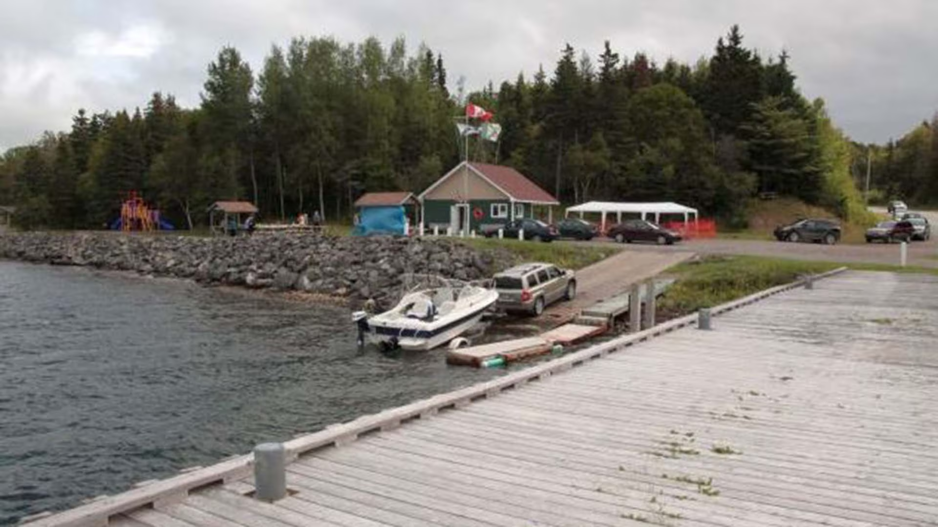
Ross Ferry Provincial Park, located along the Bras d’Or Lakes scenic drive on Cape Breton Island, is a community-managed small day-use area with a boat launch providing access to the Bras d’Or Lakes.  

Other park features include picnic tables, a playground, an interpretive centre and a short-looped trail with rest areas under a mixed wood canopy.

Ross Ferry Marine Park

The Ross Ferry Marine Park is located on the scenic Bras d’Or Lake in Cape Breton, Nova Scotia. The Park is on the site of the ferry which operated for many years between Ross Ferry and Big Harbour, across the Great Bras d’Or Channel.

After the Seal Island Bridge opened in 1961 the ferry was closed and the site remained fallow for many years. In the early 2000’s, after decades of deterioration and neglect, local people decided it was time to take matters into their own hands. The Ross Ferry Stewardship Society, a volunteer based community organization, was formed with the intention of improving the site and to providing continued access to the Bras d’Or. The Society negotiated an agreement with the Province of Nova Scotia to manage the site and work began to create the Marine Park.

Significant contributions and assistance were received from the Government of Canada, the Province of Nova Scotia, Victoria County and other public and private sources. With funding in place, a development plan was created and the work of transforming the site began.

Today we have a vibrant community park which includes picnic areas, walking trails, refurbished wharf facilities, a boat launch, and a children’s playground, all in an idyllic setting on the shores of the Bras d’Or.

The park has continued to receive funding from the federal government and municipal governments for summer students but apart from these contributions the operation and maintenance of the park is dependent on local fundraising and donations.

Oshan Whale Watch

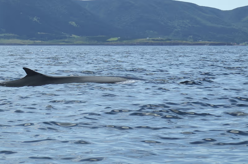
Watch whales, eagles, seals and seabirds at the Top of Cape Breton Island with the Fraser family. Locally owned and operated, Oshan Whale Watch offers guided whale watching tours with a coast guard trained crew. Our boat, the Oshan, is a 42-foot, hydrophone-equipped, Northumberland Strait-style vessel, ideal for the cliff side coastline northern Cape Breton Island.

Tours depart daily at 10:30am, 1:30pm and 4:30pm.  100% customer satisfaction or your money back!

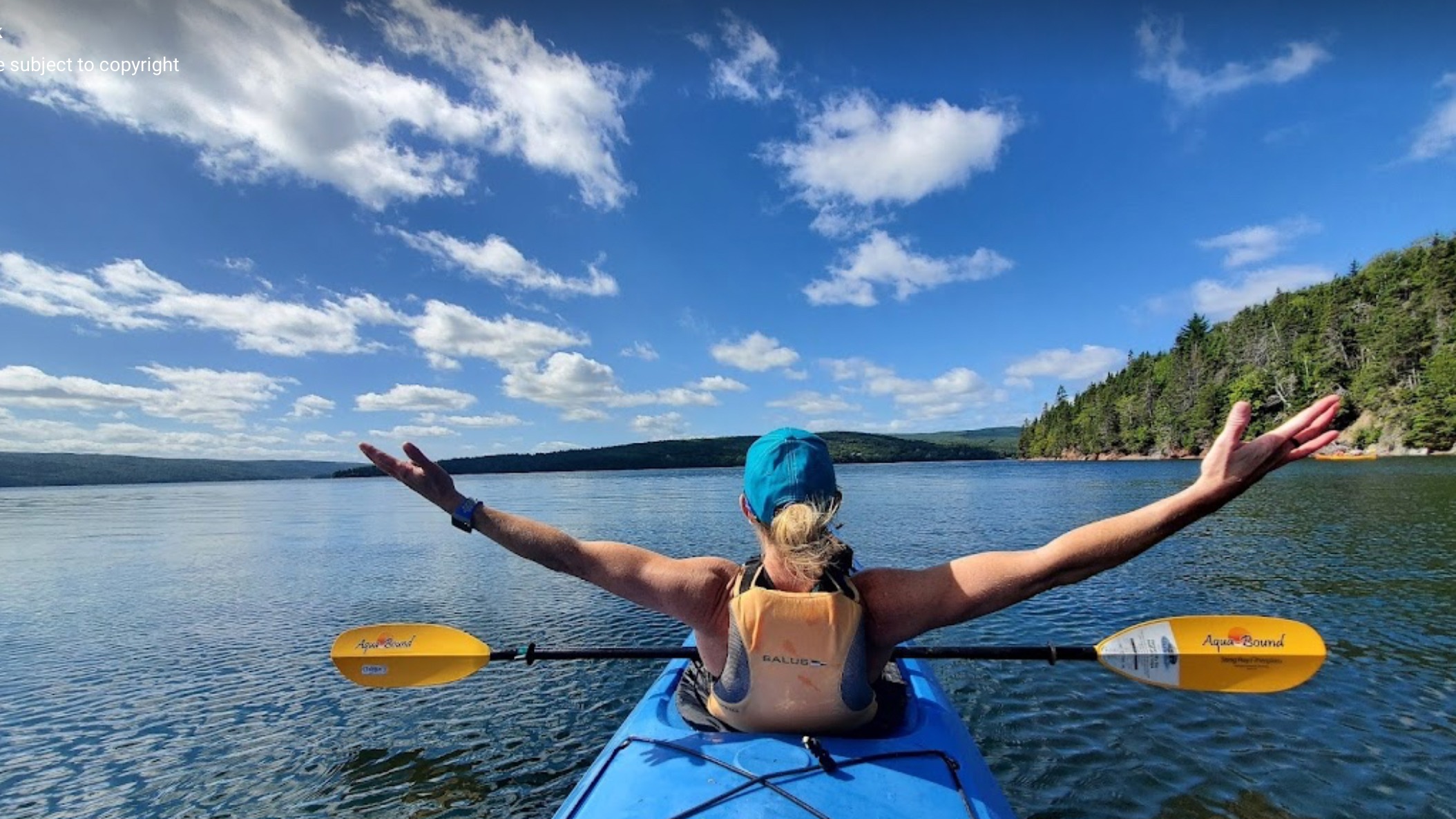
Hands up in Kayak

North River Kayak Tours

For over 30 years, we have been providing award-winning kayaking experiences around Cape Breton Island. 

Located on the Cabot Trail, we offer a variety of sea kayaking tours and packages to suit everyone’s needs, from beginner to advanced. We would be delighted to host your tour and share with you what we know best. We also offer Paddle Canada Level 1 and 2 kayak training and Remote Wilderness First Aid Training and we also have accommodations on site at our River Nest Wilderness Cabins.

Waterfall

North River Falls Provincial Park

North River Falls

Height: 30 m

Distance (one way): 9 km

Difficulty: Moderate (distance)

Elevation: 680 m

Hiking Time: 6-8 hours

Cellphone Coverage: No

***Please note that this trail has experienced serious degradation and should only be traversed by experienced hikers***

Finding the Trailhead: On the Cabot Trail northeast of Baddeck, drive to North River Bridge. On the east side of the bridge across the North River, turn onto Oregon Road and drive to the end where you will see the entrance to the North River Falls Provincial Park and the trailhead. Park here.

Trailhead:  46°19’05.7"N 60°39’44.6"W Waterfall: 46°22’13.6"N 60°41’58.5"W

The Hike: The trailhead is marked with a sign where you parked. The trail at first is quite broad and well used. A little distance past the midpoint of the hike, the trail becomes a little more challenging. The valley narrows quite a lot, and the trail has been constructed in such a way that you need to need to cross several tributaries to the East Branch of the North River. Unfortunately, bridges on this section may be out of commission due to heavy ice flows in the spring. After a challenging hike, you are rewarded with a huge waterfall.

North River Wilderness Area straddles the North River valley, west of St. Anns Harbour, Victoria County. Expanded in 2015, this wilderness area protects more than 5,000 hectares of highland plateau, uplands and rugged river valley.

This area features outstanding examples of geological, fluvial and ecological processes. Mature-old deciduous forest ecosystems are found along the lower valley slopes, together with some hemlock. Pure hemlock stands also occur, such as the “Oregon site” (recognized by the International Biological Program), where tree ages range from regenerating seedlings to mature trees of over 190 years, with individuals reaching ages of over 250 year near the river. The higher elevation elevation areas support a more boreal forest of balsam fir and spruce, as well as wetlands and ponds.

Salmon in the North River are one of the few healthy and self-sustaining early-run sea winter stocks remaining in Nova Scotia. The river contains gravel spawning beds, deep holding pools, and the cold water conditions required by salmon.

The North River is well known as a regional recreation destination, especially for anglers and hikers.

Foot paths along North River have been used by generations of anglers travelling up and down the river to popular salmon pools. These trails meander beside the river for several kilometres, passing through fascinating river-side habitats and forests. They also provide scenic views of waterfalls, pools, and the steep slopes of the canyon ecosystem.

The well-known North River Falls Trail (9 km each way) follows the river valley to the base of North River Falls. At over 32 metres, this is reputed to be the highest falls in the province. Other hiking opportunities on unmanaged trail are found in the south west of the area, where a day hike to the top of Bald Mountain is rewarded with a stunning view of the surrounding wilderness area and countryside.

Guests at Ski Tuonela, near Goose Cove, can enjoy backcountry skiing within North River Wilderness Area, to the look-off at Bald Mountain.

The expanded wilderness area includes the small, former North River Provincial Park, including the trail head of the North River Falls hiking trail. This trail head is a major access point for angling and hiking and will continue to be maintained for public access and enjoyment.

The wilderness area extends to the western side of the forest access road from Oregon to the highlands (off-highway vehicle trail #814). This road can be used to access the wilderness area. Road conditions may be poor.

About 600 m of electrical transmission line passes through the southeastern part of the wilderness area. Nova Scotia Power (NSPI) retains the authority to operate and maintain this transmission line.
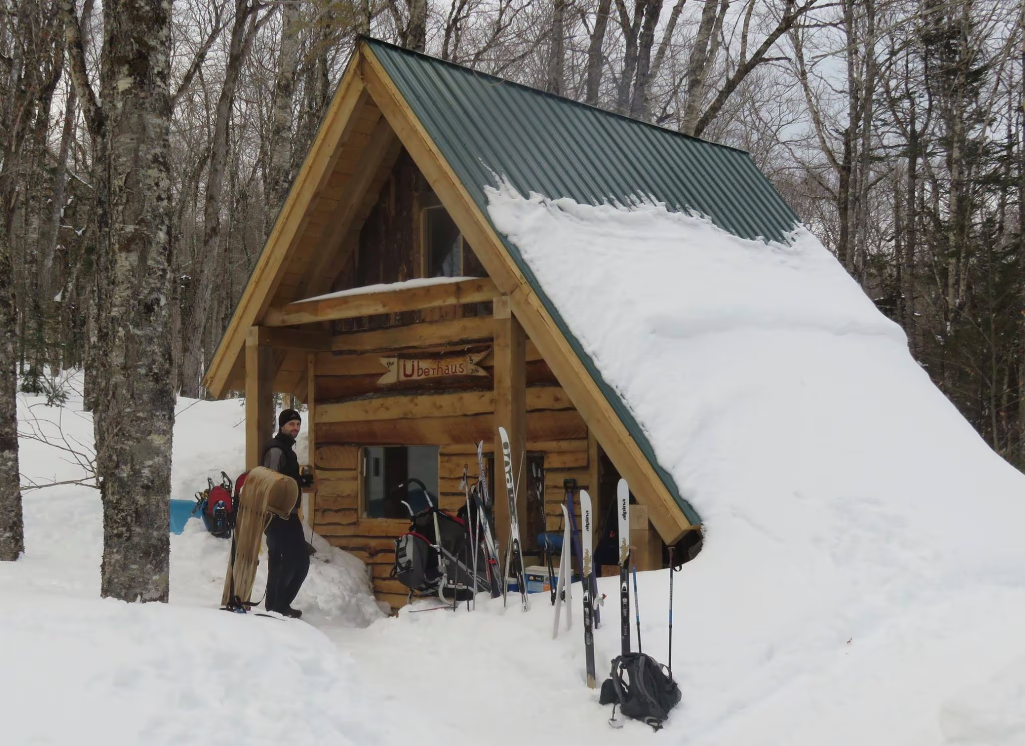
North Highlands Nordic Cross-Country Ski Facility

North Highlands Nordic Ski Area is located in Cape North, on the north east corner of the Cabot Trail on Cape Breton Island. There are over 10 km (6 mi) of groomed trails, which are groomed daily (weather permitting), for classic and skate technique. Visitors can enjoy cross-country skiing and snowshoeing. 

Our facilities include a social gathering room, instructional clinics, and rentals of cross-country skis and snowshoes.