North Bay Beach

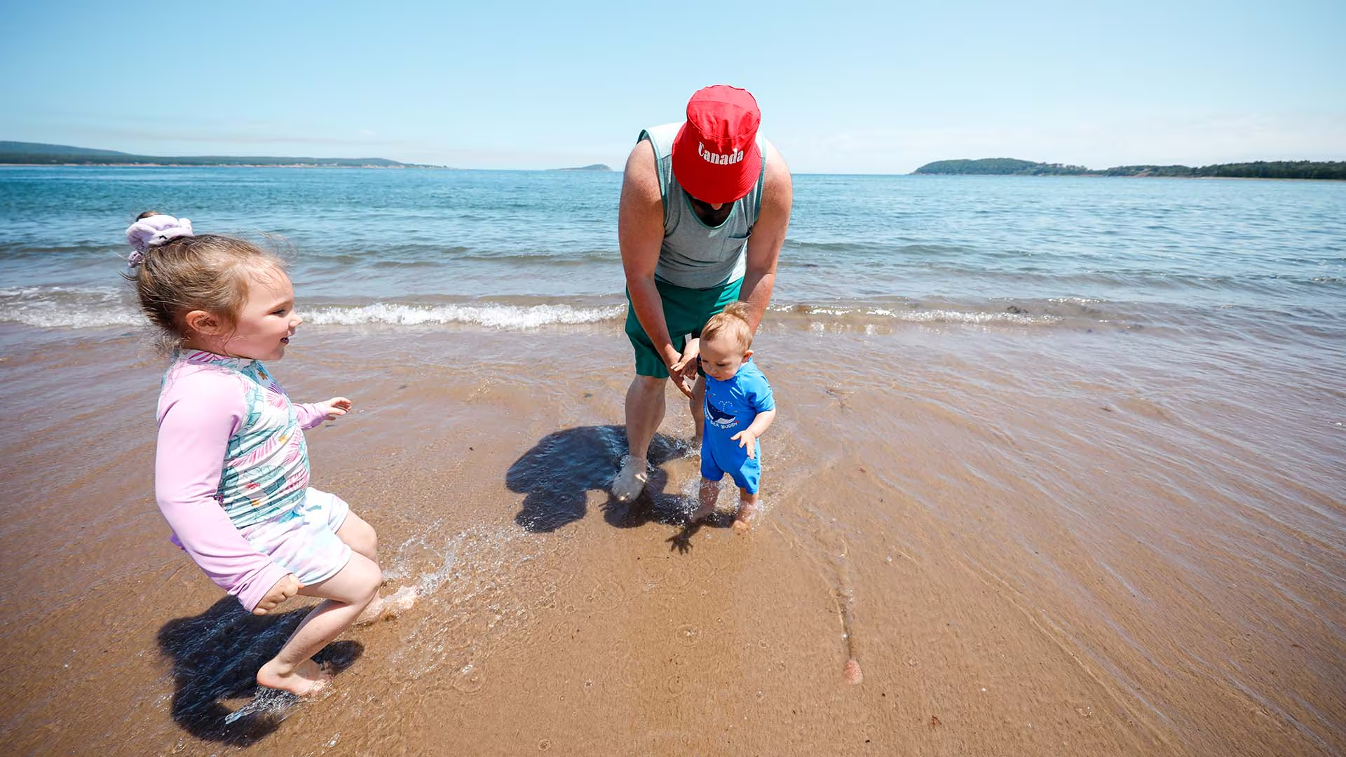
For those seeking a quieter, more secluded beach experience, this long expanse of sand beach is very inviting. 

Families will enjoy splashing in the gentle waves, building epic sandcastles, and sharing a picnic under the shade of apple trees. No lifeguards on duty. Dogs on leash are permitted for walking.

Walk the shoreline down to the Clyburn estuary then cool off with a saltwater swim. Help protect the special ecology of this area. Avoid walking on the dune grasses, which stabilize the sand dunes surrounding the beach and are home to several species of birds.

Cape Breton Highlands National Park’s operating season is from mid-May to mid-October, with full services in July and August. The Cabot Trail is open year-round. A park pass is required for use of all services and facilities in the national park, including beaches. Revenues are used to maintain and improve park services.

For more swimming adventures, visit our website:  https://parks.canada.ca/pn-np/ns/cbreton/activ/baignade-swimming

#KeepitWild
Please be responsible and join with us in caring for our environment. Take your garbage with you, keep wildlife at a safe distance, and stay on designated trails to protect fragile plant life. 
Nature, other visitors, and future generations will be thankful for your stewardship.
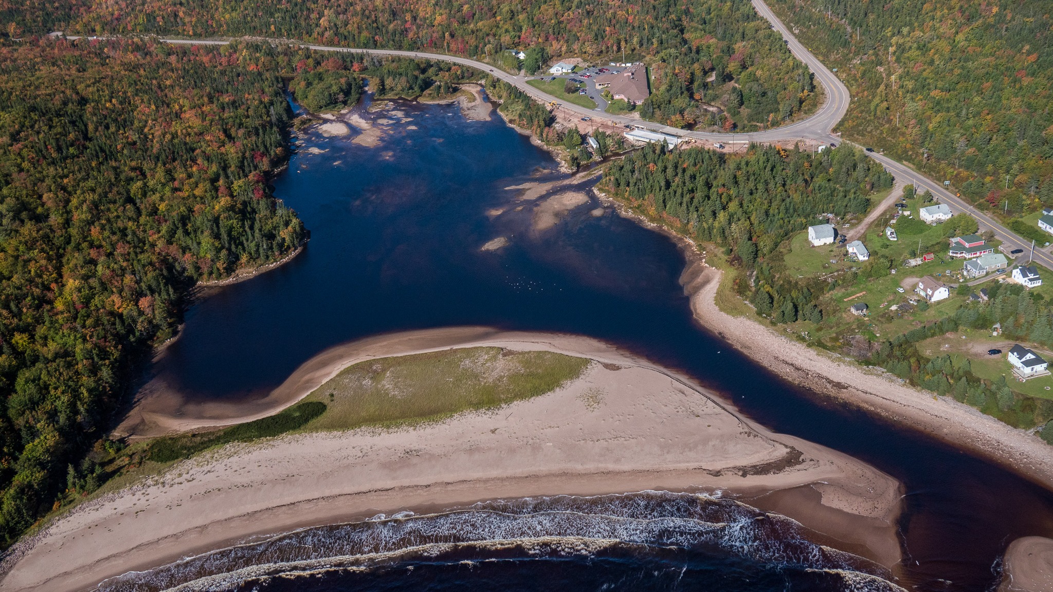
Ariel

Neils Brook Beach Trail

Take a peaceful walk through soft boreal forest to the hidden-gem of Neils Brook Beach.

This trail winds to the lesser-explored end of Neil’s Harbour Beach and opens onto an estuary alive with nature and the dramatic meeting of forest and Atlantic coast. This stroll offers the comfort of sheltering woods and the reward of ocean breeze, making it ideal for families, casual walkers, or anyone seeking a tranquil nature escape
Length: 2.5 km (1.5 mi) return
Rating: Easy – Family-friendly and suitable for all visitors
Elevation: 0 – 45 m (0 – 150 ft)
Time: 45 – 50 minutes
Trailhead Coordinates: 46.807398, -60.344756

Mountain Pine Adventures – Ziplining Experience

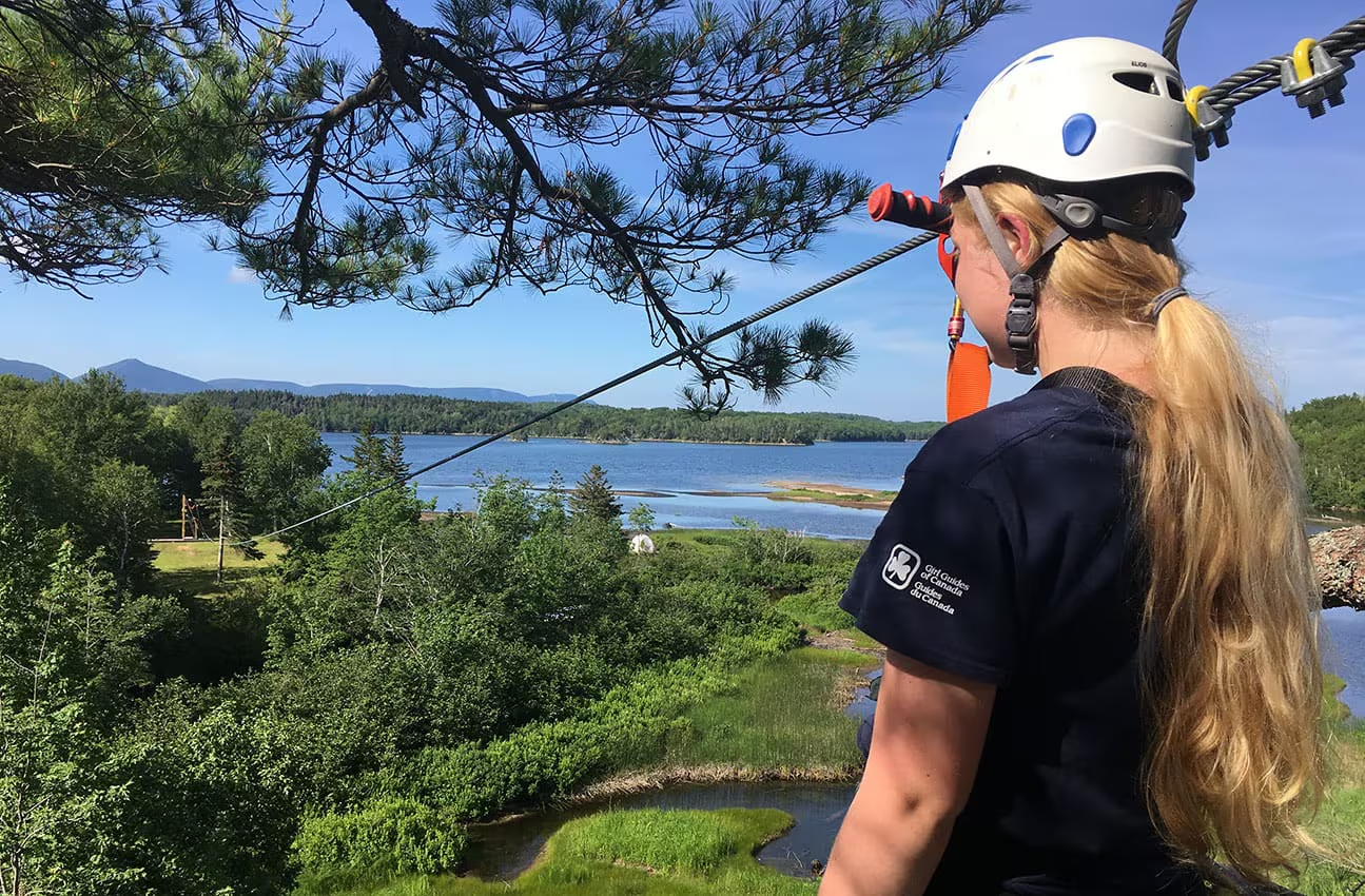
Treetop ziplining, stand-up paddle boarding and a rock climbing wall are all designed to thrill and invigorate. Throw in some experiential dining and you’ll see why Mountain Pine Adventures is known for offering unique perspectives and unparalleled experiences. For those looking to explore Cape Breton and truly connect with her deep roots and laid-back charm visit Mountain Pine Adventures.

Trail

Middle Head Trail

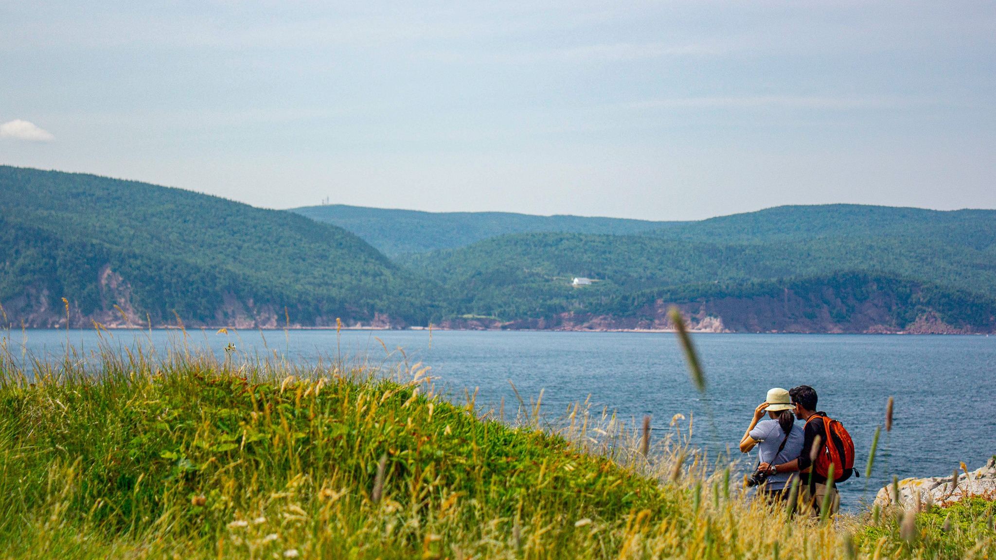
Have you ever dreamed of hiking a trail that feels like it stretches right into the sea? Middle Head in Cape Breton Highlands National Park does exactly that!

This 5.3 km (return) trail follows a long, narrow peninsula separating two sparkling ocean bays and ends on dramatic cliffs with sweeping views of the Atlantic, Cape Smokey, and Ingonish Island.

Along the way, watch for seabirds, seals, whales, eagles, and even fishing boats heading out to sea in early summer.

Discover brand-new interpretive panels that share Mi’kmaq stories and connections to this land and sea, along with insights into the trail’s rich natural and cultural heritage.

Trailhead: Behind Keltic Lodge, Ingonish

(civic address: 383 Keltic In Road, Ingonish)

Lat: 46.655391 Long: -60.372142

Distance: 5.3 km (return)

Elevation: 10 – 55 m (32 – 180 ft)

Time: 1.5–2 hours

Rating: Easy

Park is open year-round but full visitor services are only available from mid-May until mid-October. A park pass is required for hiking or use of other services in the park; park entry fee applies. Check in at the Parks Canada visitor centres in Chéticamp (16 Visitor Centre Rd., situated on the west side of the park) or in Ingonish (37637 Cabot Trail, on the east side of the park) to obtain passes, information on visitor safety and any other information you may need, including a trail location map.

For your comfort and safety:

  • Do not approach, disturb or feed wild animals.
  • Take along appropriate clothing – rapid weather changes often occur on the plateau or along the coast.
  • Carry water with you, especially for longer trails, climbs or open barrens.
  • Bring insect repellent as black flies and mosquitoes are common all summer.
  • Mountain bikes are permitted only where indicated, for public safety and protection of the environment.
  • Stay on designated trails and boardwalks to protect fragile vegetation.
  • Do not throw food or scraps along the trails or roads.
  • Read "Keep it Wild, Keep it Safe" brochure, available at park visitor centres and on the Parks Canada website.
  • Recreational drone use is prohibited within the national park for the safety of wildlife and other visitors.

Mica Hill Trail

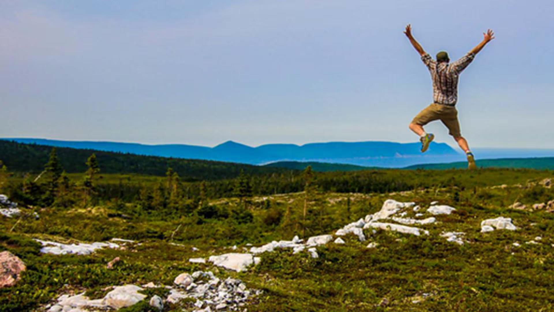
This breathtaking trail winds through Acadian mixed forest and stunted taiga as it climbs to the windswept plateau. It offers 360° views spanning the barrens, the dramatic Aspy fault, coastal villages far below and mountains reaching the most northern tip of Cape Breton. Continue along a narrower footpath to Mica Hill’s remarkable displays of mica glittering amongst the quartz boulders. Explore a small side loop past Paquette Lake on your return.

Trailhead: Take the Paquette Lake road and park at the lake 

Significant Feature: Highlands taiga, mica-quartz pegmatite
Length: 7.9 km (4.9 mi) return; 8.4 km (5.2 mi) with loop

Hiking Time: 3–4 hours

Elevation: 260–400 m (850–1345 ft.) Gradual climb.
Trail Rating: Moderate

GPS Co-ordinates for Trailhead (in decimal degrees): Lat: 46.834629 Long: -60.434124

Open from mid-May to mid-October. A park pass is required for hiking or use of other services in the park; park entry fee applies. Check in at the Parks Canada visitor centres in Chéticamp (16 Visitor Centre Rd., situated on the west side of the park) or in Ingonish (37637 Cabot Trail, on the east side of the park) to obtain passes, information on visitor safety and any other information you may need, including a trail location map.

For your comfort and safety:

  • Do not approach, disturb or feed wild animals.
  • Take along appropriate clothing – rapid weather changes often occur on the plateau or along the coast.
  • Carry water with you, especially for longer trails, climbs or open barrens.
  • Bring insect repellent as black flies and mosquitoes are common all summer.
  • Mountain bikes are permitted only where indicated, for public safety and protection of the environment.
  • Stay on designated trails and boardwalks to protect fragile vegetation.
  • Do not throw food or scraps along the trails or roads.
  • Read "Keep it Wild, Keep it Safe" brochure, available at park visitor centres and on the Parks Canada website.
  • Recreational drone use is prohibited within the national park for the safety of wildlife and other visitors.
Waterfall

McNaughton’s Falls

Waterfall Season Select!

McNaughton’s Falls, Wagmatcook First Nation
Height: 15 m
Distance (one way): 4 km
Difficulty: Moderate 
Elevation: 300 m
Hiking Time: 2 hours
Cellphone Coverage: Yes (partial)
Finding the Trailhead: From the Trans-Canada Highway (Highway 105) between St. Patrick’s Channel and Nyanza, turn onto Humes Rear Road, located 1 km southwest of the bridge over Middle River. Drive on the Humes Rear Road for 750 m and park near the school and baseball field.
Trailhead: 46º04’25.7”N, 60º55’19.0”W Waterfall: 46°04’36.4"N 60°57’45.7"W
The Hike: From where you parked, start walking on the continuation of the Humes Rear Road. There is a loss of elevation at first to a large wooden bridge over MacNaughtons Brook. After the first bridge, you cross another smaller brook and then walk uphill to an intersection after walking 1.5 km from your car. Turn to the right at the intersection and hike uphill for approximately 2 km until you see flagging on the right side of the trail. Turn right and follow the footpath downhill for another 50m or so. There is a small viewing platform for this waterfall.

McIntyre’s Cottages & Cameron House

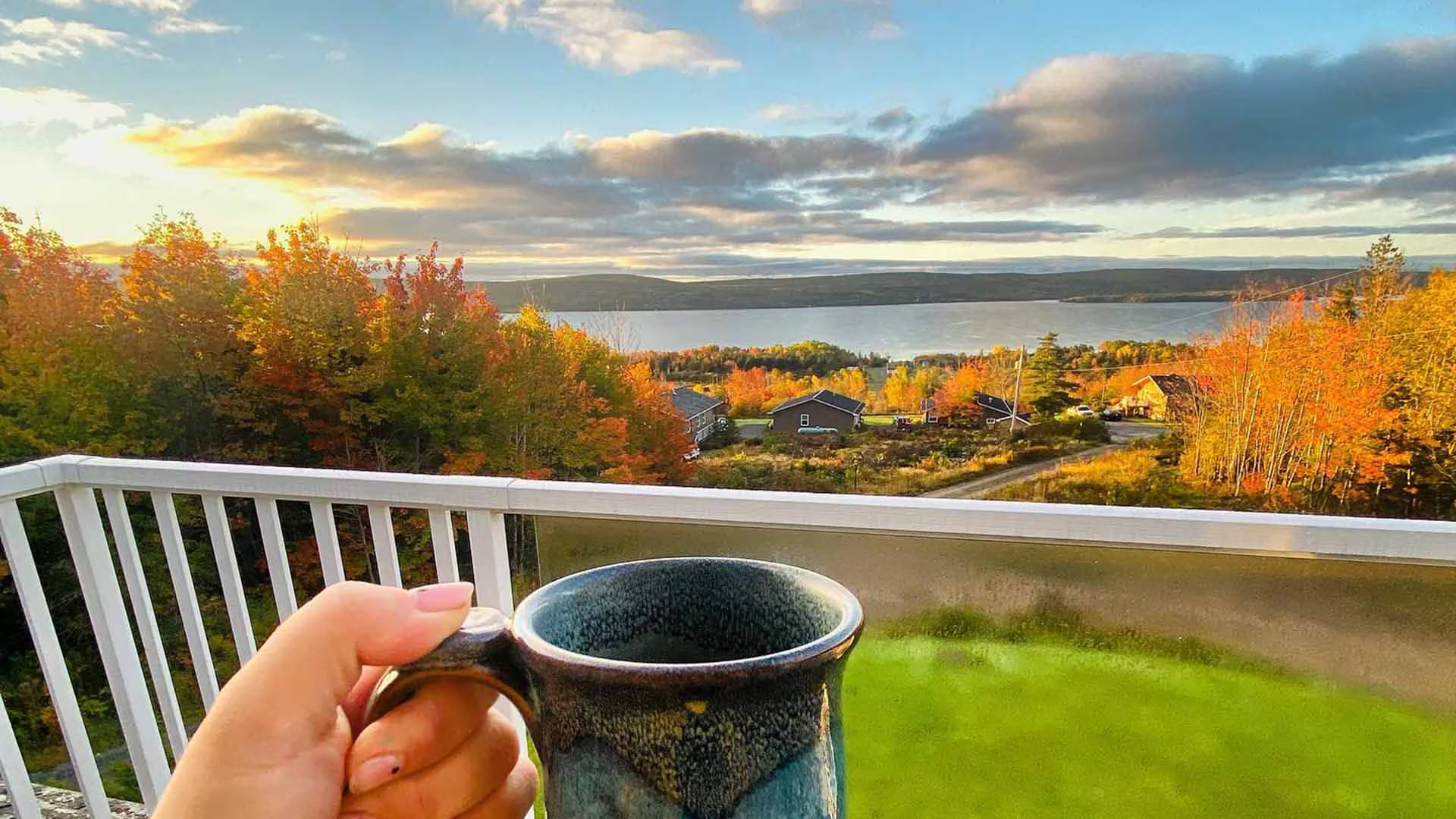
McIntyre’s Cottages & Cameron House is situated in Baddeck Inlet within the Bras d’Or Lake Biosphere on beautiful Cape Breton Island. This quiet, cozy hilltop cottage and vacation home property will amaze you with the incredible views over the Bras d’Or Lake from the covered verandas on the cottages and Cameron House’s covered verandah, screened room and second floor balcony. 

Access to lake activities in nearby Baddeck are just minutes away! Located just a five minute drive to the village of Baddeck, you’ll find a variety of restaurants and cafés, shops and boutiques, a waterfront boardwalk, yacht club, tennis court along with JetSki rentals and sailing tours of the Bras d’Or Lake.  

We are conveniently located near attractions such as the Alexander Graham Bell National Historic Site and Bell Bay Golf Course. Baddeck is the beginning and the end of the legendary Cabot Trail, one of the world’s most famous scenic drives with many historic communities and attractions to discover along the way. We are a perfect location for the many day trips you can take to explore our beautiful island during your stay.

Our cottage accommodations include 8 one- and two-bedroom air-conditioned guest units (King/Twin, Queen, pullout) in duplex cottages with a 4-piece bath, cable television, WiFi, propane fireplace, kitchenette, covered private verandah and barbecue. Ramp access is available in three cottages with two cottages, a one bedroom and a two bedroom, being wheelchair accessible. 

Cameron House is a 3-bedroom guest house (Queen, King/Twin; sleeps 8), with two 4-piece bathrooms (double whirlpool tub) and a 2-piece bathroom. The house comes complete with air conditioning, cable television with a DVD/CD player, telephone, hair dryer, clock radio, free WiFi access, propane fireplace, laundry facilities, iron/ironing board, covered verandah, screened room, and barbecue. Ramp access is available. 

Property amenities include a fire pit, children’s play area and, in the wintertime, groomed snow trails with snowshoes available for guests. Snowmobiling trails located nearby. Pets are permitted in some cottages at an additional charge. Cameron House is not pet friendly.

Visit our website for additional details, suggested itineraries and to book! Visa, MasterCard,  Direct Debit and cash are accepted.

Waterfall

Mary Ann Falls

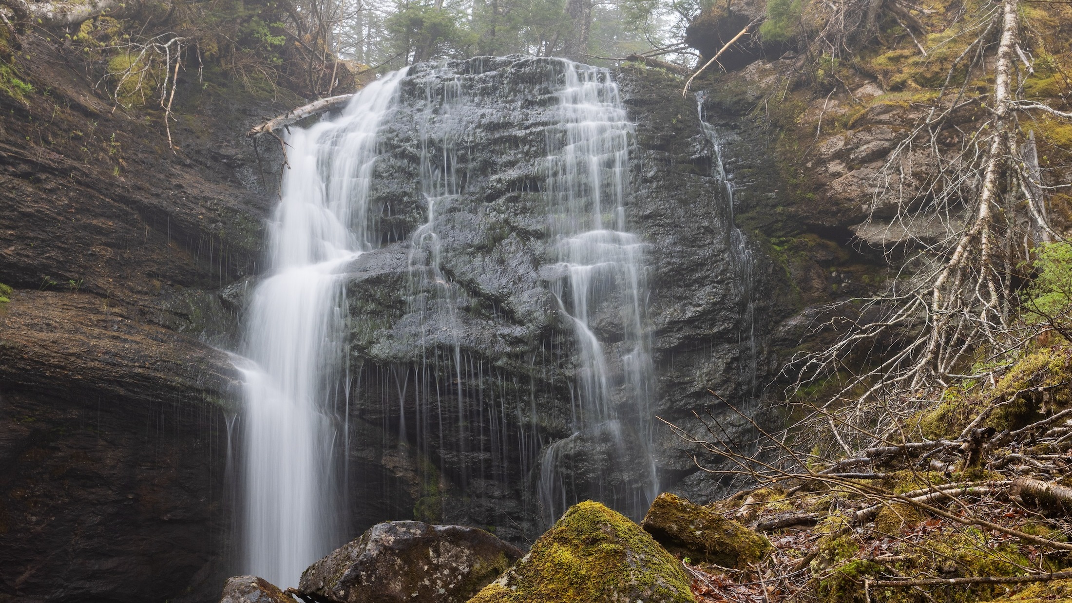
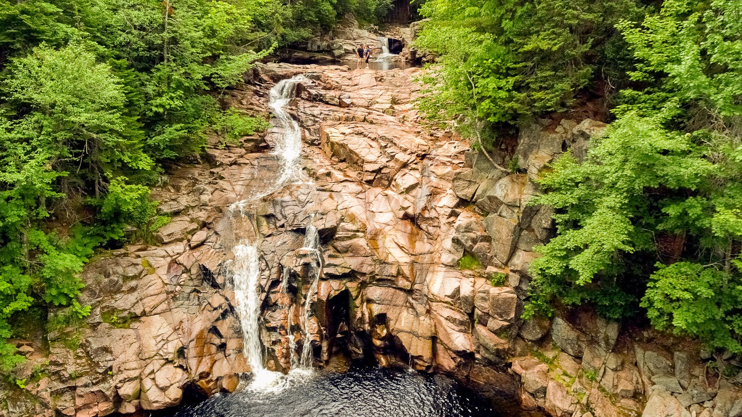
Cape Breton Highlands National Park invites you to explore one of its newest hiking experiences, following a section of the original Cabot Trail route from before its 1950s realignment. Now designated exclusively for hiking, this revitalized trail offers a journey through Acadian forest to the breathtaking Mary Ann Falls, a cascading waterfall tucked deep within the park.

At the end of the trail, descend a sturdy staircase to reach the base of the falls, where cool waters and scenic surroundings provide a rewarding place to rest. Along the way, hikers can discover remnants of a historic iron bridge that once crossed Mary Ann Brook, adding a meaningful connection to the area’s past.
This moderate 13.9 km (8.6 mi) return hike features long and steep sections and is best suited for visitors with hiking experience who are prepared with proper footwear, water, and supplies. The trail includes uneven terrain in places and typically takes 5 to 6 hours to complete.
While Mary Ann Falls is known as a historic swimming spot, its remote location means visitors should use caution, as emergency services are not readily accessible.
Distance: 13.9 km return
Time: 5 to 6 hours
Elevation: 8 to 166 m (26 to 545 ft)
Trailhead: 46°42’47.1"N 60°21’53.8"W
Waterfall:46°45’42.9"N 60°21’47.5"W

MacIntosh Brook Falls Trail

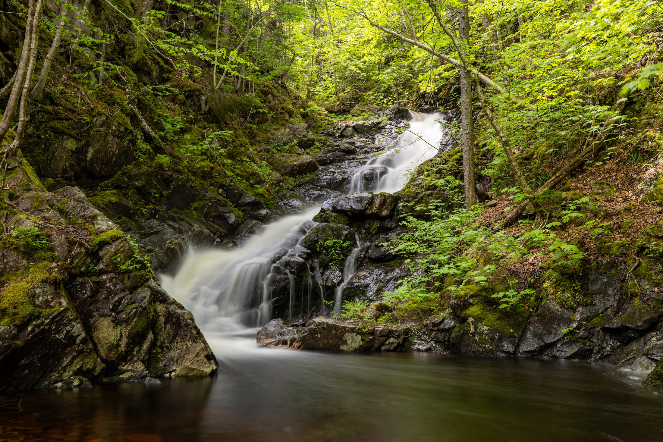
Enjoy a family-friendly, fairly level stroll along a babbling brook and through a mature hardwood forest with a picturesque waterfall at the end. Be serenaded by the songs of forest birds along this relaxing trail. You can even charge your vehicle at the EV charging stations near the trailhead while you hike. 

Trailhead: MacIntosh Brook Campground and day use area 

Significant Feature: Old growth Acadian forest, waterfall

Length: 1.7 km (1.1 mi) return

Hiking Time: 30–45 min

Elevation: 30–65 m (100–215 ft.)Suitable for most skill levels. Uneven trail surface (exposed roots) in some places.
Trail Rating: Easy

Trailhead: 46°48’43.4"N 60°46’04.3"W

Waterfall: 46°48’29.8"N 60°45’43.8"W

Open from mid-May to mid-October. A park pass is required for hiking or use of other services in the park; park entry fee applies. Check in at the Parks Canada visitor centres in Chéticamp (16 Visitor Centre Rd., situated on the west side of the park) or in Ingonish (37637 Cabot Trail, on the east side of the park) to obtain passes, information on visitor safety and any other information you may need, including a trail location map.

For your comfort and safety:

  •  Do not approach, disturb or feed wild animals.
  •  Take along appropriate clothing – rapid weather changes often occur on the plateau or along the coast.
  •  Carry water with you, especially for longer trails, climbs or open barrens.
  •  Bring insect repellent as black flies and mosquitoes are common all summer.
  •  Mountain bikes are permitted only where indicated, for public safety and protection of the environment.
  •  Stay on designated trails and boardwalks to protect fragile vegetation.
  •  Do not throw food or scraps along the trails or roads.
  •  Read "Keep it Wild, Keep it Safe" brochure, available at park visitor centres and on the Parks Canada website.
  •  Recreational drone use is prohibited within the national park for the safety of wildlife and other visitors.

MacCormack Provincial Park

MacCormack Provincial Park is a small picnic park overlooking Bras d’Or Lake on Cape Breton Island off Route 223 on the Bras d’Or Lakes Scenic Drive. Picnic tables are scattered through a softwood forest. The park has beach access with a view of picturesque Plaster Cove.