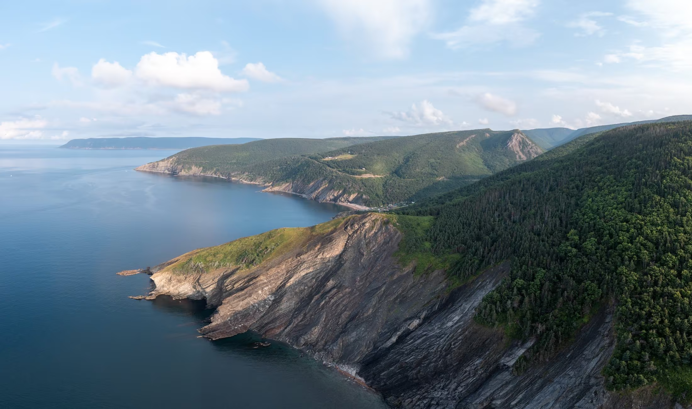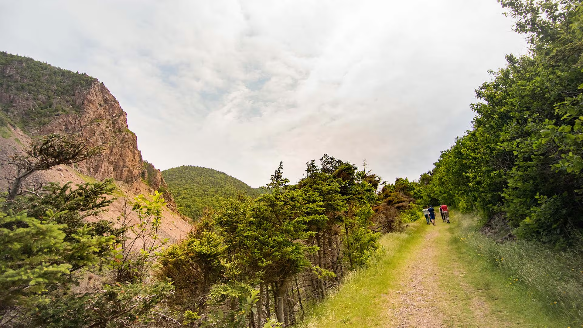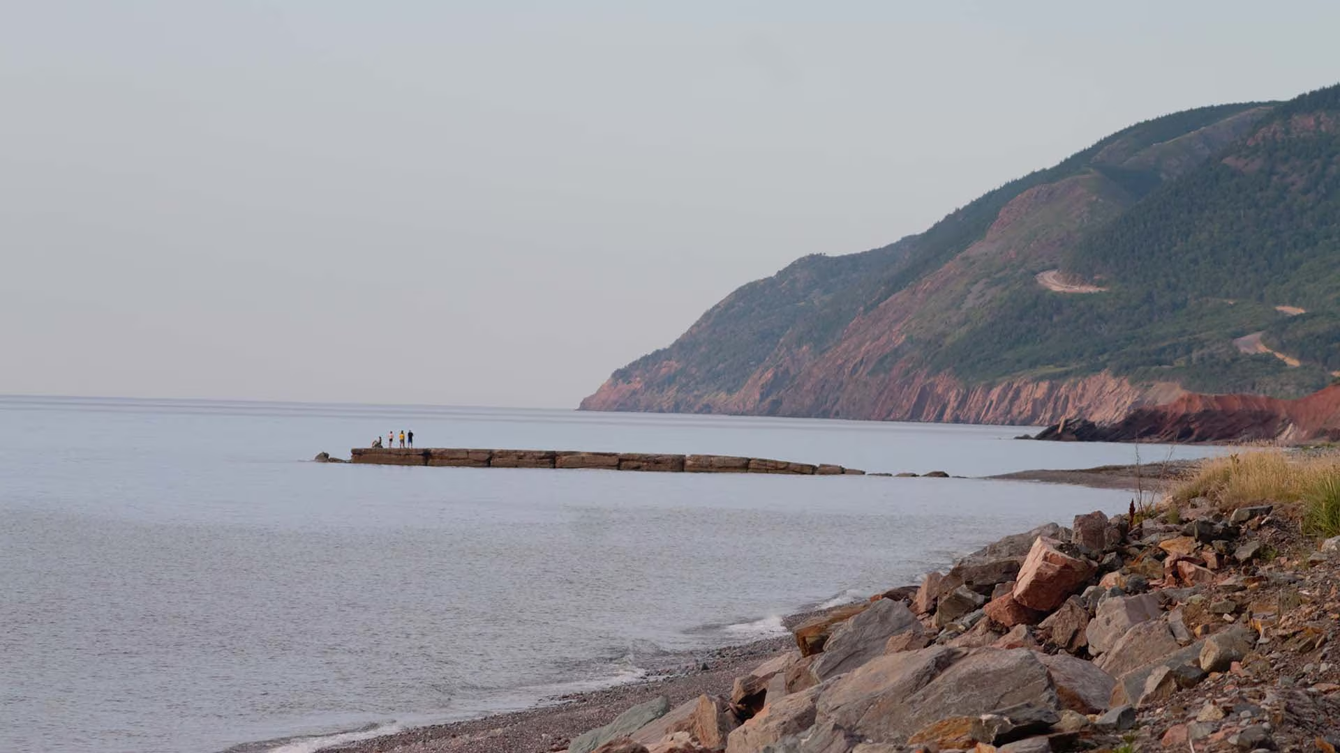
Lowland Cove Loop – Meat Cove

Length: 16 km (10 mi) return
Hiking Time: 5+hr
Type of Trail: natural surface, compacted earth
Uses (no snow): walking, biking, horseback riding, ATVs
Uses (snow): cross-country skiing, snowmobiling, snowshoeing
Facilities: camping, tables, water, outhouses (at trailhead only)
Dog Use: off-leash permitted

Gov’t Topo Map: 11N02 (Cape St. Lawrence)
Rating (1-5): 4 [distance, elevation change]

Trailhead GPS: N 47° 01” 35.2’ W 60° 33” 33.3’

Access Information: Turn off the Cabot Trail at Cape North Village onto the Bay St. Lawrence Road. At 15.5 km (9.75 mi), turn sharply left onto the Meat Cove Road, which is paved for the first 6 km (3.75 mi), but for the last 7 km (4.25 mi) is narrow dirt road. Follow it to the Meat Cove Campground, and park there.

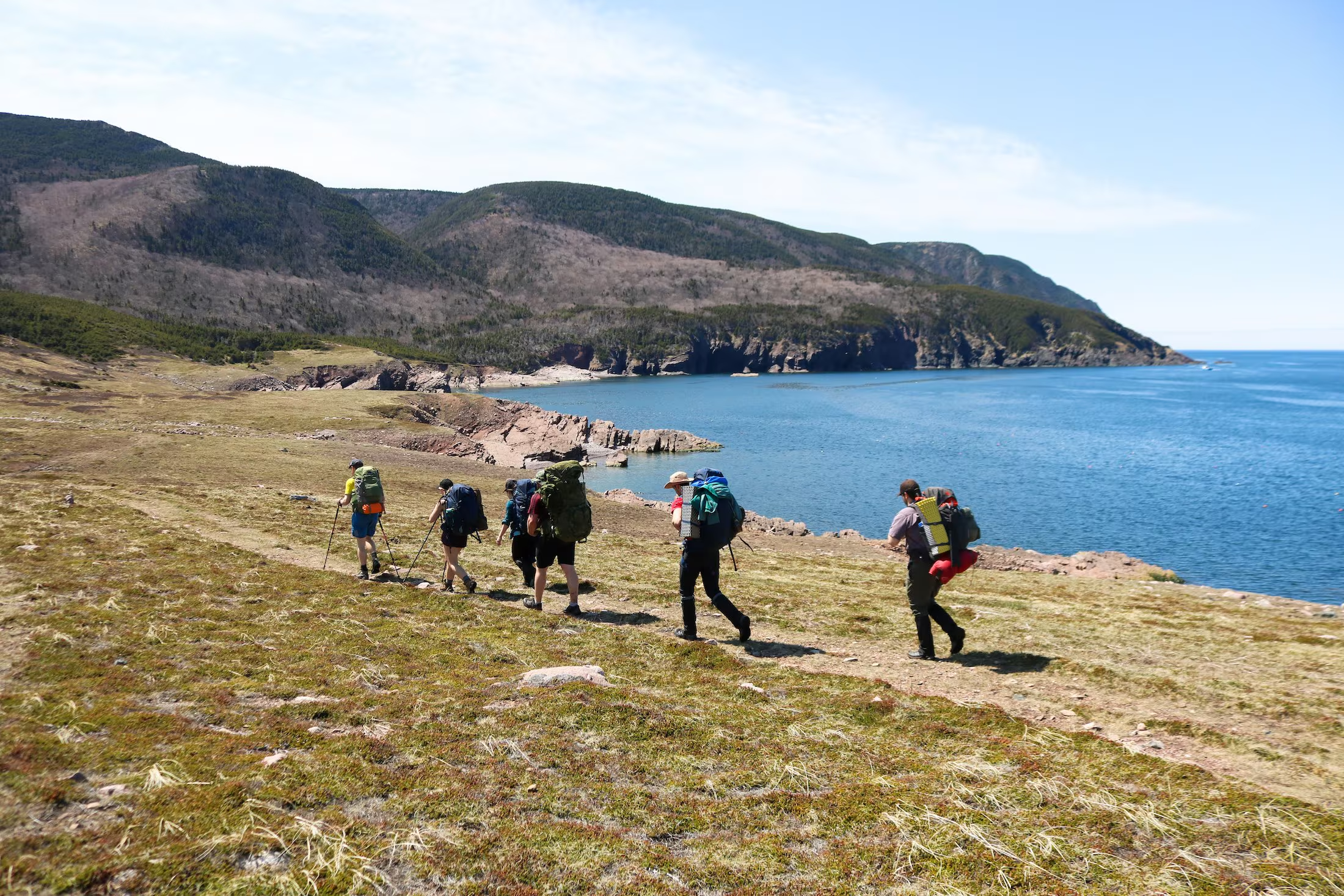
Introduction: If Nova Scotia has any community that looks like an alpine village, it is Meat Cove. Situated near the extreme northern tip of Cape Breton Island, the road literally ends here, the dirt track from Bay St. Lawrence hugging steep hillsides above sheer coastal cliffs until it drops into the deep ravine carved by Meat Cove Brook. This appears to be a trail at the end of the earth, and is as remote as it seems.

Meat Cove earned its name in the late 1700s, when the stench of slaughtered moose caused complaints from passing ships. There are numerous hiking options available near the community; the one described was profiled originally in Walk Cape Breton, published in 1975. The Cape St. Lawrence-Lowland Cove loop can be a challenging one-day trek, or undertaken as a more relaxed two-day campout.

Cautionary Notes: Wildlife, rugged terrain, hunting is permitted in season. No cell phone reception.

Ratings are designated from 1 to 5 indicating suitability for all fitness and experience levels, with 5 being suitable only for experienced and very fit outdoor people. Novices should only choose level 1 and 2 hikes, and work their way up. Level 4 and 5 hikes have indicators associated with their ratings.
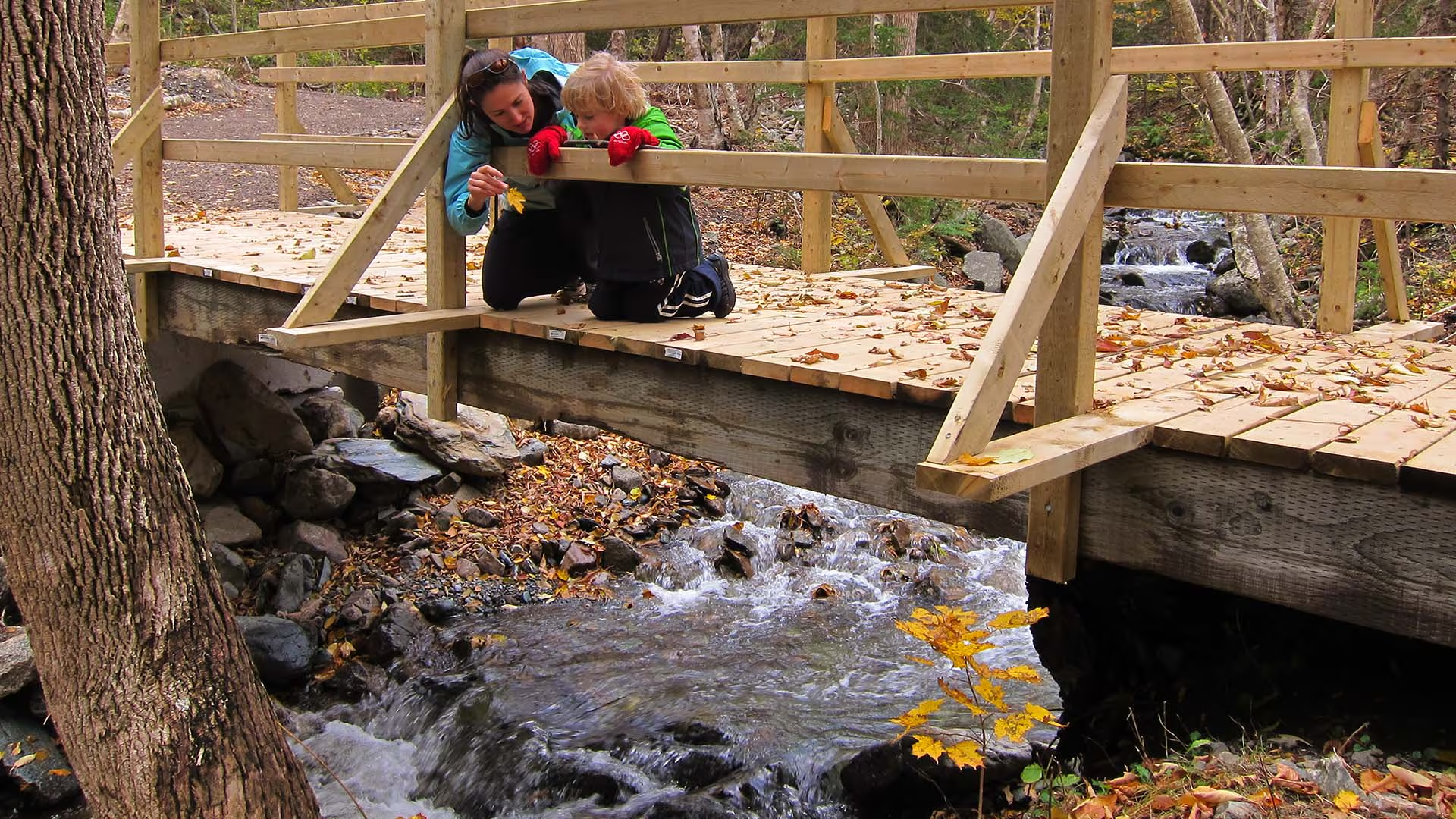
Lower North River Falls

Waterfall Season Select!

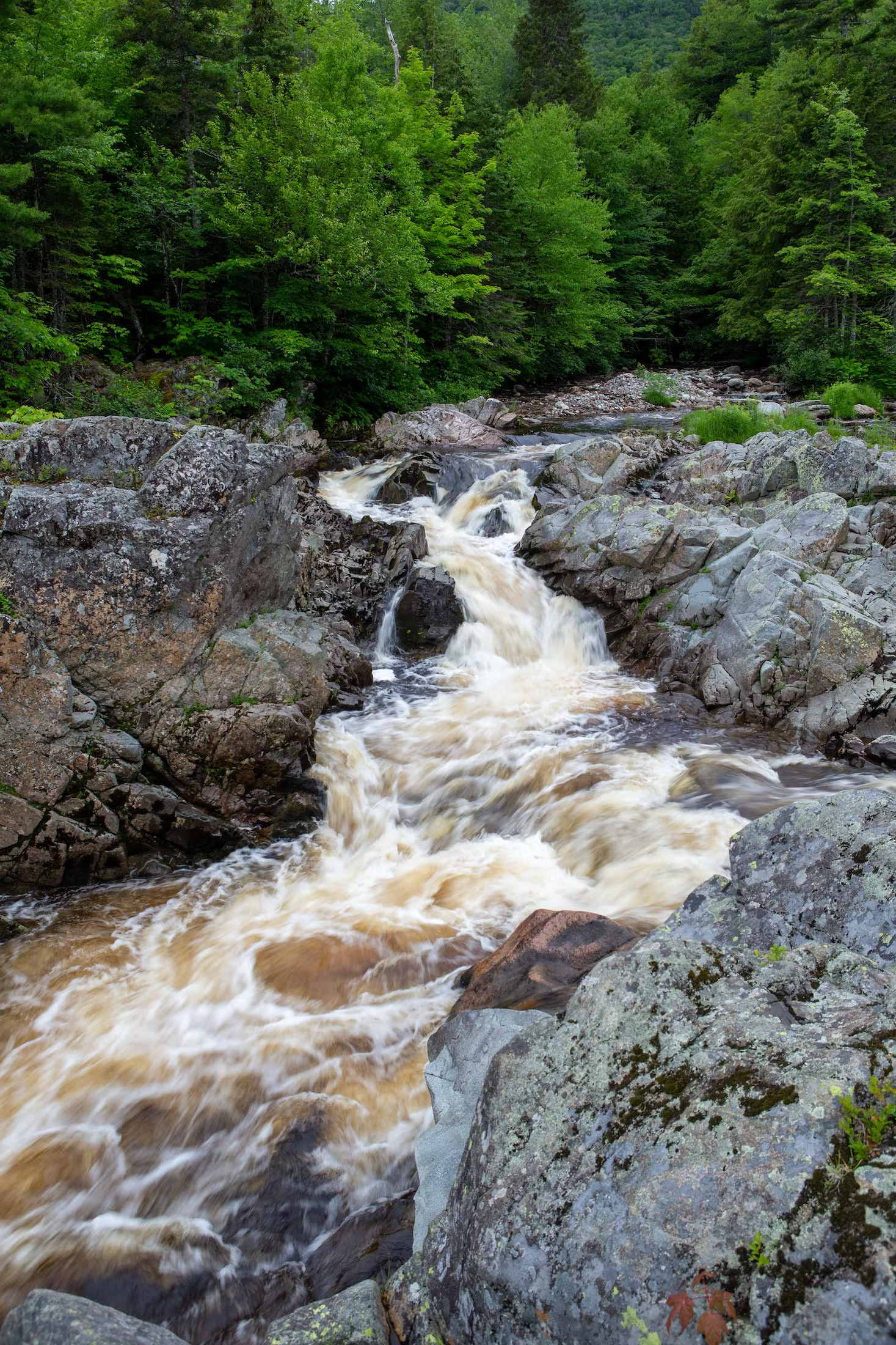
Lower North River Falls

Height: 5 m

Distance (one way):  approximately 1 km

Difficulty: easy

Hiking Time: 1 hour

Cellphone Coverage: No

Finding the Trailhead: On the Cabot Trail northeast of Baddeck, drive to North River Bridge. On the east side of the bridge across the North River, turn onto Oregon Road and drive to the end where you will see the entrance to the North River Falls Provincial Park and the trailhead. Park here. The trailhead is on the left side (south side) of the parking lot.

Trailhead: 46°19’05.4"N 60°39’45.0"W  Waterfall: 46°18’59.9"N 60°40’15.5"W

The Hike: From where you park look for the trail on the left (south) of the parking lot. The trail begins with a gentle descent to the river and then follows the river for a few hundred metres. The trail has had some washouts closer to the waterfalls but is still easily traversable. Keep an eye on the trail as it can be easy to miss, especially on your way out.

Lone Shieling Trail

Featuring 400-year-old sugar maple trees, the Grande Anse Valley is one of the largest old-growth hardwood forests in the Maritimes. As one of the most protected areas of the park, access is restricted to this short trail. A replica of a Scottish crofter’s hut is found at the beginning of the trail – find out why it’s here. Keep an eye out for wildlife – moose like it here too.

Trailhead: On the Cabot Trail at the base of North Mountain 

Significant Feature: Old-growth Acadian forest, Scottish heritage

Length: 0.6 km (0.4 mi) loop

Hiking Time: 15 minutes

Elevation: 70 m (230 ft.)Interactive loop suitable for most skill levels.

Trail Rating: Easy

GPS Co-ordinates for Trailhead (in decimal degrees):Lat: 46.809804 Long: -60.733019

Park is open year-round but full visitor services are only available from mid-May until mid-October.  A park pass is required all year for hiking or use of other services in the park.  Check in at the Parks Canada Visitor Centres in Chéticamp (16 Visitor Centre Road, just off the Cabot Trail on the west side of the park) or in Ingonish (37637 Cabot Trail, on the east side of the park) to obtain passes, information on visitor safety and any other information you may need, including a trail location map.

For your comfort and safety:

  • Do not approach, disturb or feed wild animals. 
  • Take along appropriate clothing 
  • Rapid weather changes often occur on the plateau or along the coast.
  • Carry water with you, especially for longer trails, climbs or open barrens.
  • Bring insect repellent as black flies and mosquitoes are common all summer.
  • Mountain bikes are permitted only where indicated, for public safety and protection of the environment.
  • Stay on designated trails and boardwalks to protect fragile vegetation.
  • Do not throw food or scraps along the trails or roads.
  • Read "Keep it Wild, Keep it Safe" brochure, available at park visitor centres and on the Parks Canada website.
  • Recreational drone use is prohibited within the national park for the safety of wildlife and other visitors.
Exterior of Building

Live Life in Tents – Ingonish Beach

Live Life In Tents’ second location on the Cabot Trail is located next to Ingonish Beach & Freshwater Lake in the Cape Breton Highlands National Park, and offers equipment rentals and camping essentials in their retail shop, including 90-minute kayak and stand-up paddleboard (SUP) rentals for use on Freshwater Lake.

Camping and hiking equipment rentals including tents, sleeping bags, and more.
Pick up camping and hiking essentials such as stove fuel and freeze-dried camping meals, LLIT and other Cabot Trail merchandise.
Our small retail shop also offers purchasable snacks, refreshments, ice cream, fresh, locally roasted coffee and tea, sunscreen and more!
Our shop is open daily from June to September and on weekends, September to October from 9 am – 6 pm.
Stop in and say hello!

Little Grassy Trail

Enjoy this short (less than 2 km) trail to one of the best and most hidden views on the Island!

Le vieux chemin du Cap-Rouge Trail

Follow the route of the old Cabot Trail from Trout Brook as it gently climbs to a ridge midway up Jerome Mountain, offering views of the Atlantic along the entire length of this trail. Traces of Acadian history abound, with foundations of an old school and of former residents’ houses along the trail. The old wharf at La Bloc is also visible at various points on the journey. Your efforts will be rewarded at the final look-off featuring spectacular views of Presqu’île and the Gulf of St. Lawrence. An exhibit at the look-off provides further information on the families who used to live here.

Trailhead: On the Cabot Trail across from Trout Brook
Significant Features: Acadian history, ocean view
Length: 8.8 km (5.5 mi) return
Time: 2–3 hours
Elevation: 40–110 m (130–360 ft)
Long, gentle climb. Suitable for most skill levels.
Trail Rating: Easy

GPS Co-ordinates for Trailhead (in decimal degrees): Lat: 46.714762 Long: -60.933245

Park is open year-round but full visitor services are only available from mid-May until mid-October. A park pass is required for hiking or use of other services in the park; park entry fee applies. Check in at the Parks Canada visitor centres in Chéticamp (16 Visitor Centre Rd., situated on the west side of the park) or in Ingonish (37637 Cabot Trail, on the east side of the park) to obtain passes, information on visitor safety and any other information you may need, including a trail location map.

For your comfort and safety:
– Do not approach, disturb or feed wild animals.
– Take along appropriate clothing – rapid weather changes often occur on the plateau or along the coast.
– Carry water with you, especially for longer trails, climbs or open barrens.
– Bring insect repellent as black flies and mosquitoes are common all summer.
– Mountain bikes are permitted only where indicated, for public safety and protection of the environment.
– Stay on designated trails and boardwalks to protect fragile vegetation.
– Do not throw food or scraps along the trails or roads.
– Read "Keep it Wild, Keep it Safe" brochure, available at park visitor centres and on the Parks Canada website.- Recreational drone use is prohibited within the national park for the safety of wildlife and other visitors.

Le Buttereau Trail – Cape Breton Highlands National Park

The trail explores a spruce forest, old fields and foundation ruins on a “buttereau” (small hill) overlooking the Chéticamp River and Gulf of St. Lawrence. Wildflowers, trees and shrubs have invaded these pastures that were once tilled by the Acadian pioneers, making an ideal spot for birds and small mammals. Plaques commemorate former Acadian homesteads. Continue onto the connecting Chemin du Buttereau Trail to add 4.6 km to your hike.

Trailhead: On the Cabot Trail opposite the Grande Falaise picnic area. 

Significant Feature: Acadian history, ocean

Length: 1.6 km (1 mi) loop.

Hiking Time: 30–45 minutes

Elevation: 10–55 m (35–180 ft.)Interpretive loop. Suitable for most skill levels. Short climbs.
Trail Rating: Easy

GPS Co-ordinates for Trailhead (in decimal degrees):
Lat: 46.676389 Long: -60.957946

Park is open year-round but full visitor services are only available from mid-May until mid-October.

Open from mid-May to mid-October. A park pass is required for hiking or use of other services in the park; park entry fee applies. Check in at the Parks Canada visitor centres in Chéticamp (16 Visitor Centre Rd., situated on the west side of the park) or in Ingonish (37637 Cabot Trail, on the east side of the park) to obtain passes, information on visitor safety and any other information you may need, including a trail location map.

For your comfort and safety:

  • Do not approach, disturb or feed wild animals.
  • Take along appropriate clothing – rapid weather changes often occur on the plateau or along the coast.
  • Carry water with you, especially for longer trails, climbs or open barrens.
  • Bring insect repellent as black flies and mosquitoes are common all summer.
  • Mountain bikes are permitted only where indicated, for public safety and protection of the environment.
  • Stay on designated trails and boardwalks to protect fragile vegetation.
  • Do not throw food or scraps along the trails or roads.
  • Read "Keep it Wild, Keep it Safe" brochure, available at park visitor centres and on the Parks Canada website.- Recreational drone use is prohibited within the national park for the safety of wildlife and other visitors.

La Bloc Beach

Connect with nature and local history with a visit to La Bloc Beach. Explore the pebbly shoreline, take a dip in the warm gulf waters, or savour a picnic with the sea at your feet and the mountains behind you. Keep your binoculars nearby to watch for the majestic sight of whales breaching off the coast. 

Learn about the fishing traditions of the nearby Acadian community. Take in the remnants of a historic wharf, still reaching into crashing waves of the gulf, and imagine life on the rugged coastline.

Photographers will love the uninterrupted coastal views and the unique features of Presqu’île and Pillar Rock close by. End your day at the beach to take in spectacular sunsets and get inspired for your next adventure. 

Picnic area, interpretive panels and pit privies on site. No lifeguards on duty at this beach.

Cape Breton Highlands National Park’s operating season is from mid-May to mid-October, with full services in July and August. The Cabot Trail is open year-round. A park pass is required for use of all services and facilities in the national park, including beaches. Revenues are used to maintain and improve park services.

For more swimming adventures, visit our website:  https://parks.canada.ca/pn-np/ns/cbreton/activ/baignade-swimming
#KeepitWild
Please be responsible and join with us in caring for our environment. Take your garbage with you, keep wildlife at a safe distance, and stay on designated trails to protect fragile plant life. 
Nature, other visitors, and future generations will be thankful for your stewardship.

Keltic Express Zodiac Adventures

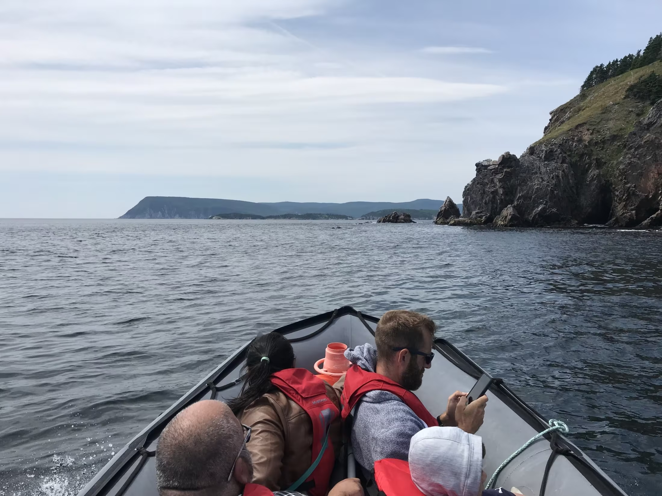
Welcome to Keltic Express Zodiac Adventures (KEZA), an unforgettable journey located on the world-renowned Cabot Trail in Ingonish, Cape Breton, Nova Scotia, Canada.

Join us for a one-of-a-kind adventure that allows you to explore the natural beauty of northern Cape Breton and the rich marine life along its coastlines. Speed along the rugged shores as we seek out magnificent creatures like whales, dolphins, seals, leatherback turtles, puffins, and eagles! Prepare to be captivated by the mystique of Ingonish Island, the secluded light keeper’s station, and the awe-inspiring cliffs near the renowned Kelitc Lodge – it’s the highlight of your vacation!

During the spring and summer, the tidal waters near Ingonish come alive with an abundance of marine life, and luckily, our prime location is just a short zodiac ride away. Get ready for incredible sightings of majestic Fin whales, playful dolphins, graceful Minke whales, and the majestic Humpback whales. Seals and Puffins accompany us on nearly every tour, and our sightings success rate is among the best in Atlantic Canada!

If you’re planning a scenic drive along the breathtaking Cabot Trail on Cape Breton Island, treat yourself to KEZA and marvel at the pristine views from a unique marine perspective. Calling all nature lovers, thrill seekers, and photographers – this is the ride of a lifetime you won’t want to miss! Book your adventure with us and get ready to create cherished memories in the heart of Canada’s natural wonderland.

Kauzmann Trail

Kauzmann Trail is a 3.7 kilometer lightly trafficked out and back trail located near Bay Saint Lawrence East, Nova Scotia, Canada that features a river. The trail is good for all skill levels and primarily used for hiking, walking, and nature trips.