St. Ann’s Provincial Park

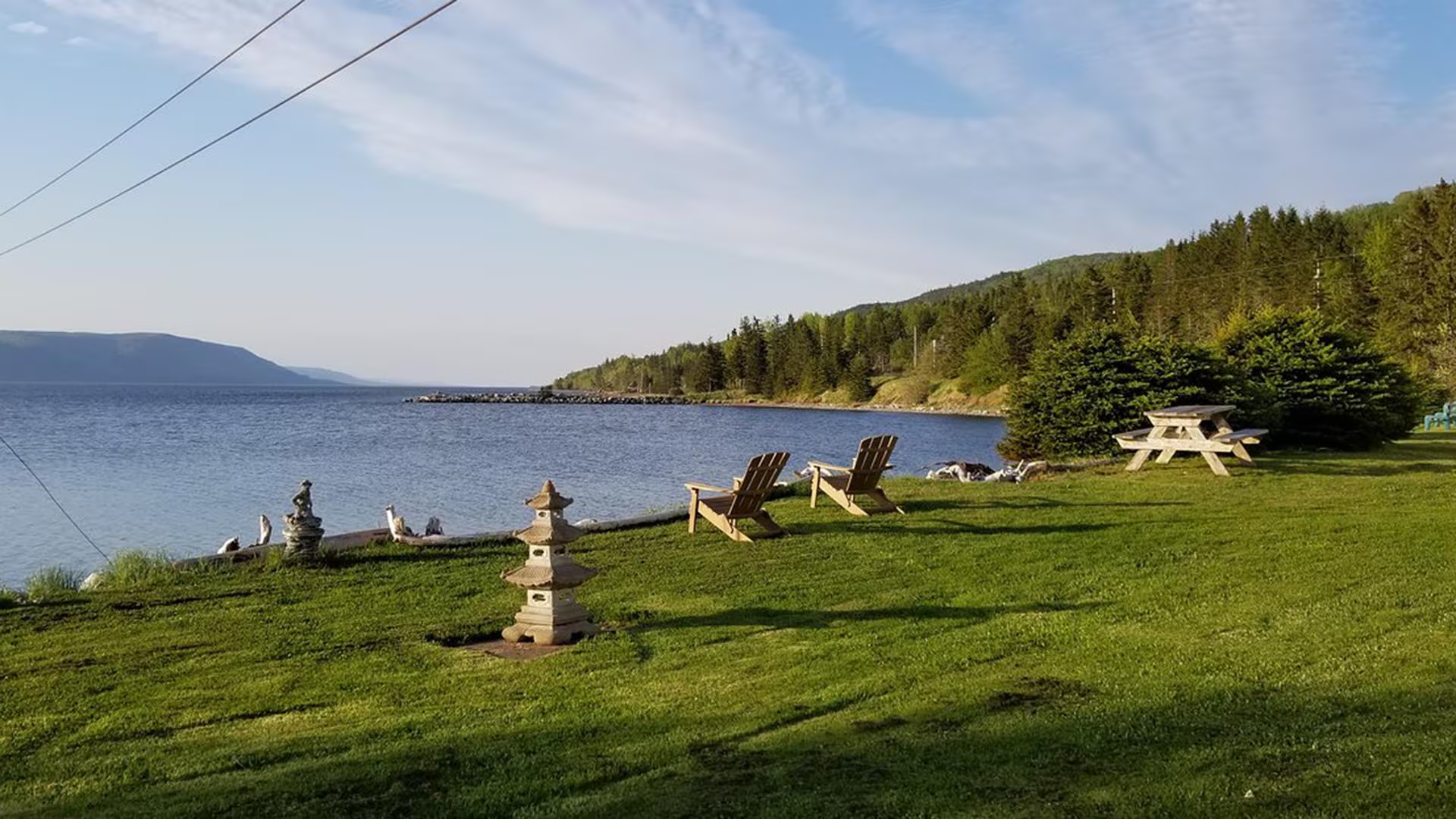
St. Anns Provincial Park is a small picturesque picnic park, with tables under softwood trees, on the shore of North Gut along the Cabot Trail on Cape Breton Island.  

The park has a 500-m trail with look off which overlooks a saltmarsh and offers views across St. Anns Bay.

St. Ann’s Motel

St. Ann’s Motel, located in on St. Ann’s Bay in South Haven, the gateway to the scenic Cabot Trail (Exit 11, Hwy 105) on beautiful Cape Breton Island, offers a panoramic view of St. Ann’s Harbour from each room. 
Breathe in the fresh ocean air as you watch the eagles soar overhead or go for a swim in the saltwater harbour. Our location is central and ideal for day a trip to the Cape Breton Highlands National Park, which lies along the Cabot Trail, providing world class hiking, camping and scenic look-offs. Enjoy a puffin tour or a hike to the North River Falls, the highest in Nova Scotia. Our property is located 10 minutes from Baddeck and only 25 minutes to the Newfoundland Ferry.  
Our accommodations include 8 walk up units (single, double, queen beds), with 4-piece bath, satellite television, coffee maker and fridge, and one 1 bedroom housekeeping cottage suite.
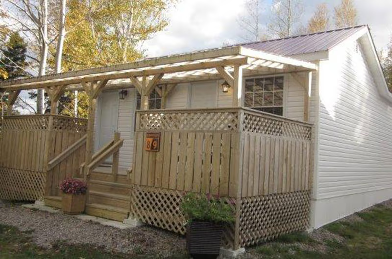
The 1 bedroom wheelchair accessible cottage comes with 2 queen beds, 4-piece bath, satellite television, wifi and wired internet, microwave, full kitchen, dining room, seating area, coffeemaker, a barbecue and walkout patio with panoramic ocean views. 
Located next door to the motel is a restaurant. Outdoor activities include fishing, swimming and hiking trails are all located nearby.
Visa, MasterCard, E-transfer and Direct Debit are accepted.

Skyline Trail

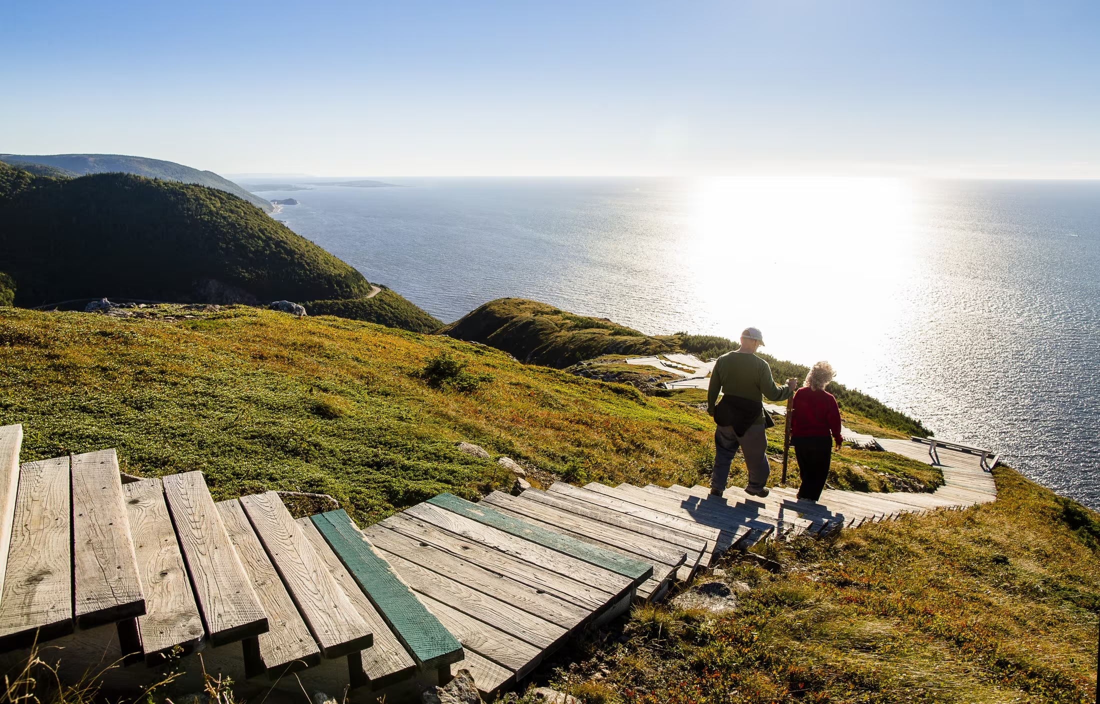
A dramatic headland cliff overlooks the rugged coast from the end of this level trail. You can enjoy an eagle’s view of the Cabot Trail as it winds its way down the mountain and vehicles look like toys. Watch for whales in the Gulf of St. Lawrence from the viewing decks. Moose, bald eagles, bears and numerous boreal birds live in this habitat. Give moose a wide berth. You are required to stay on the boardwalk. This protects the fragile headland plants that are easily damaged by trampling and you, the visitor, from the dangers of steep cliffs and high winds. Fines may be issued for entering restricted areas. For the safety of visitors and wildlife, dogs are not permitted here. Wildlife like moose and bear become particularly agitated in the presence of dogs. 

Trailhead: On the Cabot Trail on the top of French Mountain 

Significant Feature: Headland cliff, ocean

Length: 6.5 km (4 mi) return; 8.2 km (5.1 mi) loop

Hiking Time: 1.5–3 hours

Elevation: 290–405 m (950–1330 ft.)Main trail suitable for most skill levels. Boardwalk with steps at headland.
Trail Rating: Easy

GPS Co-ordinates for Trailhead (in decimal degrees): Lat: 46.737691 Long: -60.880377

Park is open year-round but full visitor services are only available from mid-May until mid-October.

A park pass is required for hiking or use of other services in the park; park entry fee applies. Check in at the Parks Canada visitor centres in Chéticamp (16 Visitor Centre Rd., situated on the west side of the park) or in Ingonish (37637 Cabot Trail, on the east side of the park) to obtain passes, information on visitor safety and any other information you may need, including a trail location map.

For your comfort and safety:

  • Stay on boardwalks to protect fragile vegetation.
  • Dogs are not permitted on the Skyline Trail as they disturb wildlife, especially moose and bear.
  • Do not approach, disturb or feed wild animals.
  • Take along appropriate clothing – rapid weather changes often occur on the plateau or along the coast.
  • Carry water with you, especially for longer trails, climbs or open barrens.
  • Bring insect repellent as black flies and mosquitoes are common all summer.
  • Stay on designated trails and boardwalks to protect fragile vegetation.
  • Do not throw food or scraps along the trails or roads.
  • Read "Keep it Wild, Keep it Safe" brochure, available at park visitor centres and on the Parks Canada website.
  • Recreational drone use is prohibited within the national park for the safety of wildlife and other visitors.

Skyline Trail parking reservations will be required during the 2026 peak season.


A new parking reservation system will be in place from June 26 to October 25, 2026.

To ensure a safe and enjoyable visit, visitors must plan ahead and secure a parking reservation in advance. Once all parking reservations are booked, there is no access to the trail during that time. Visitors are strongly encouraged to book their parking reservation online or by phone before arriving to guarantee entry and avoid disappointment.

Reservations launch May 6, 2026, at 8 a.m. ET / 9 a.m. AT for Skyline Trail parking, required from June 26 to October 25, 2026.

Plan ahead and secure your spot early!

For more information click here.

When to visit

Visitation is highest on weekends and holidays, and advance planning is strongly recommended. From November to May, parking reservations are not required. This quieter period still offers a rewarding Skyline Trail experience, though visitors should note that services are limited. Visitor services are available from mid-May through October 25, 2026.

What are the time slots?

Regular Parking:

• 8:00 am – 12:00 pm

• 9:00 am – 1:00 pm

• 12:00 pm – 4:00 pm

• 1:00 pm – 5:00 pm

• 4:00 pm – 8:00 pm

• 5:00 pm – 9:00 pm

When booking your parking reservation, you’ll choose from a four-hour window that best fits your schedule. This gives you plenty of time to arrive, prepare, and begin your hike. Visitors may check-in within the first hour into their reserved time slot but should arrive no earlier than 10 minutes before their reservation.

Time slot arrivals help space out visitation throughout the day, creating a more relaxed experience. Parking reservations can be made up until 30 minutes past the start of a time slot.

How to book


There are two ways to reserve your parking spot at the Skyline Trail

• Online

• By telephone: 1-877-737-3783

How to make an online reservation for Skyline Trail parking:


If you have never made a Parks Canada reservation or if you haven’t made a reservation since before March 3, 2023, you’ll need to create a new account. For more information on how to create a Parks Canada Reservation Service account, click here.

Skyline Sunset Hike

Immerse yourself in the splendour of the sunset as the ocean glistens below. A walk through the boreal forest reveals this panoramic view, often graced by bald eagles, whales and moose. Here, the mountains truly meet the sea.

Your evening hike begins two hours before sunset at the Skyline trailhead, north of Chéticamp. Marvel at the picturesque scenery as your guide leads you along the trail to a jaw-dropping view from the Skyline headland, just in time to watch the sun as it sets on the Gulf of St. Lawrence.

Along the way, listen as your guide stops to describe the area’s biodiversity. Visit a viewing platform and learn more about the challenges facing the area’s boreal forest, as well as the effects of over-browsing by the moose population.

Once you reach the headland, feel free to enjoy the views and the sunset on your own. Your guide is also available for questions. Return to the trailhead at your leisure, or walk back with your guide.

Length: 3 hours

Offered: Daily, June 23 – October 12, 2025

Time: Tour begins 2-hours before sunset. Find out the sunset time here.

Price: $29.50 per person

Book your tickets at Parks Canada visitor centres, campground kiosks, or by contacting: 902-224-2306 or cbinfo@pc.gc.ca.

Good to know:

  • Recommended for visitors aged 12 and up
  • Suitable for most fitness levels
  • Meet at the Skyline trailhead, near the gate and sign at the turnaround end of the parking lot
  • The Skyline Trail is a 15-minute drive from Chéticamp Campground
  • Advance booking is required
  • Maximum of 20 participants
  • This guided hike will take place in most weather conditions, as long as participants wish to attend; however, in the case of lightning, the hike will be cancelled
  • Dress appropriately for the weather and be prepared to apply insect repellant or sunscreen
  • Sturdy shoes are recommended. Participants should bring their own drinking water.

Skyline Motor Court

13 cabins (queen or double bed; 5 with kitchenette, 6 with mini-fridge, microwave), all with 3-piece (shower) or 4-piece bath, satellite TV, clock radio, coffeemaker, large covered patio/deck; BBQs available. Near entrance to Cape Breton Highlands National Park; close to golf, beaches and hiking trails.

Ski Tuonela

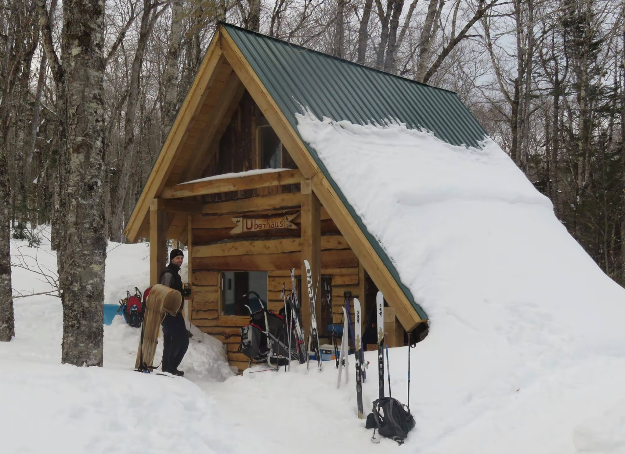
The “Tuonela Trail”, founded in 1997, boasts the maritime’s only serviced Telemark hill. Located in the snow belt of Cape Breton, it was discovered in the late 80’s by two avid backcountry skiers, Chris and Tim. It has been developed over the last ten years, with help from local skiers.

The Telemark Hill with an elevation of 900ASL, has a 1400ft run over a 400ft vertical. There are steep black diamond chutes at the top followed by a majestic run through a spaced maple and birch forest. Access to the top of the Telly Hill is by the groomed trail, snowshoes or climbing skins when the Telemark Hill is open. The 25km of x-country trails are groomed on a regular basis. Designed mainly for classic technique, some are wide enough to permit skating.

The “Millenium Trail”, with its 9 ungroomed switchback bends from the “Peligroso Loop” to the “Xriss-Xross” is a challenge for skiers of any level. “Xriss-Xross” for the 2006 season was totally redesigned and runs along ridges beetween sink holes. Along with its spectacular views of St. Ann’s Bay the “Top of the World” loop leads to the top of the Telemark Hill and accesses the “NDP” trail, the ultimate in black diamond fun. It is a groomed trail with steep sections, hairpin bends, and brings you right back into the Village. “OutThere.com” which leads from “The Hearth” back to “Round the Knoll”, was cut in 2005 and is on the top of the highlands plateau. New for 2008 is the “Manchester Loop” which is an easy 1 km warm-up loop to & from the Village.. Whatever level of skier you are, we have something for you.

Exterior of Building

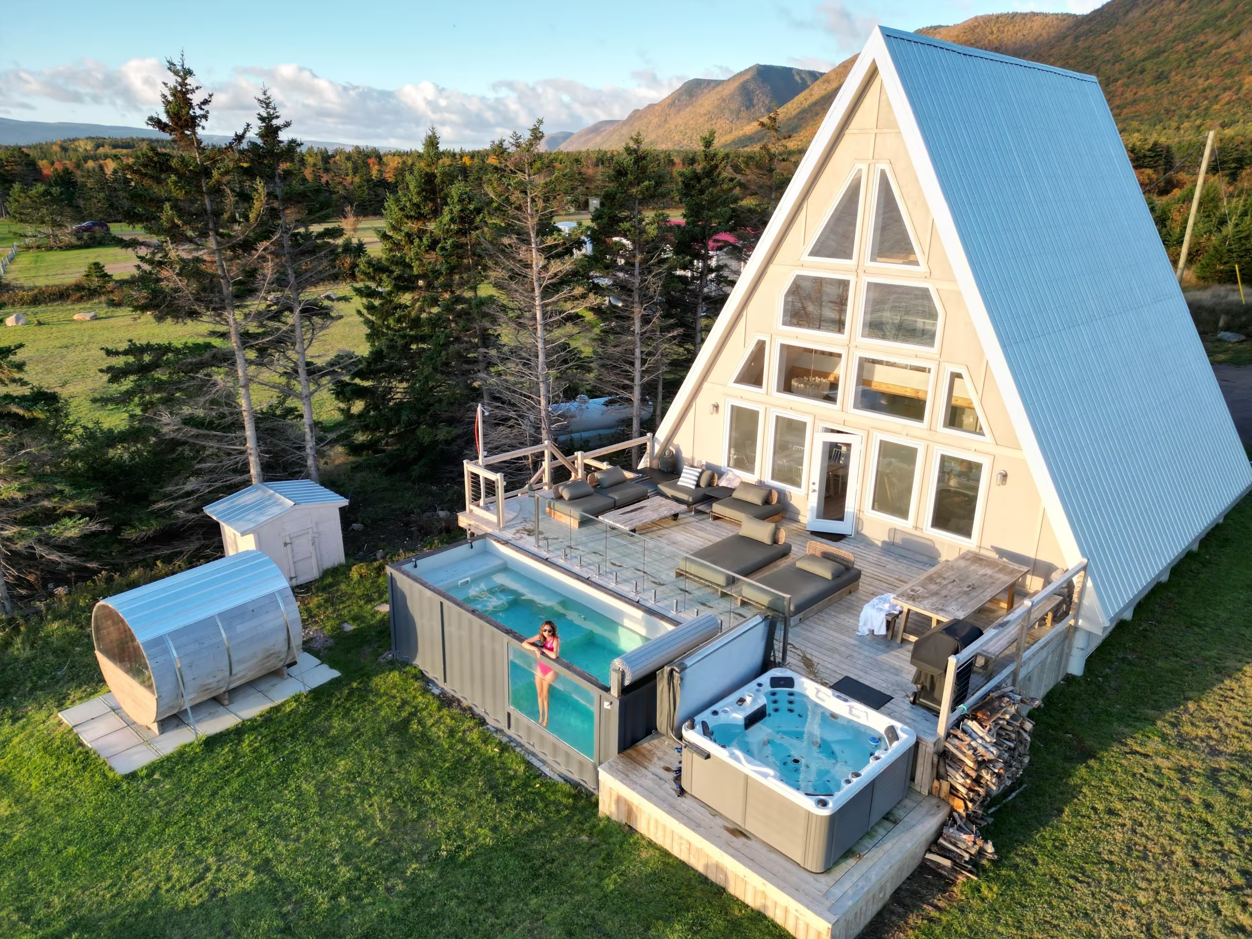
Sidanna Retreat: Mystical Beachfront Chalet

Mystical beachfront chalet is the perfect spot to explore the natural rugged beauty of Northern Cape Breton.
Perched on a 5 mile long, pink sandy beach and surrounded by world class hiking trails, this large, 2 story A Frame can comfortably accommodate up to 8 guests. 
Enjoy the breathtaking ocean views from the open concept living and dining areas under 30′ high cathedral ceilings or from a cozy second story loft. Both bedrooms offer gorgeous views of the highlands. The large well furnished oceanfront deck allows access to both the sauna and hot tub.

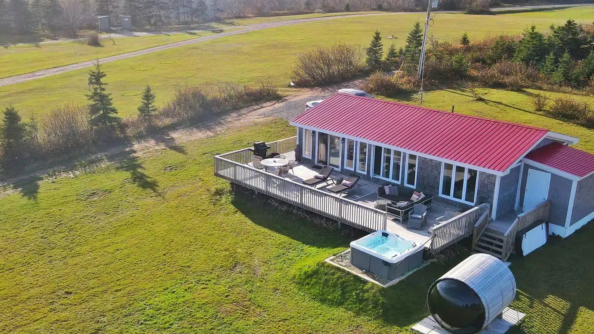
Exterior of Building

Sidanna Retreat: Blissful Beachfront Bungalow

Nestled between Sugar Loaf Mountain and the waters of Aspy Bay, just 10 minutes off the Cabot Trail, Our Blissful Beach front Bungalow sits on a 9 km long stretch of pristine pink sandy beach consisting of Cabot’s Landing Provincial Park, Five Mile Beach and South Harbor Beach. Spend your days exploring world class hiking trails, golfing in nearby Ingonish or just relaxing in your own private oasis. Our 2 bedroom retreat comes equipped with everything you could need for a perfect vacation, including private hot tub on you own 1000 square foot deck overlooking the beach.

Cancellation Policy:
Full refund if cancelled 48 hrs after booking50% refund after 48 hrs and up to 2 weeks prior to check inNo refund offered for cancellations less than 2 weeks before check in

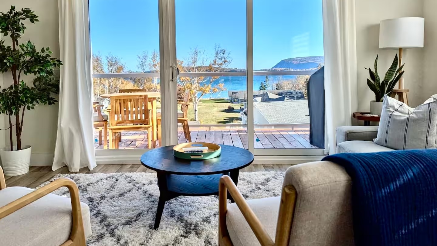
View of the ocean from sitting room

Serenity by the Sea Ingonish

This modern two-bedroom, two-bathroom condo in Ingonish, Cape Breton, features stunning sea views. 

With its nine-foot ceilings and large patio doors facing the ocean, you’ll be treated to panoramic views that will leave you in awe. 
Step outside onto the balcony and breathe in the fresh sea air as you take in the beauty of your surroundings. Includes a BBQ, beach access and parking. The second-floor unit is accessible by stairs.

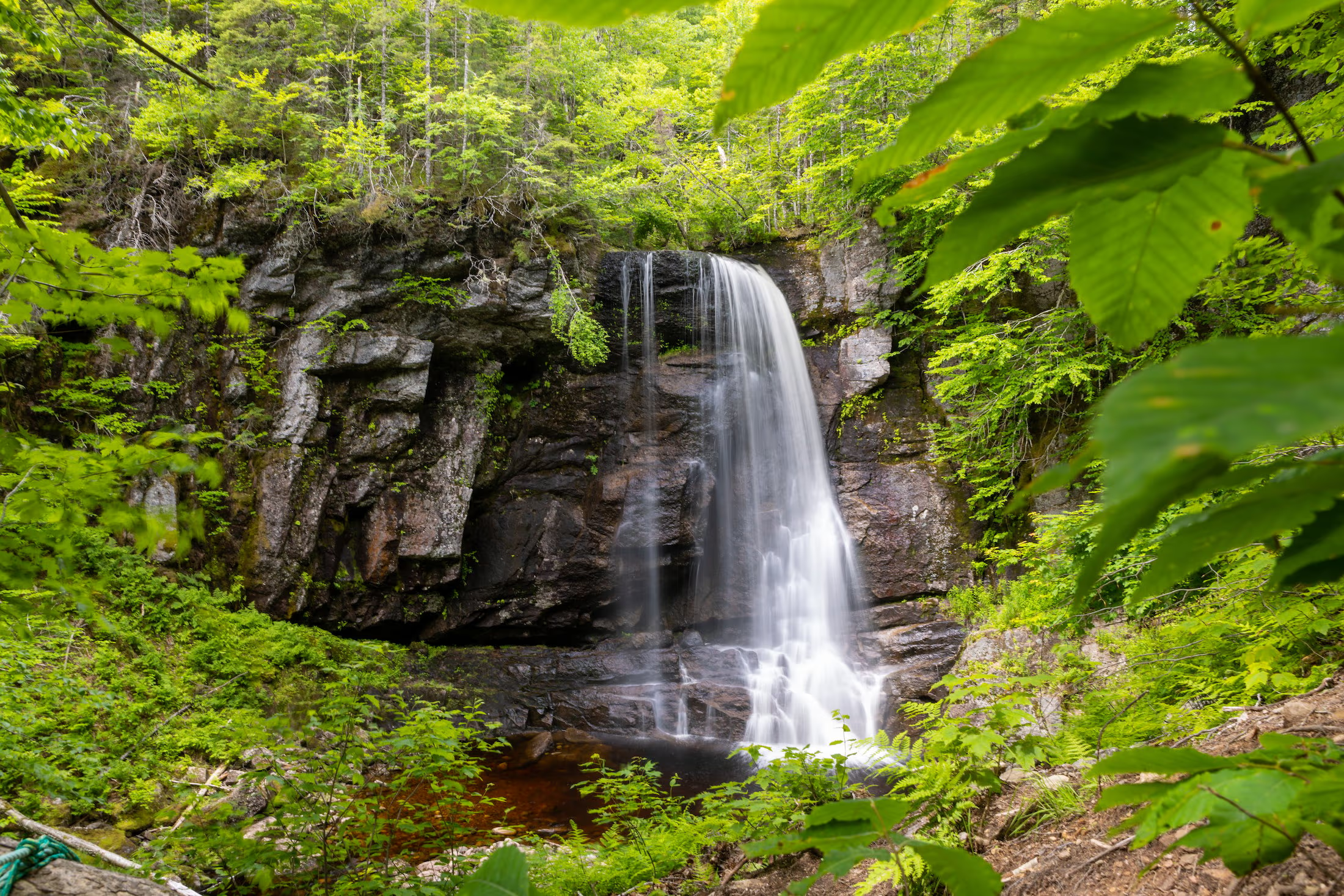
Second Branch Humes River Falls

Waterfall Season Select!


Second Branch Humes River Falls, Wagmatcook First Nation

Height: 15 m

Distance (one way): 4.8 km

Difficulty: Moderate to difficult

Elevation: 300 m

Hiking Time: 3 hours

Cellphone Coverage: Yes

Finding the Trailhead: From the Trans-Canada Highway (Highway 105) between St. Patrick’s Channel and Nyanza, turn onto Humes Rear Road, located 1 km southwest of the bridge over Middle River. Drive on the Humes Rear Road for 750 m and park near the school and baseball field.

Trailhead: 46º04’25.7”N, 60º55’19.0”W    Waterfall: 46º03’49.5”N, 60º58’35.8”W

The Hike: From where you parked, start walking on the continuation of the Humes Rear Road. There is a loss of elevation at first to a large wooden bridge over MacNaughtons Brook. After the first bridge, you cross another smaller brook and then walk uphill to an intersection after walking 1.5 km from your car. Turn to the right at the intersection and hike uphill to the narrow, wooden trail head (2.7 km from the parking lot).

There are lots of markers in the trees on the left of the road, and the narrow woodland Trail really begins here. The trail passes by an old rock wall and rock foundations, then it ascends a small hill. As of September 2020, the trail has been completed all the way to the fall with signage provided by the Wagmatcook First Nation. The route goes down one small valley, goes back up hill, and finally makes it to the falls on the Second Branch Humes River.